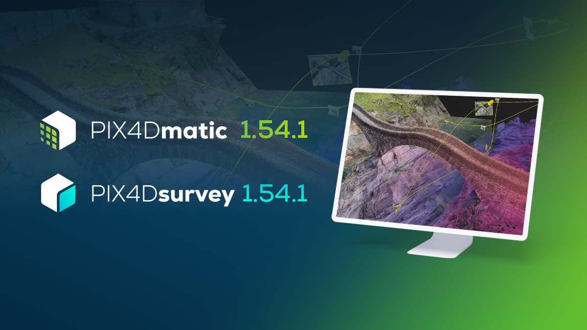
PIX4Dmatic & PIX4Dsurvey 1.54.1: video flythroughs and more!
PIX4Dmatic & PIX4Dsurvey 1.54.1
Unwrap the latest gifts from PIX4Dmatic in our new release, just in time for the festive season! As the year wraps up, we're delivering a bundle of joy for your mapping and surveying projects. From magical video flythroughs to the seamless merging of datasets, this update is like discovering a sleigh full of gifts. Enjoy the season of giving with greater control, precision, and insight, thanks to these innovative features that are sure to bring festive cheer to your project workflows!
Videos & views
Create immersive video flythroughs of your datasets and save multiple views for future reference, ideal for presentations in construction, surveying, engineering, and forensics.
Merging improvements
Seamlessly integrate multiple overlapping projects, aerial and terrestrial, regardless of their capture time, and utilize precision workflows with Ground Control Points (GCPs) or Manual Tie Points (MTPs) to ensure the highest merging accuracy. This update introduces the flexibility to merge into an existing project or create a new one, allowing you to review and adjust changes before finalizing the merge.
Object Selection Tool
Quickly select and classify objects in point clouds with this new tool, streamlining the cleaning and classification process for a more efficient workflow.
Quality Report improvements
The enhanced Quality Report provides in-depth insights into your dataset's processing, highlighting calibration quality and helping you to pinpoint any issues, this ensures reliable and trustworthy results. The DSM and orthomosaic were also added for higher data coverage in the quality report.
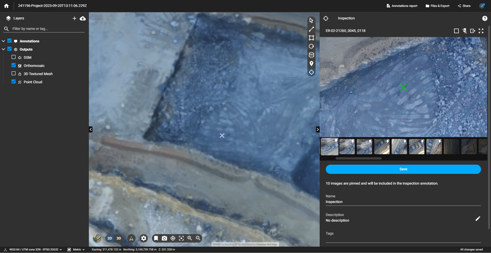
Virtual Inspector
Now, when you share your projects to PIX4Dcloud, you can utilize the Virtual Inspector tool for detailed analysis and documentation of your PIX4Dmatic projects, enhancing project flexibility and third-party usage.
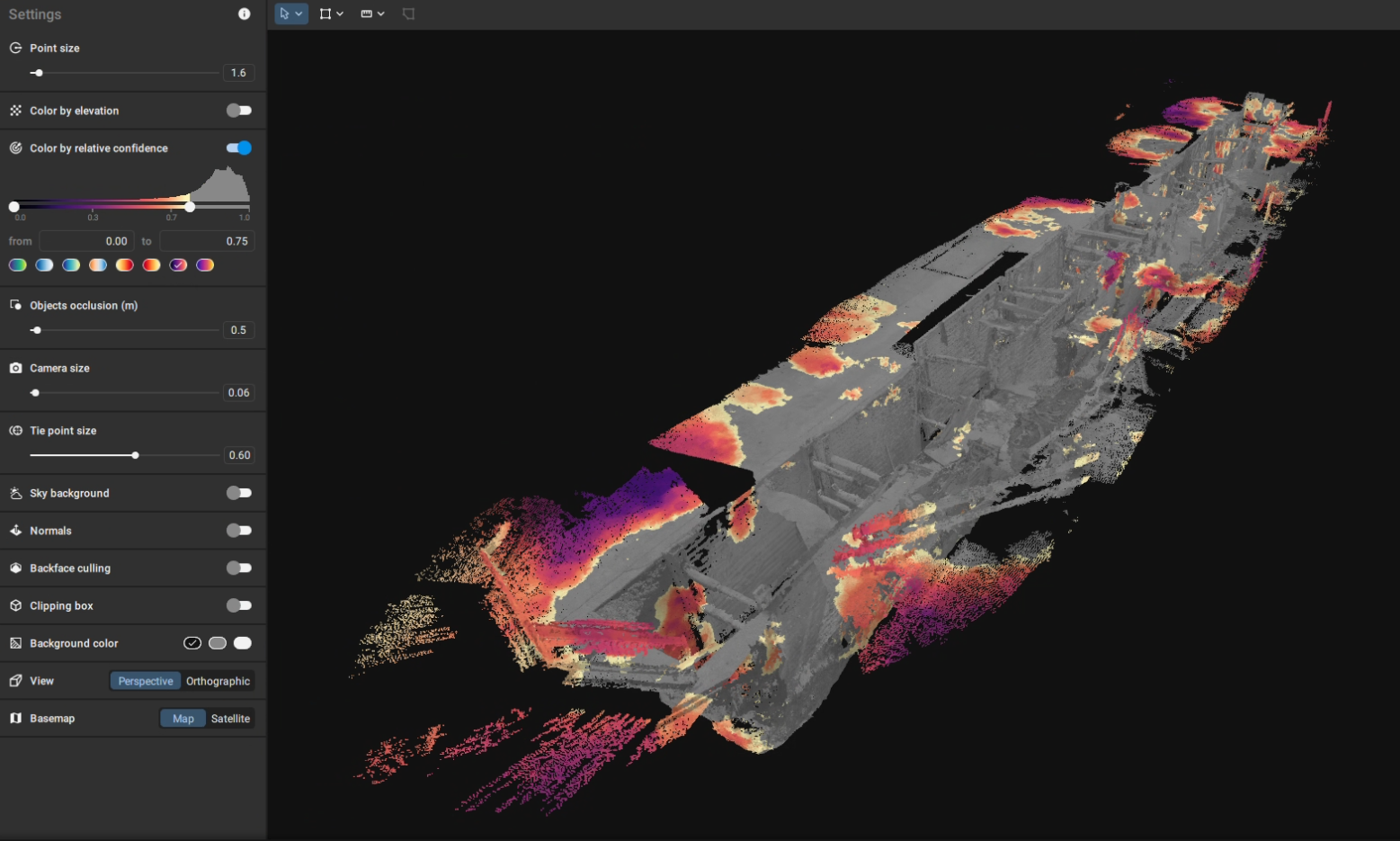
Relative confidence map
Visualize areas of low calibration confidence in your datasets, guiding improvements in data capture or processing for more accurate and reliable results. This map will help you understand where you could add GCPs and MTPs, improving the calibration of your dataset and the final output.
Consistent distance measurements
Measurements made in PIX4Dmatic are now consistently displayed in your 3D viewer, allowing for easy documentation and enhanced presentation capabilities, especially useful with the new video feature where you can display measurements while flying through your dataset.
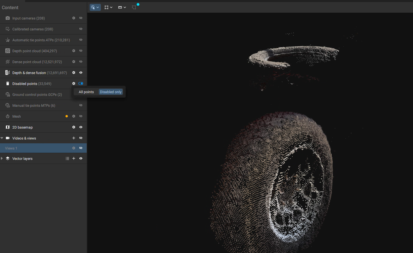
Disabled points
In PIX4Dmatic, in addition to editing point clouds directly, you can now view disabled points directly from the 'Content' menu, providing transparency and integrity in fields like law enforcement and forensics.
But wait, there's more! We also added Polygon holes, Planar geometry, ASPRS classes and much more!
With this release, we are also adding the following features and improvements:
New features
- Select geoid height, even if there are geoids available
- Mesh smoothing parameter, to apply smoothing to the generated mesh
- Quality report in PDF is now available in MacOS
- You can now create polygon holes in your polygons
- Set your polygons as planar or non-planar by enabling or disabling "Planar geometry"
- The ASPRS Classes are now available in PIX4Dmatic
- Invert selection to invert your point cloud selection by right-click on the point cloud and choosing "Invert selection"
- Now you can export tie point marks in .txt and .csv
- Added option to export the point cloud as LAS 1.2
- Added option to convert a distance measurement to a scale constraint
- Added option to hide GCPs, MTPs, Checkpoints and mITPs individually
- Added new geoids:
- Argentina | SRVN16 height - EPSG:9255 | GEOIDE-Ar16
- Poland | EVRF2007-PL height - EPSG:9651 | PL-geoid-2021
Improvements and bug fixes
- Improved satellite images in many parts of the world
- Improvements on the Merge Projects feature
- Improvements and bug fixes related to the Quality Report as PDF export
- Improvements to the camera internals dialog
- Fixed various crashes
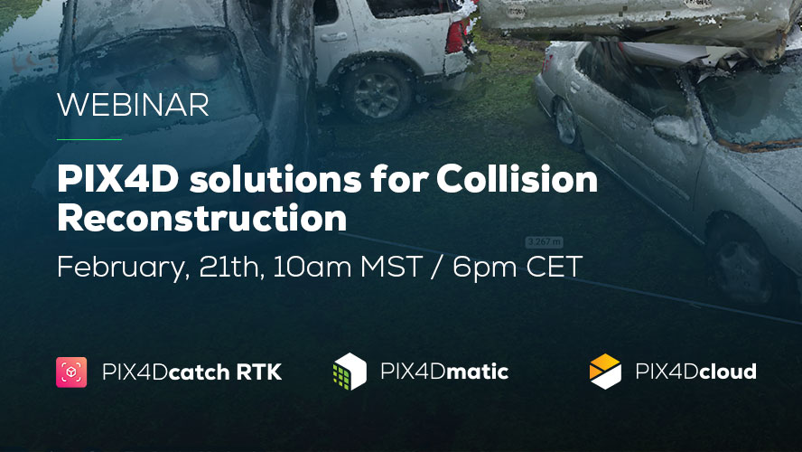
Explore Pix4D’s solutions for Collision Reconstruction and Forensics. Join our webinar on February 21st. Explore capturing scenes using your phone and drone with subject matter experts. Learn how to process, merge, and utilize data, export videos for sharing in court.
Want to learn more? Check our online and onsite workshops. We also have the brand new PIX4Dmatic Essentials online course and the Collision Reconstruction with PIX4Dmatic online course, ideal for public safety professionals. Download PIX4Dmatic now and try all the new improvements and functionalities!