Experience property in photorealistic 3D
Interactive 3D property showcase, created from images
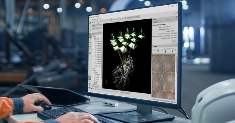
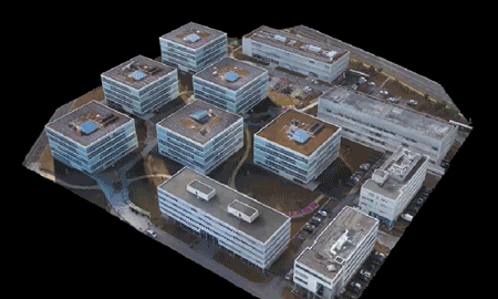
Capture and recreate reality
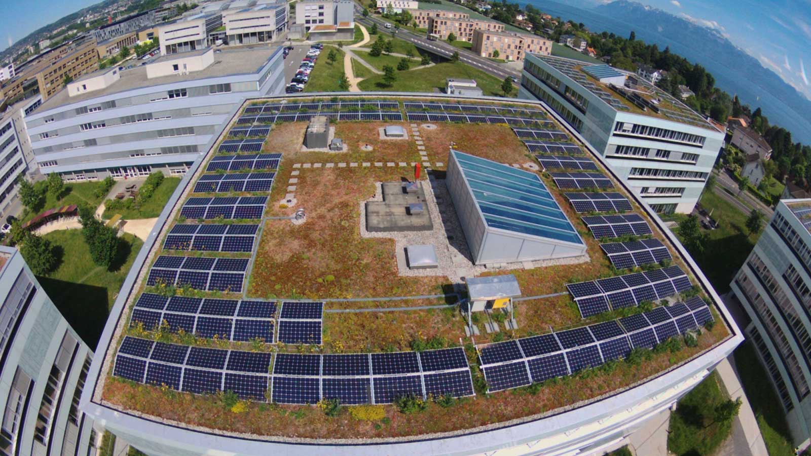
Easily capture and model a property in 3D, purely from drone images.
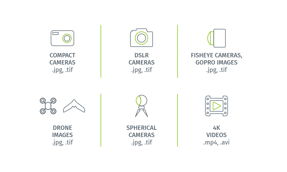
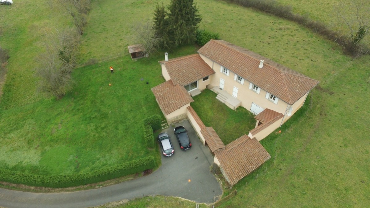
Flexible input
Import images captured by any drone-mounted or handheld camera. Compact, DSLR, 360° cameras, from small to large frame and from consumer-grade to highly specialized cameras.
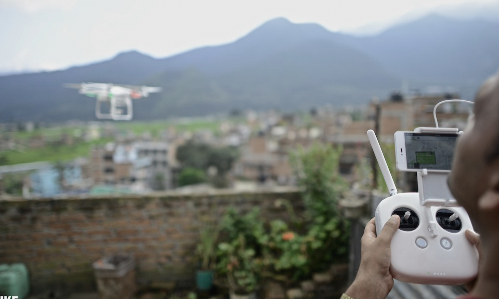
Automatic image capture
If you choose to use a drone, you can automate your image capture using PIX4Dcapture, our mobile flight-planning app. Design and control your flight to obtain images optimized for 3D modeling.
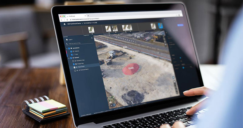
Collaborate, share and publish
Share your 3D models online with your clients and your team or embed them on your website. You can pinpoint important elements, add annotations, and make distance and surface measurements.

Share the results
Take your 3D model and embed on your website, 3D print, or explore in virtual reality.
Create videos
With just a few clicks, you can create a dynamic fly-through video. Choose the viewing angles and define the path that better conveys the key features you want to highlight.
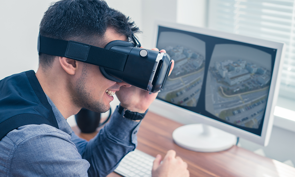
Create immersive content
You can import your 3D models into 3D & VR platforms to offer immersive virtual tours. This allows thousands of potential buyers to explore the same property simultaneously, from anywhere in the world.
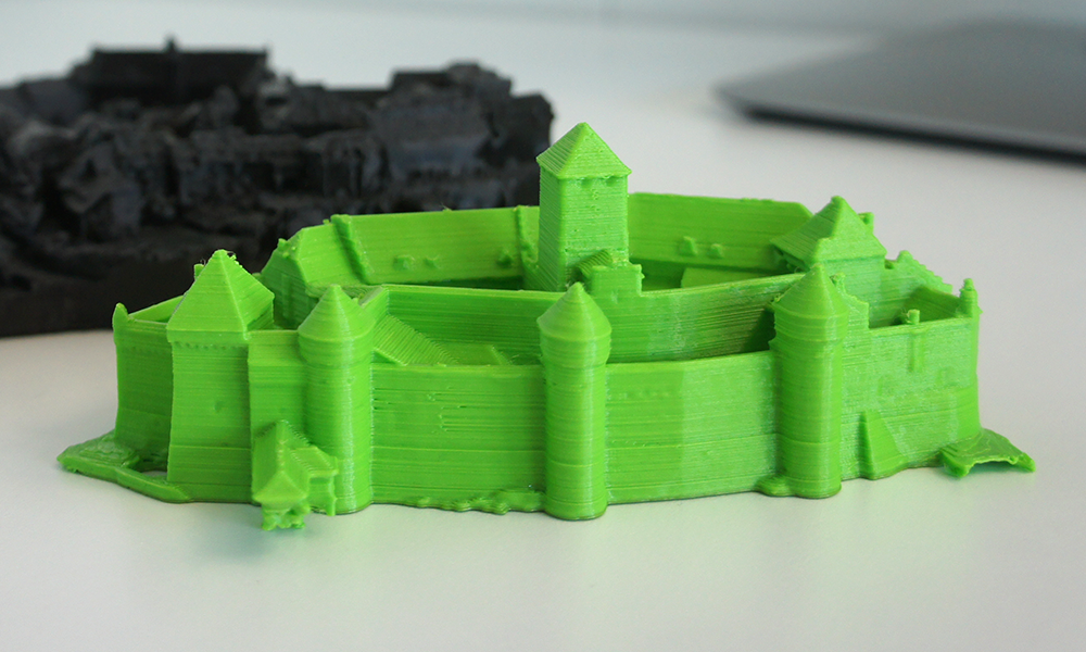
3D print your projects
You can 3D print your projects. With a 3D printed scale model, you can offer your clients a unique, physical way to discover a property, and allow them to hold it in the palm of their hands.
Using drone mapping in real estate

Five tips for marketing real estate to millennials
Millennials have come of age. To reach this generation, real estate marketers need to speak their language: technology.
A new era for landscaping and exterior design
A French start-up, Prodigo, uses PIX4Dmapper to create stunning exterior landscape designs without ever entering a clients' property.
Inspect a roof 10 times faster
Now, with just a drone and Pix4D software you can get an online measurable 3D model in minutes, pinpoint elements, measure distances, calculate and share with anyone.
Learn how Pix4D software can help you