
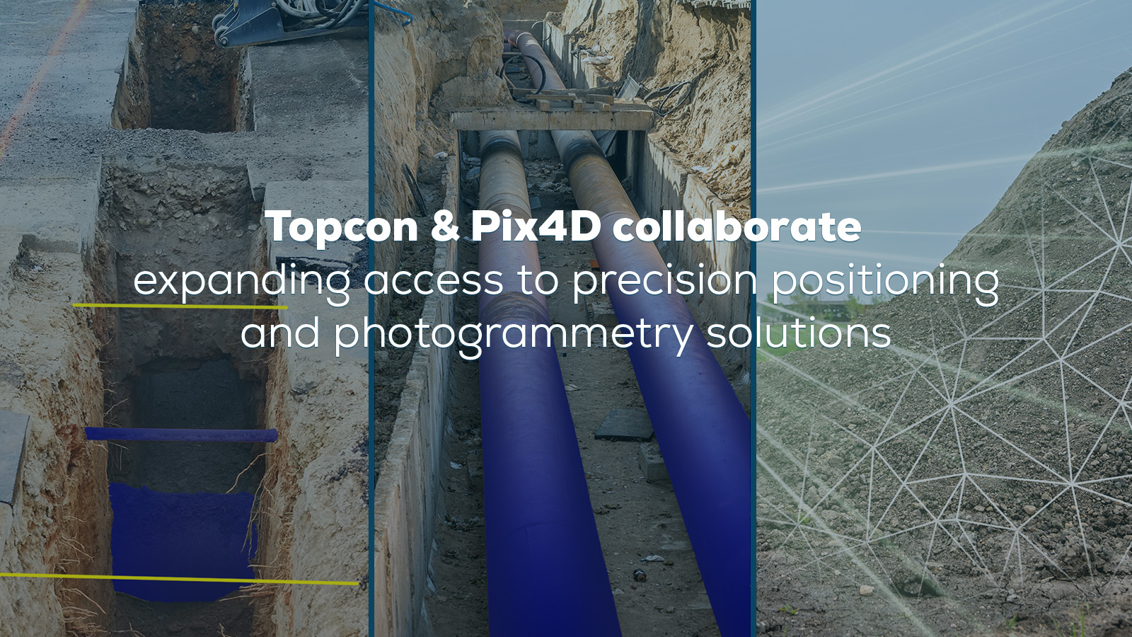
Topcon and Pix4D partner to advance geospatial solutions
Topcon and Pix4D partner to expand access to precision positioning and photogrammetry solutions for surveying, construction, and more.
Read more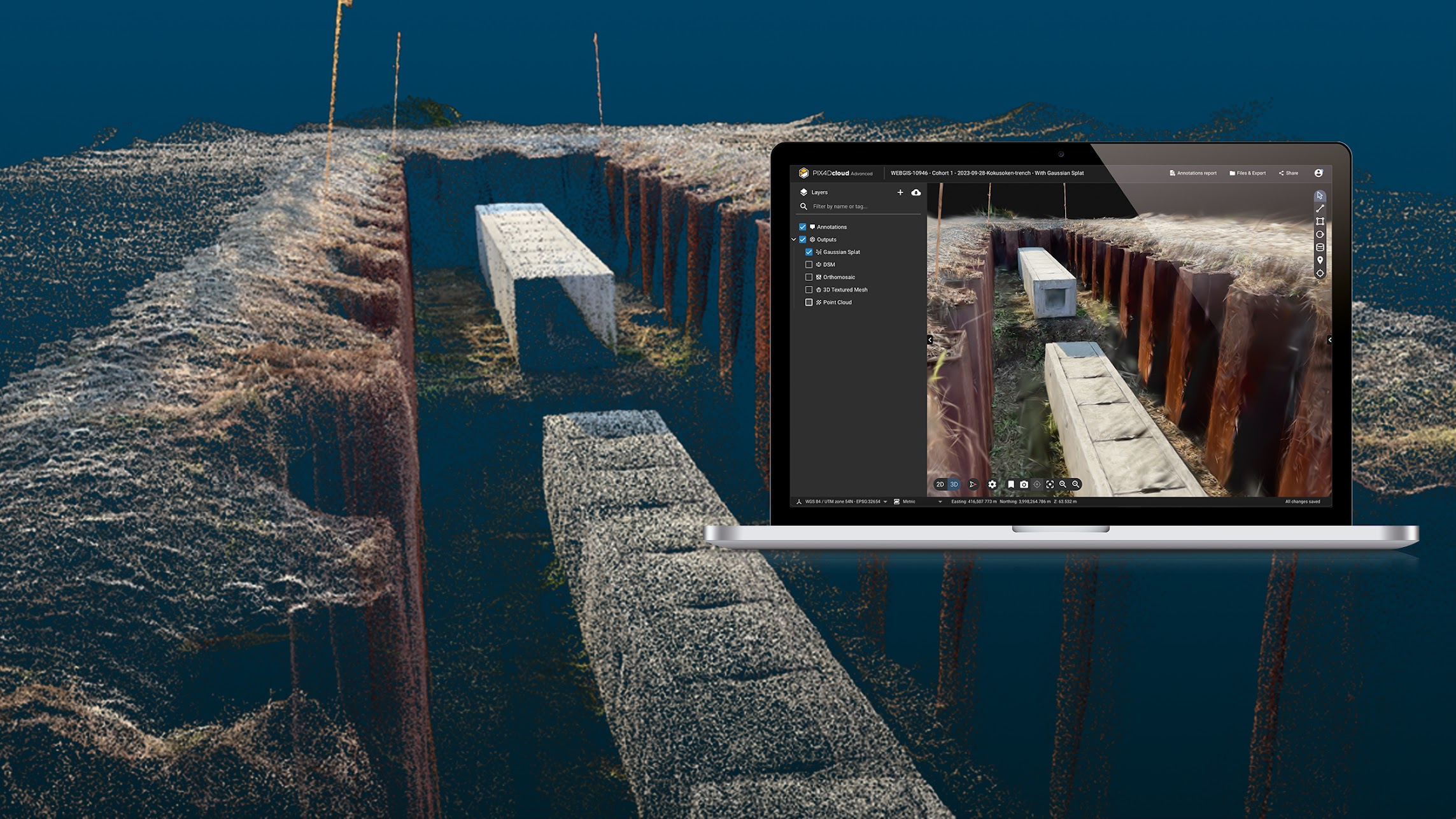
Gaussian splatting at Pix4D: a new era of 3D visualization
You can now turn your PIX4Dcatch captures into highly detailed 3D models with Gaussian splatting in PIX4Dcloud.
Read more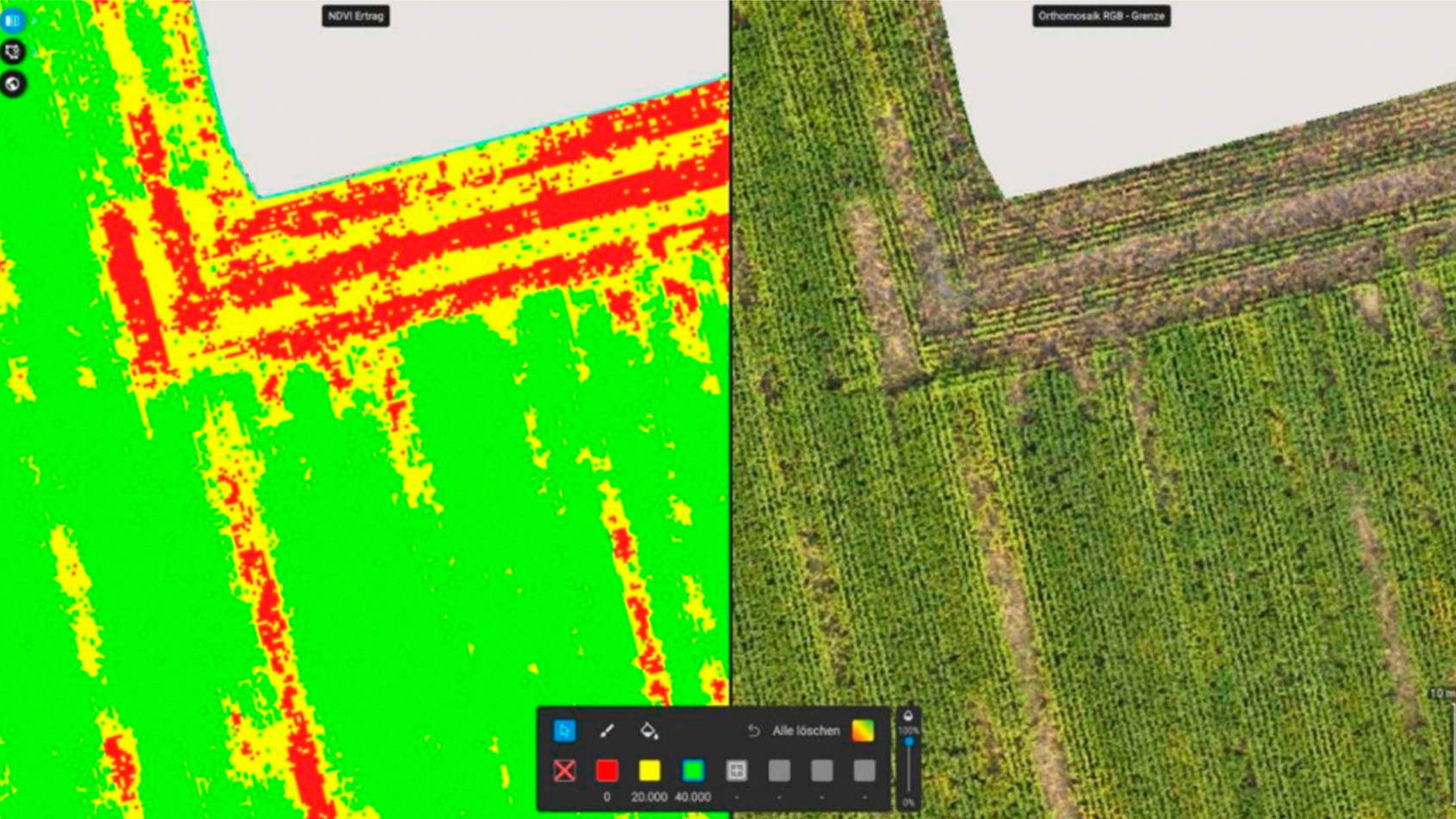
Wildlife damage assessment for crop insurance
Wild boar damage on corn was quickly and accurately assessed before harvest with PIX4Dfields, helping a farmer with crop insurance claims.
Read moreTopcon and Pix4D partner to advance geospatial solutions
Topcon and Pix4D partner to expand access to precision positioning and photogrammetry solutions for surveying, construction, and more.
Gaussian splatting at Pix4D: a new era of 3D visualization
You can now turn your PIX4Dcatch captures into highly detailed 3D models with Gaussian splatting in PIX4Dcloud.
Wildlife damage assessment for crop insurance
Wild boar damage on corn was quickly and accurately assessed before harvest with PIX4Dfields, helping a farmer with crop insurance claims.
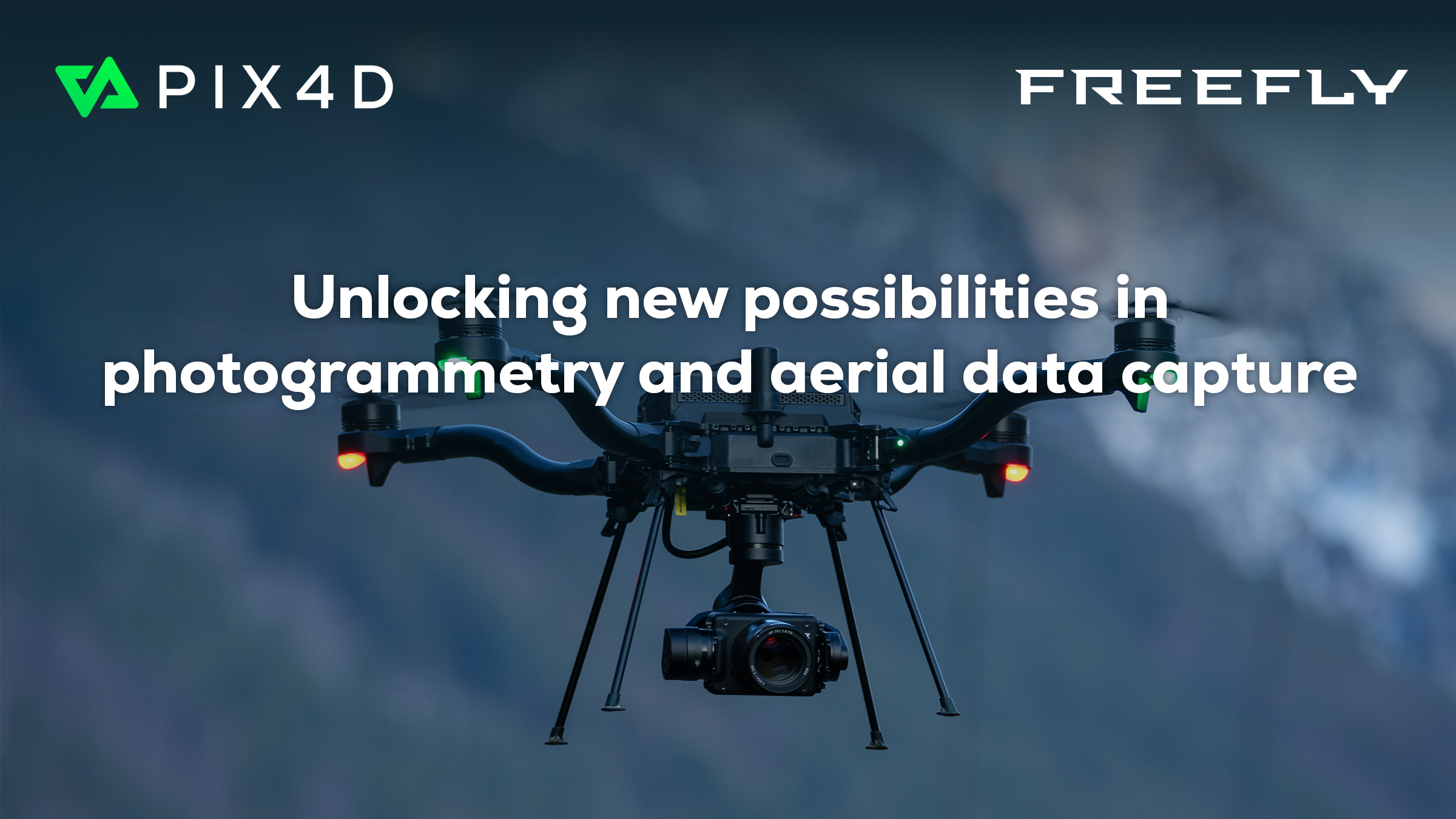
Pix4D and Freefly Systems to deliver drone-to-data workflow
Pix4D partners with Freefly Systems to offer a 1-year license for PIX4Dmatic & PIX4Dsurvey, PIX4Dcloud, or PIX4Dfields with select drones.
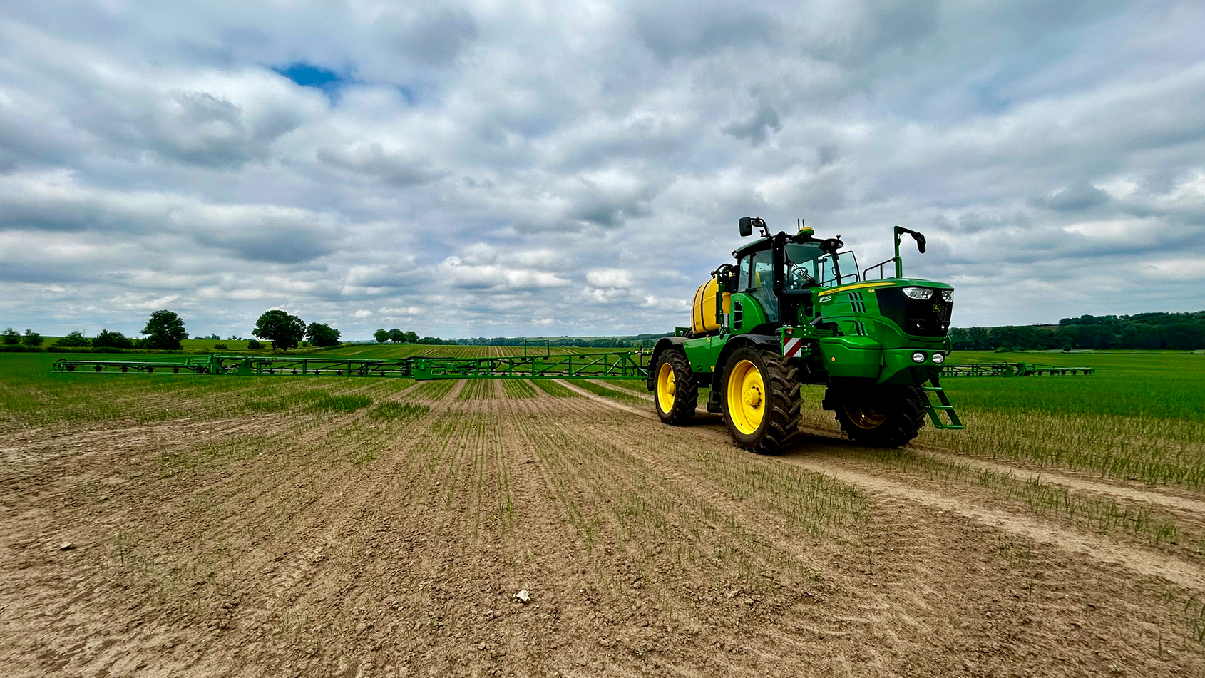
Targeted weed control with John Deere
How PIX4Dfields and a John Deere sprayer achieved 75% herbicide savings in an onion field in one day.

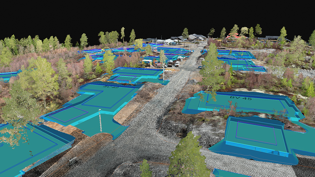
Precise site documentation using PIX4Dcatch with RTK
In our interview, a surveyor shares his survey workflow. He used 3D scanning with PIX4Dcatch to cut his work time in half.
Design verification: compare as-built to as-designed
Compare design with reality during construction using digital tools. Use DXF & IFC files in PIX4Dcloud to match design with real-world data.
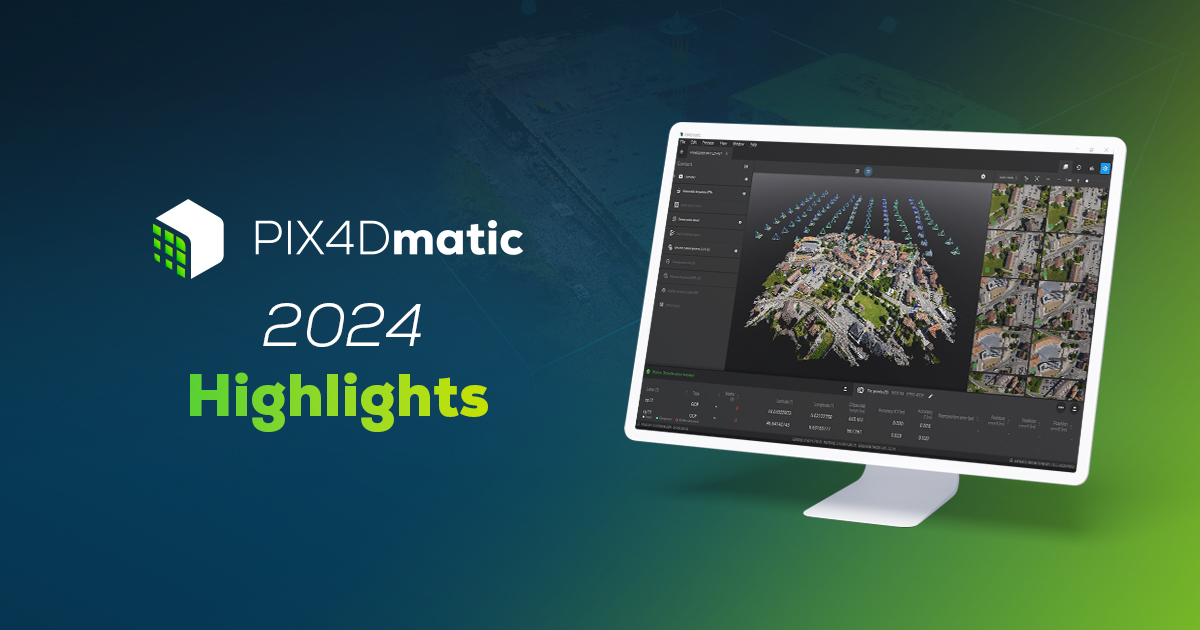
PIX4Dmatic 2024 Highlights
We made exciting strides with PIX4Dmatic in 2024, adding new features like Section Views and Volume Computation. See what else we achieved!
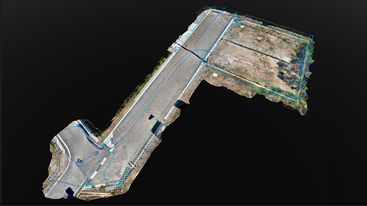
Surveyors achieve over 75% efficiency gains with Pix4D
Read our interview to learn how surveyors are using PIX4Dcatch to streamline workflows and boost cost efficiency.
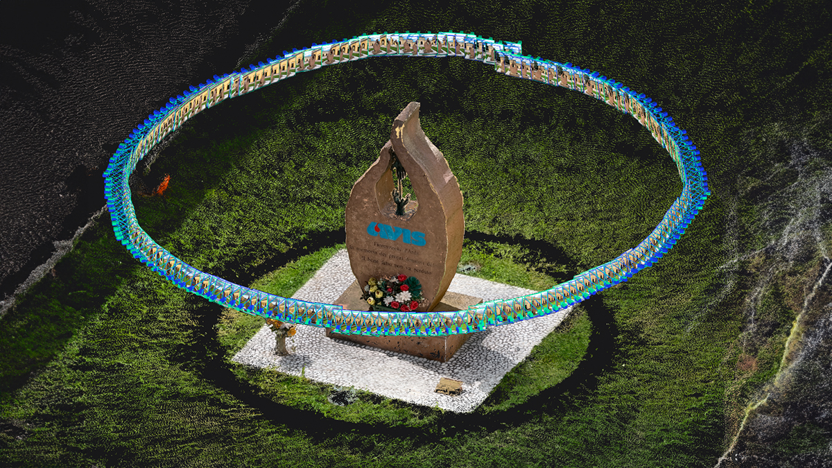
Digital tools for cultural heritage preservation
Bringing history to life: PIX4Dcatch creates detailed 3D maps of Piacenza's iconic landmarks.
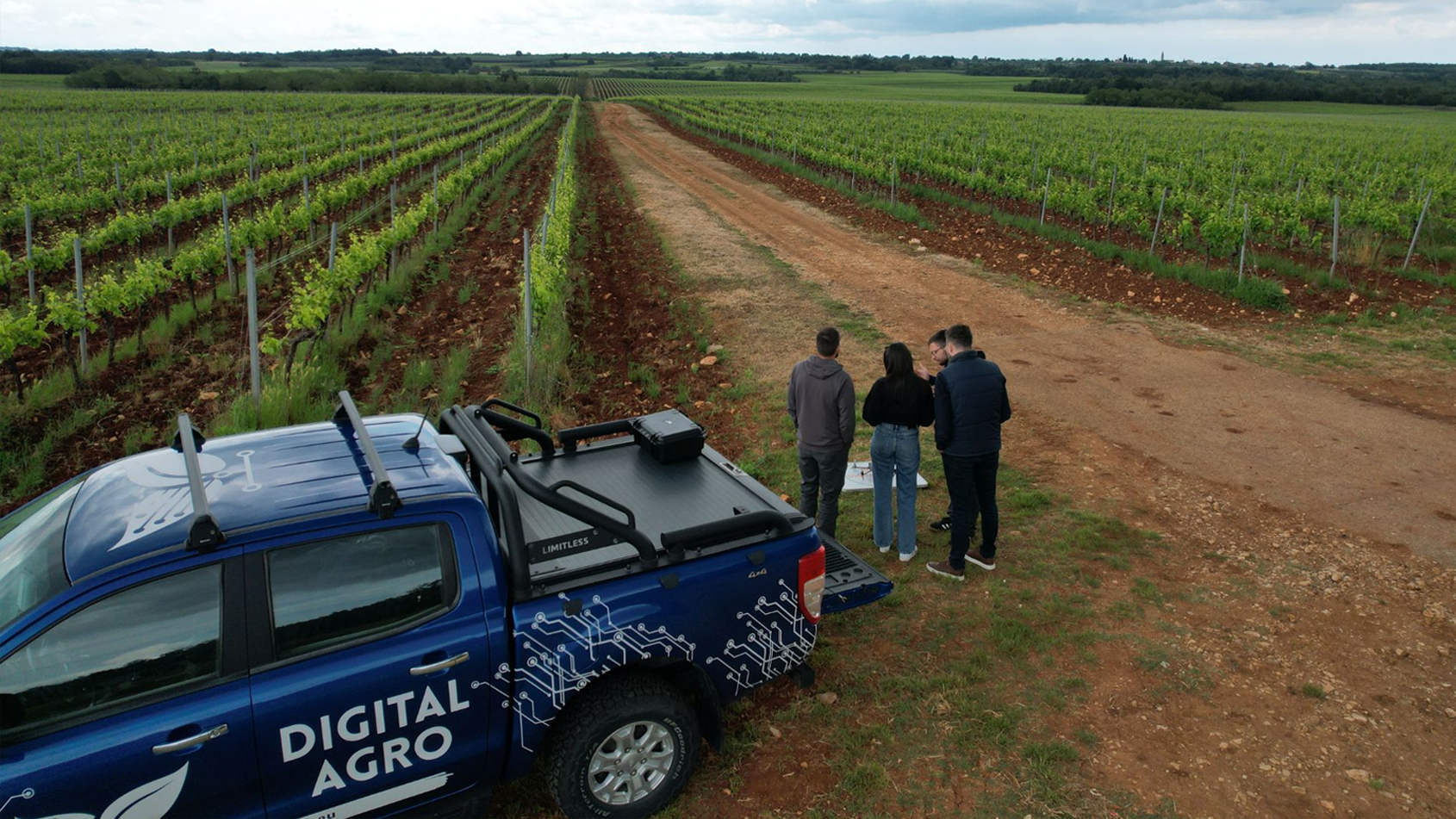
Why precision agriculture is a game-changer for winemakers
Agrigentum - Digital Agro and Agrolaguna used PIX4Dfields to monitor vineyards, succeeding in optimal grape harvest and resource management.
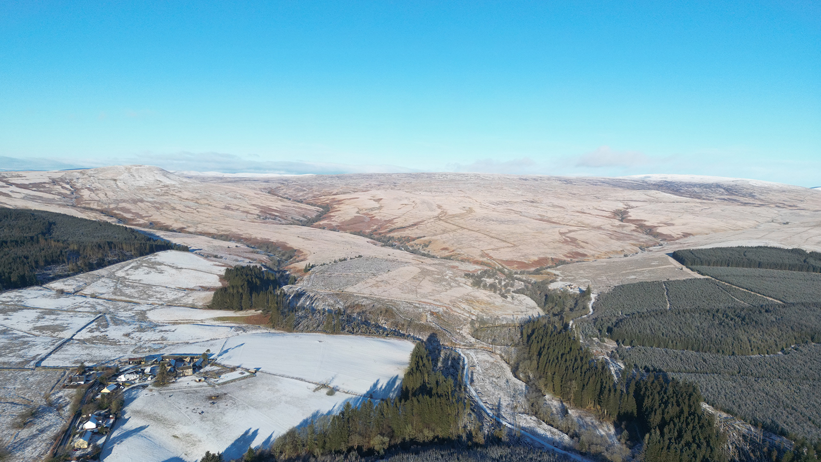
Large scale mapping survey with drones and PIX4Dmatic
PIX4Dmatic provided detailed high-resolution maps for a 5,000-hectare conservation estate, which are essential for land management.