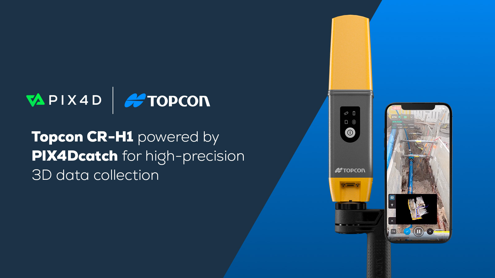
Topcon and Pix4D partner to advance geospatial solutions
Topcon Positioning Systems and Pix4D have announced a strategic partnership to bring together their expertise in geopositioning and photogrammetry. As part of this agreement, Topcon will become an authorized distributor of Pix4D’s photogrammetry software, giving customers greater access to high-precision positioning and advanced 3D mapping technologies.
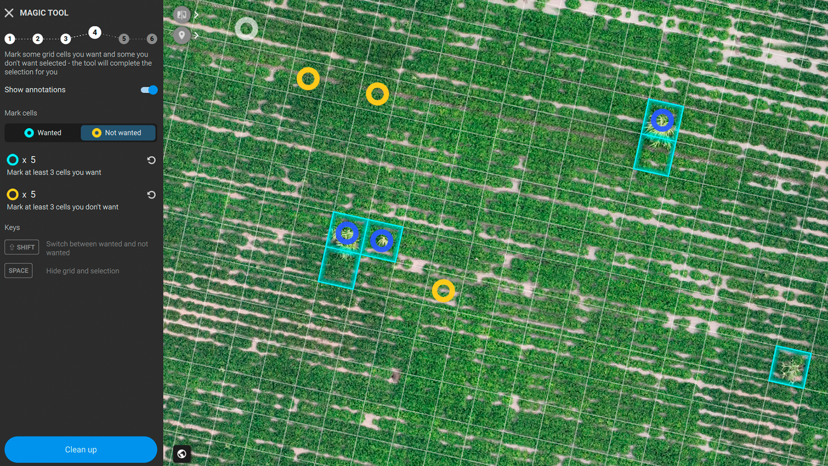
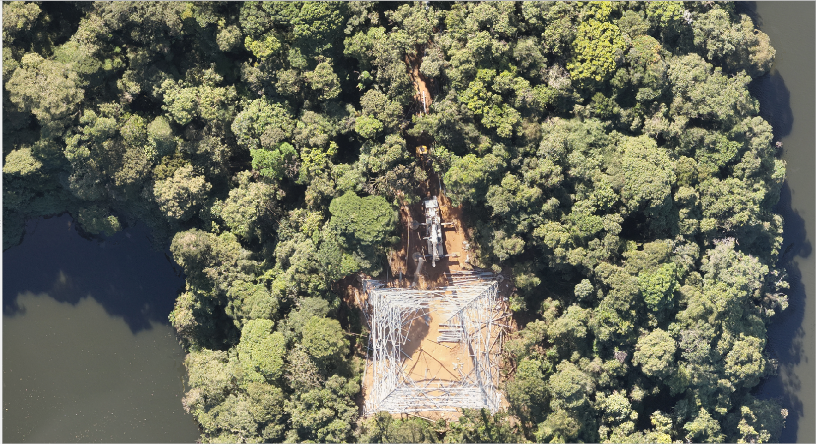
This collaboration enhances reality capture solutions across industries, benefiting surveying and mapping, AEC (architecture, engineering, and construction), energy, utilities, public safety, and forensics.
“The integration of Topcon’s precision positioning technology with Pix4D’s photogrammetry expertise is another great example of the type of collaboration the geospatial industry has always thrived on. This will provide professionals with seamless access to industry-leading solutions that combine our complementary technologies." - Murray Lodge, executive vice president, Topcon Positioning Systems
Through this agreement, customers will be able to access Pix4D’s advanced photogrammetry solutions directly through Topcon’s established global distribution network. This streamlines the procurement process while ensuring users receive comprehensive technical support.
“The agreement on close collaboration with Topcon marks an important milestone in Pix4D's growth strategy. A combination of precision positioning technology from Topcon and advanced photogrammetry and GeoFusion algorithms from Pix4D creates a powerful set of solutions for professionals in the utilities, infrastructure, and horizontal construction markets globally." - Murray Lodge, executive vice president, Topcon Positioning Systems
Topcon Positioning Systems
Topcon, headquartered in Livermore, California, U.S., is an industry-leading designer, manufacturer and distributor of precision measurement and workflow solutions for the global construction, geospatial and agriculture markets.