Joint LiDAR and photogrammetry workflow for 3D bridge model
Maintaining bridges can be a complex challenge. Prior to any work being done, a bridge inspection must be completed to plan work beforehand. This can be done with manual drawings or individual inspections by specialized teams. However, hand-drawn sketches or photos may not provide comprehensive information or miss small details. Creating a digital twin of a bridge solves this problem, as the digital twin is an exact replica of reality that can be shared between engineers, project planners, and construction teams. Using specialized photogrammetry and LiDAR software and hardware can make this process more accurate, safe, and faster. Modern bridge inspections rely on cutting-edge surveying technology to save time and money.
Atay, a Pix4D premium partner in Turkey, used Pix4D software paired with RTK technology to assess the old stone bridge to see if it needed any maintenance work. This took place in Ankara, where there are city-wide efforts to preserve cultural heritage and history. This particular bridge is old enough that it is listed under a historic preservation category and as a result, is in particular need of careful inspection and restoration work.
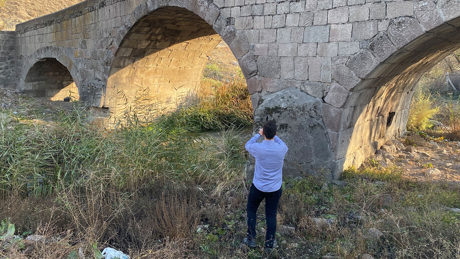
Project details
| Location | Ankara, Turkey |
| User | Atay |
| Software | PIX4Dcatch PIX4Dmatic PIX4Dsurvey |
| Hardware | RTK rover iPhone 12 Pro |
| Images captured | 1701 990 869 |
| Processing time | 3 hours |
| GSD | 0.2cm |
Using a handheld rover with RTK accuracy
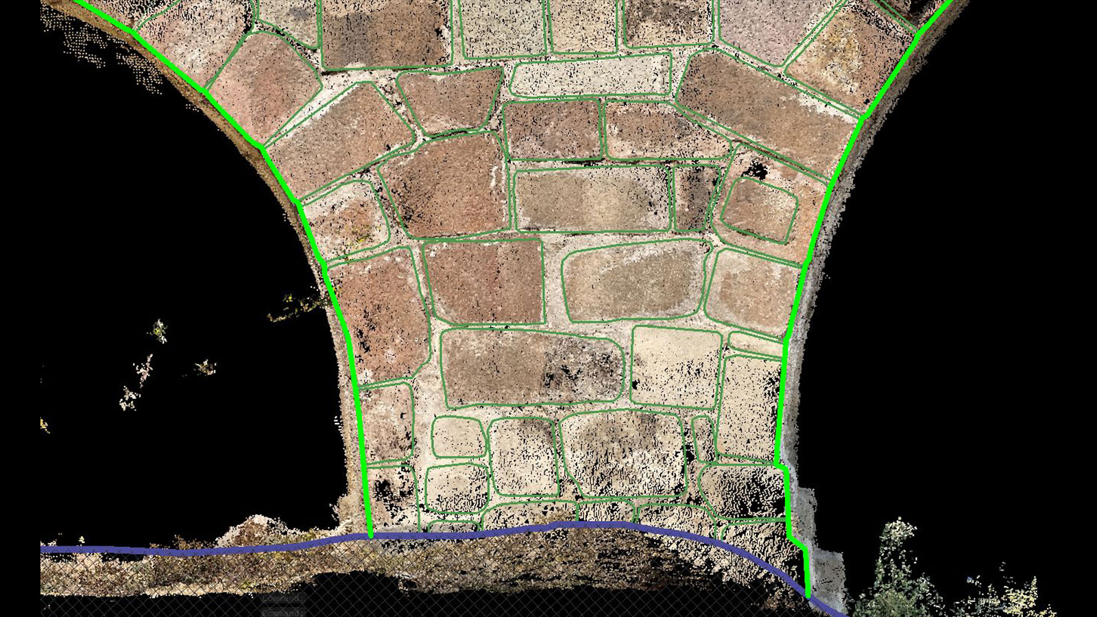
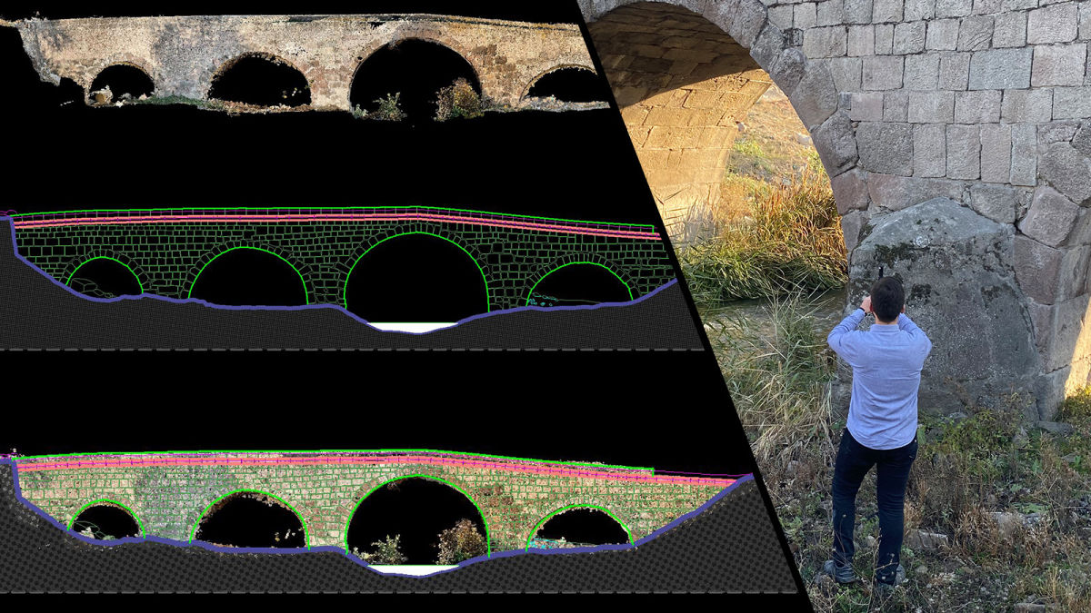
The Atay team went out with the intention of collecting data, processing it, and vectorizing it so it could be used for CAD or further project planning efforts. The success of this workflow would be demonstrated with the accuracy of the final outputs.
Terrestrial data collection with Pix4D
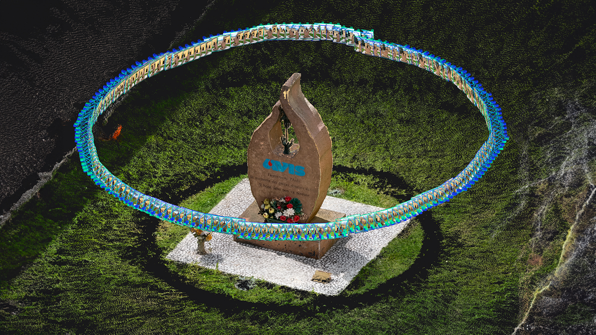
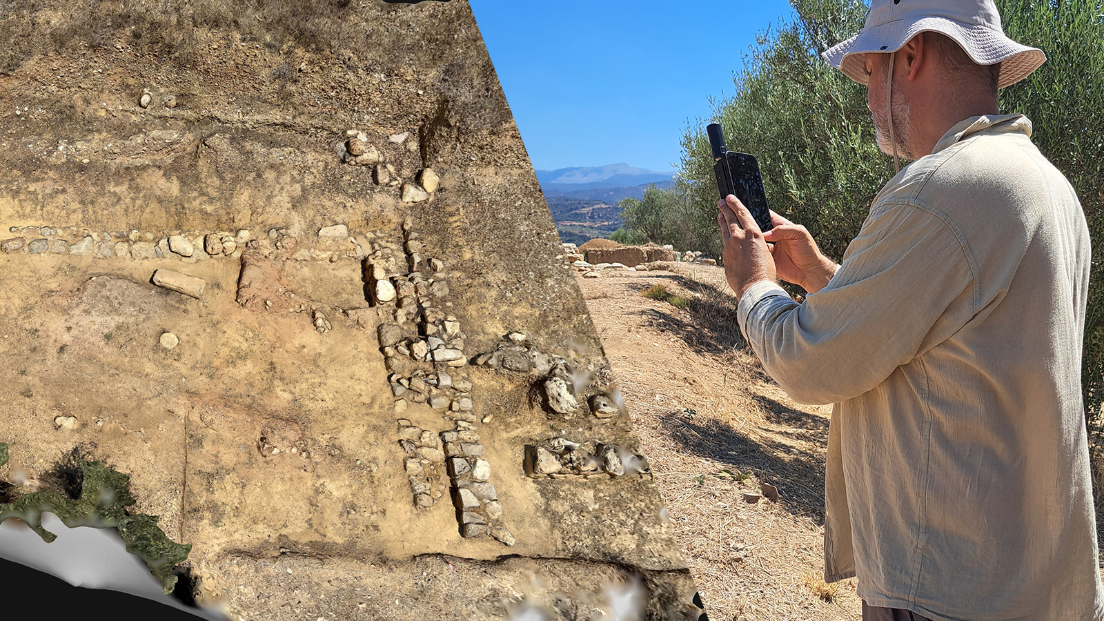
Atay planned three data collection paths in order to capture the entirety of the bridge: both the sides of the bridge from the ground and one going over the top of it. When they could not reach higher parts of the bridge for data collection with their hands, they attached the mobile device to a surveying rod to scan the upper sides of the bridge. This ensured complete data collection without any gaps in the final output. Overall, data collection took just 45 minutes.
Once the data was collected with PIX4Dcatch, the surveyor transferred the data to PIX4Dmatic, the desktop photogrammetry software. PIX4Dmatic is a powerful product that can handle both large scale projects from corridor flights by drones as well as terrestrial surveying with PIX4Dcatch. As PIX4Dcatch collects both LiDAR and photogrammetry data, it has a variety of imagery and information available for processing. PIX4Dmatic has specially designed features to handle this workflow with PIX4Dcatch, and provides users with the option to create photogrammetry point clouds, LiDAR point clouds, or a combined one with both datasets in it (also known as dense, depth, and fused point clouds). It also has noise and sky filtering options to ensure a tidy point cloud with minimal disruption. This saves time on editing the point cloud after processing.
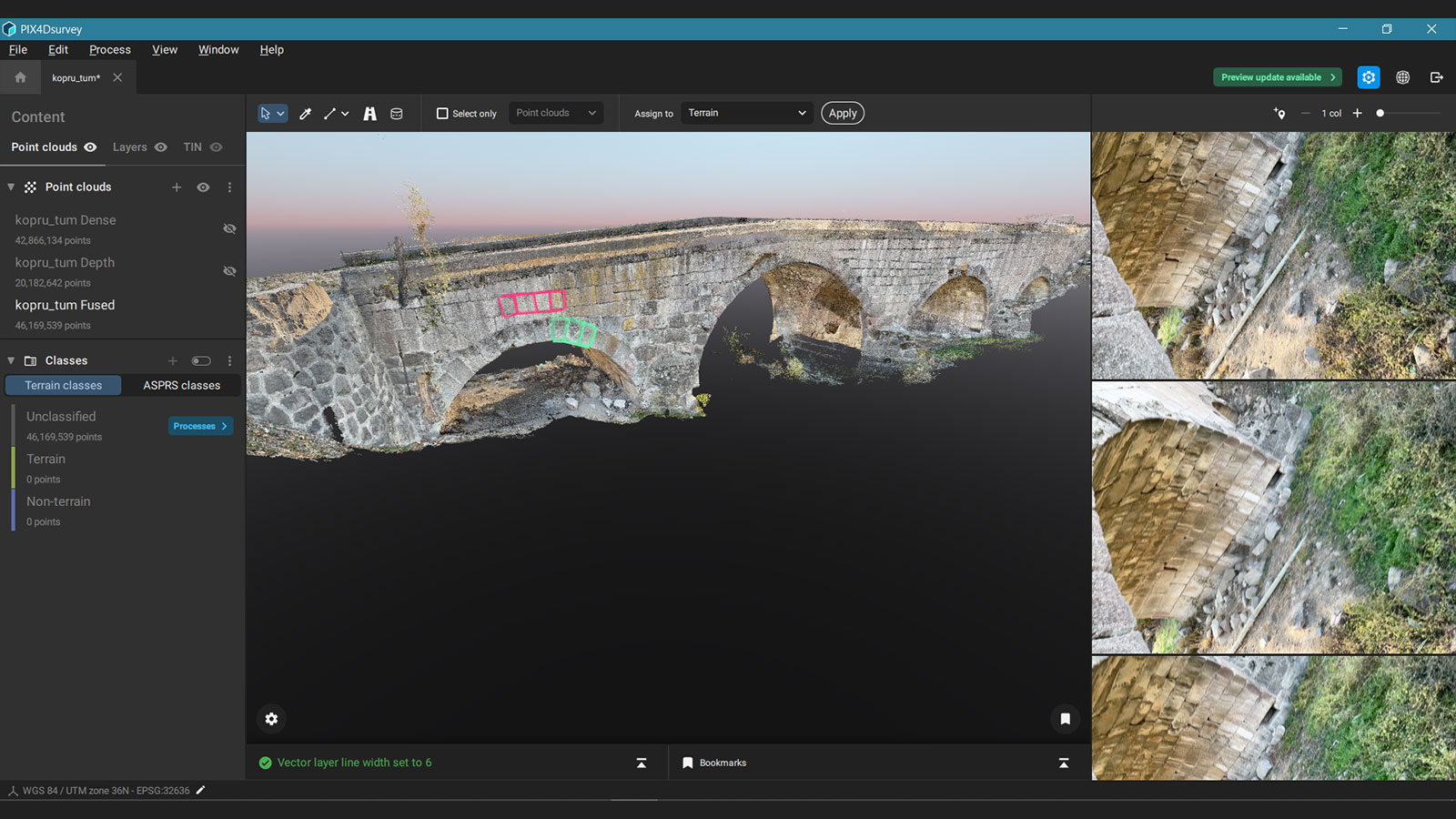
Processing took less than 3 hours, after which the point cloud was exported to PIX4Dsurvey. This software vectorizes point clouds - including automated features such as automatic road marking or identifying of elements like manhole covers. PIX4Dsurvey enables users to move from processing and analysis to design elements as it extracts data for use in CAD, filling in the missing gap between photogrammetry and CAD. It can handle large point clouds with billions of points that can be LiDAR or photogrammetry, which makes it ideal for the final step of this process.
Preserving cultural heritage with photogrammetry
Atay successfully created a 3D model of the bridge that can be measured and analyzed for inspection and restoration efforts. The entire process of traveling to the site, collecting data, and processing took around 4 hours and 15 minutes, showcasing the speed and efficiency of this software. The accuracy and detail of the project were demonstrated with the seamless processing and the GSD of just 0.2 cm. The high level of detail is possible because using a smartphone with PIX4Dcatch is far closer than typical drone flights, enabling accurate terrestrial scanning with mobile devices. It is a growing application for using photogrammetry in public works like bridge maintenance and pipelaying. The final point cloud that was generated needed no further editing thanks to the sky filtering tool in PIX4Dmatic, and was easily exported to PIX4Dsurvey thanks to the designated workflow for moving between the software systems.
“I didn’t need to use any other software for processing. PIX4Dmatic automatically identifies project data and uses depth maps from PIX4Dcatch which provides very useful outputs.” - Yiğit Yüksel, Geomatics engineer, Atay
This project is important as part of ongoing restorations across Ankara and preserving cultural heritage with modern technology. Thanks to the native workflow between both hardware and software, the entire process was straightforward and efficient. Atay has an actionable 3D model and point cloud that can be used for architectural analysis of the bridge which will plan how to preserve the bridge for use and admiration by future generations.
