
ON-DEMAND WEBINAR
Technical advancements in surveying: precision and productivity.
About the webinar
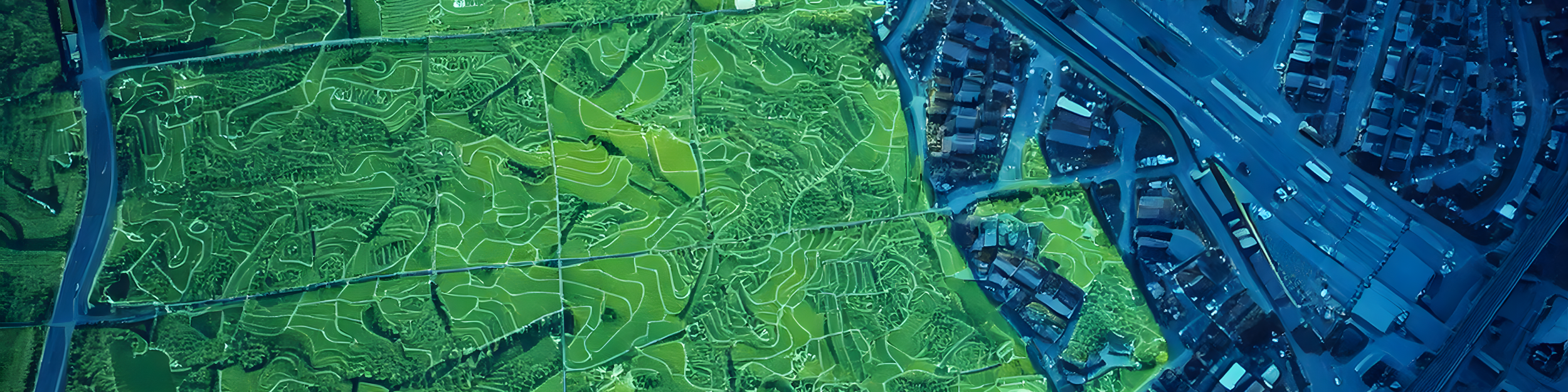
Explore the latest technical advancements in aerial surveying with Pix4D, Phase One, and Quantum Systems. In this webinar, we’ll showcase two real-world scenarios that demonstrate how survey-grade accuracy can be achieved alongside streamlined, efficient workflows.
Discover how the Quantum Systems Trinity Pro VTOL drone, equipped with a Phase One high-resolution P5 camera (with 35mm or 80mm lenses) and processed using PIX4Dmatic photogrammetry software, delivers exceptional results. Learn how this powerful combination simplifies data collection and processing while ensuring precision and productivity for your projects.
Panelists:

Manager of Geospatial Desktop
Pix4D

Regional Sales manager
Pix4D

Director of strategic partnership
Pix4D