WEBINAR
Agriculture drone mapping and analytics

About the webinar
Since the introduction of consumer drones in 2011, drone technology has made significant progress in terms of reliability, efficiency, and price. Drones have evolved from toys to tools for professionals in many different industries. In agriculture, drone-based remote sensing technology is a convenient, cost-efficient way to gain a complete and in-depth understanding of your fields.
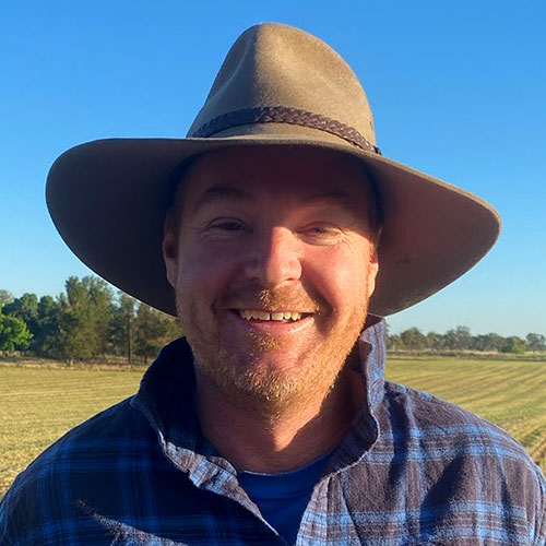
In this webinar, we teamed up with Australian-based professionals, Mark Steggall and Dwane O’Loughlin, to chat about their experiences with drone mapping in agriculture. By showcasing multiple projects, we highlight the extent of the benefits that come from using precision agricultural techniques: everything from drone data collection to advanced crop visualization.
Topics covered:
- Precision agriculture trends in Australia
- How drone mapping helps with irrigated farming
- How drone mapping helps with high value crops
- How drone mapping helps with regenerative farming
- Your questions in the Q&A session
Useful information
The webinar is one hour long, including the Q&A session.
Panelists:

Jorge Fernandez
Head of product
Pix4D

Mark Steggall
Director
Stegg Civil - Aerial Mapping & GPS Machine control

Dwane O’Loughlin
Farm Manager and Managing Director
O’Loughlin Excavations