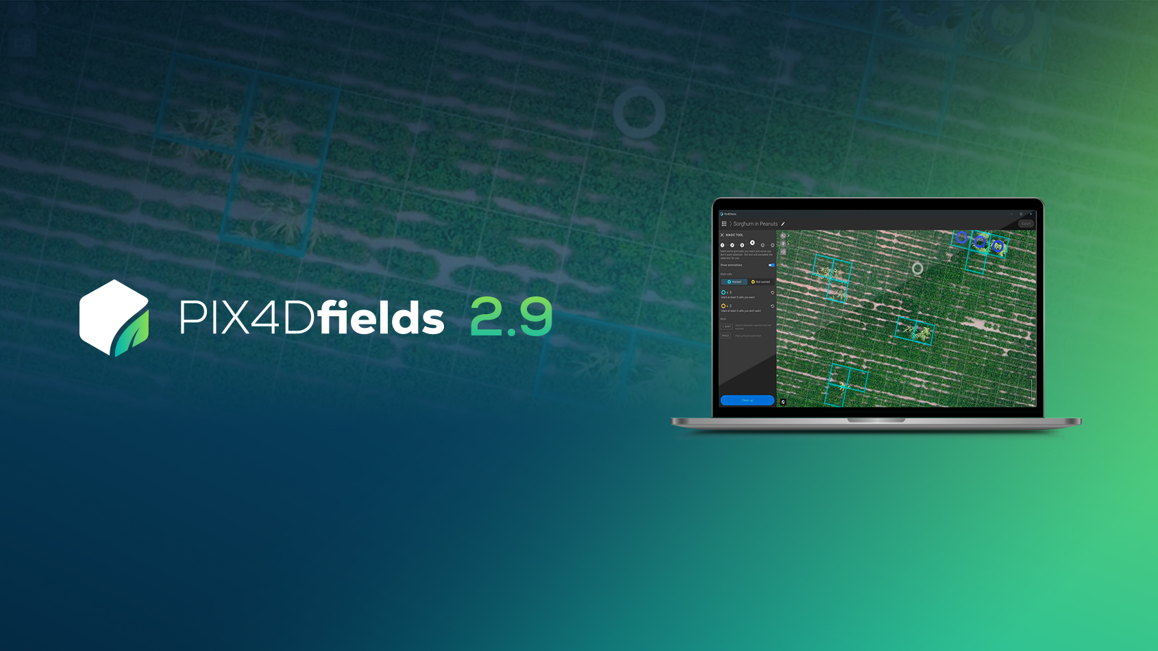
Pix4Dfields - drone mapping software for agriculture
We worked with farmers, agronomists and breeders to shape Pix4Dfields. Over the past two months, a select group of beta testers has used the product all over the world. Their feedback not only demonstrates that Pix4Dfields values real-world situations, but has also set the pace for new features you can expect to see in the coming months.
Today, we are happy to announce that Pix4Dfields is now commercially available and open for everyone on both macOS and Windows.
Why you should consider Pix4Dfields for your agriculture workflow
- This product is developed with input from farmers, agronomists and breeders, meaning Pix4Dfields focuses on what matters when it comes to agriculture fields of application.
- Pix4Dfields is equipped with our instant results processing engine that provides accurate results faster than before.
- The software has an easy-to-use interface with tools tailored to agricultural workflows.
- Pix4Dfields allows you to produce results efficiently and rapidly in the field, while performing more detailed analysis in the office.
- The built-in analysis tools allow you to produce accurate and repeatable measurements of crop health.
This product will continue to grow and evolve rapidly. Pix4Dfields was designed with input from the agricultural industry, and so will continue to evolve with the feedback from our users.
Pix4Dfields is now available for both macOS and Windows and supports RGB, Parrot Sequoia and MicaSense RedEdge cameras.


