Precision mapping: Pix4D and coordinate reference systems
Pix4D has a dedicated team for coordinate reference systems. This is because they are vast, complicated, and integral to our software. The specialized team responsible is our SRS, or Spatial Reference Systems team.
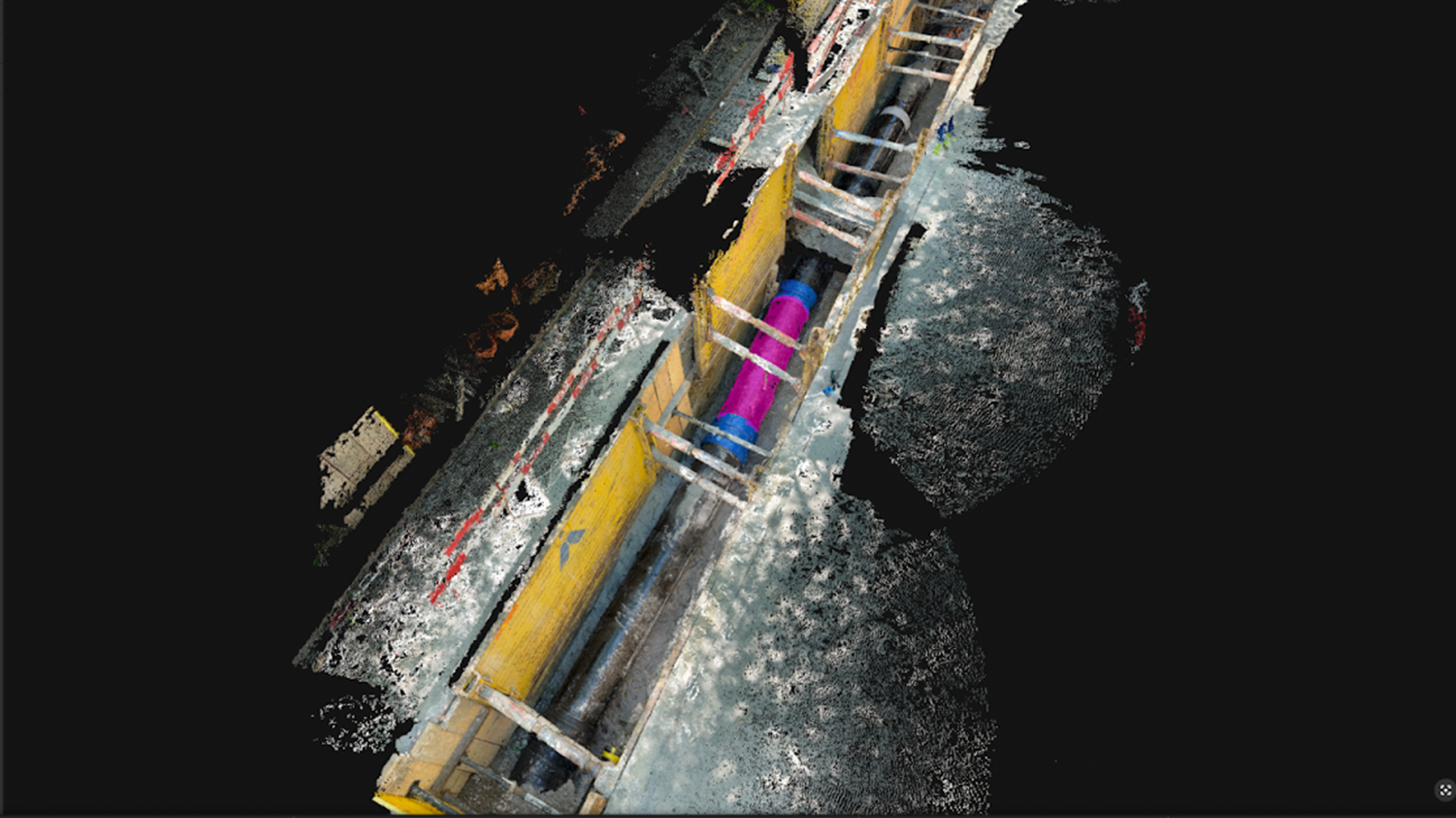
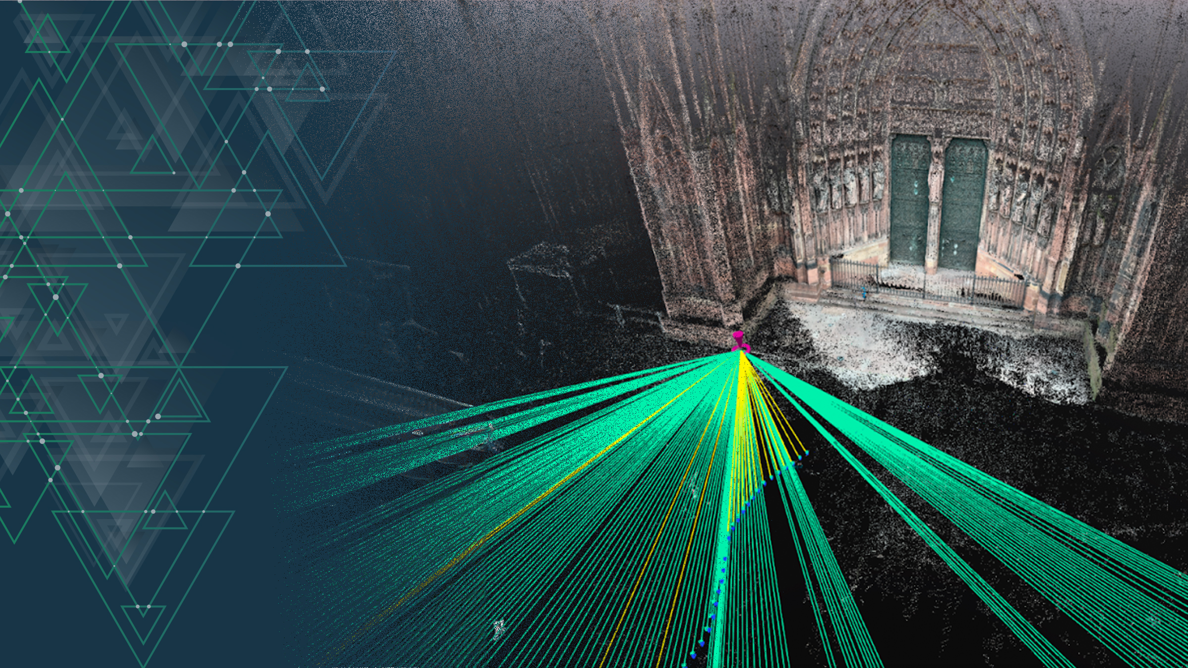
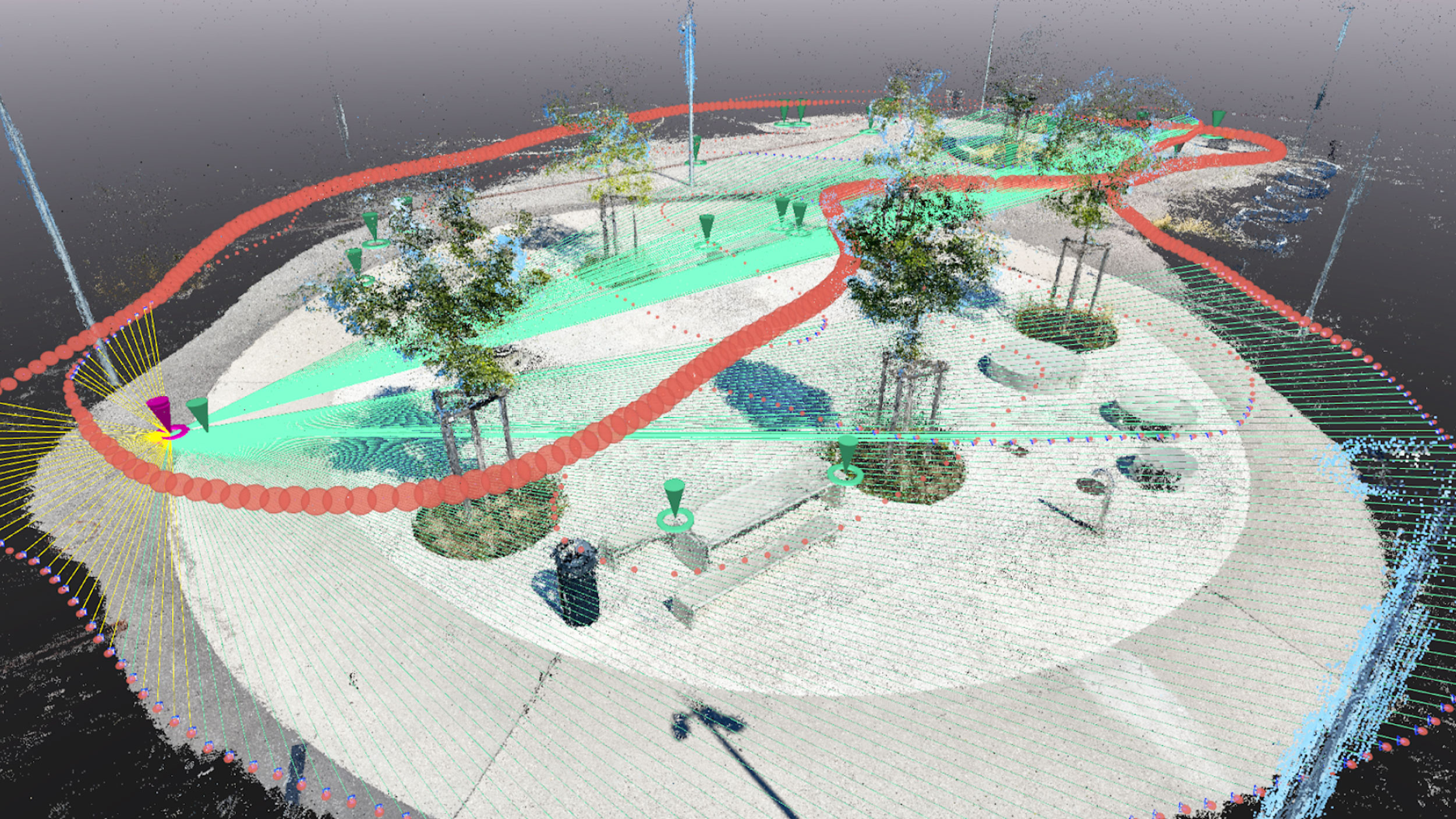
As a photogrammetry software company, we facilitate the digitization of reality into measurable images—all of our products produce or use geo-referenced data. Some examples of this are:
- Geolocated images from a drone and/or phone
- Point clouds
- Orthomosaics
- Ground control points (GCPs)
Understanding coordinate reference systems is crucial for accurate positioning, height determination, and enabling precise location data in various applications.
Pix4D also supports the broader geospatial community—one of our software engineers, Javier Jimenez Shaw, serves as a contributor and member of the PSC (project steering committee) in the open-source PROJ project. PROJ is a generic coordinate transformation software that transforms geospatial coordinates from one coordinate reference system to another; it is used worldwide!
The complexity of coordinate reference systems: why are there so many?
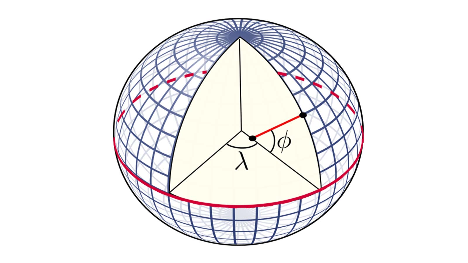
Coordinate reference systems are essential for positioning ourselves on the Earth's surface. Coordinates associated with a coordinate reference system describe precise horizontal and/or vertical locations within the definition of the system. The same point on Earth will have different coordinates depending on the coordinate reference system used to locate it.
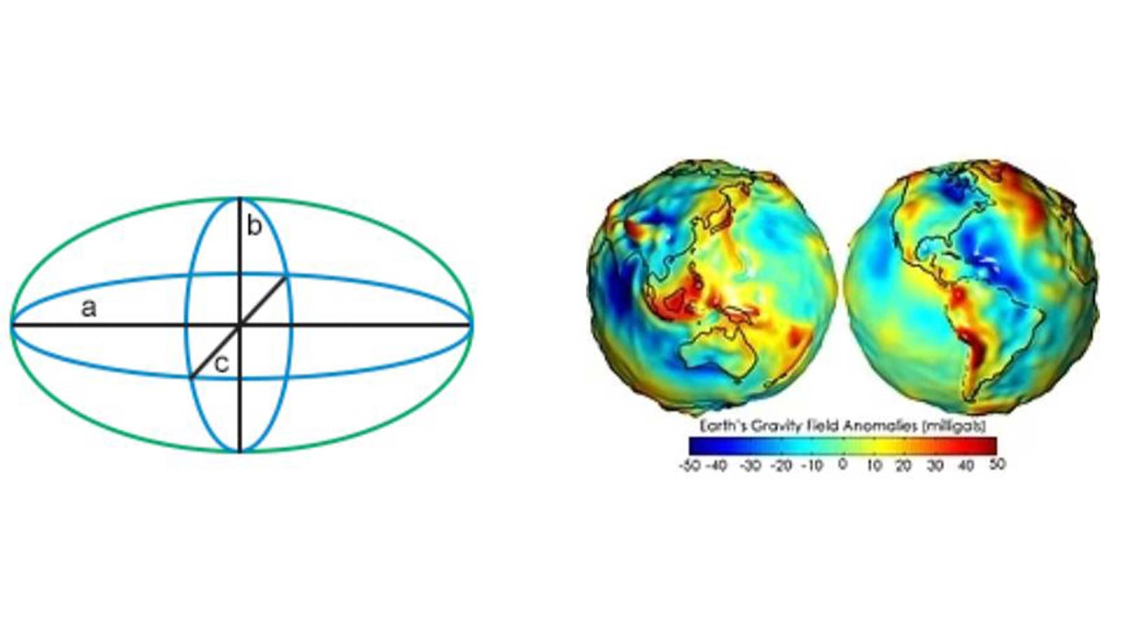
There are many different alternatives for representing the shape of the Earth. There are also many ways of laying out a coordinate system in a given representation. The abundance of choices gives raise to a myriad of coordinate reference systems of different classes: horizontal (including geographic and projected systems), vertical, compound, and many others.
At the heart of the definition of a horizontal coordinate reference system lies an approximation of the shape of the Earth as an ellipsoid. Different national geodetic institutes choose different mathematical representations of the ellipsoid as well as how this ellipsoid is locked on their coordinate reference systems.

It is impossible to show a spherical surface on a flat plane (like a map) without distortion, yet we still need to choose a type of projection. Projections vary to suit different mapping needs; there are plenty of projections and what they all have in common is that one metric has to be sacrificed (such as simplicity, accuracy, or conformity). For Pix4D users, given the scale of their projects and the nature of photogrammetry, conformal projections are the most commonly used, like Lambert Conformal Conic or Transverse Mercator.
Geoid models
Vertical systems are commonly defined as heights above some local mean sea level (MSL) reference. Computing the elevation concerning the MSL from a satellite constellation's signal requires a gravimetric model. That’s because gravity is not constant along the earth, producing differences up to 100 meters. Each country adapts a gravimetric model to the MSL reference used in their systems, resulting in the different so called geoid models.
All these variations around ellipsoids, projections, MSL references, and the units used for coordinates lead to the multitude of coordinate reference systems we have today. The most common catalog in the industry is the EPSG Geodetic Parameter Dataset (or the EPSG registry). This public registry contains thousands of coordinate reference system definitions identified by codes as well as plenty of transformations between systems.
Coordinate transformations
Since all of the products at Pix4D produce or use geo-referenced data, sometimes we need to transform coordinates from one reference system to another. A large part of the complexity around coordinate reference systems comes from these very transformations.
The transformation methods are defined by agencies such as swisstopo, Switzerland’s Federal Office of Topography, or NOAA, the National Oceanic and Atmospheric Administration in the USA. Earth science as a continuously evolving field sees new and ongoing measurement campaigns with increasingly precise systems, resulting in updated models of the earth’s surfaces. These authorities regularly update measurements to improve accuracy, which makes for an even more complicated landscape of various coordinate reference systems.
Pix4D and coordinate reference systems
At Pix4D we use our internal SRS library, based mainly on PROJ. This is used by most of our products including PIX4Dmatic, PIX4Dsurvey, PIX4Dengine, PIX4Dcloud, and PIX4Dcatch. With this internal library, we host the catalog of reference systems (with up-to-date versions of EPSG, ESRI, and others), transformations among coordinate reference systems, and methods for computing site localization or projection distortion.
We also keep grid and geoid model files to provide accurate horizontal and vertical transformations in the countries where it's available, the use of a few non-public geoid models is also facilitated.
The complexity and intricate nature of coordinate reference systems highlight their significance in Pix4D’s software. Our dedicated SRS team, coupled with open-source contributions to projects like PROJ, ensures our software remains at the forefront of accuracy and innovation within the geospatial community.
For more information on how to use coordinate reference systems in Pix4D, you can refer to the training videos on our YouTube channel.
Got questions, or want to get involved? Join the conversation on LinkedIn and follow our hashtag #Pix4DLabs