

PIX4Dfields: Helping Farmers Worldwide Save Money
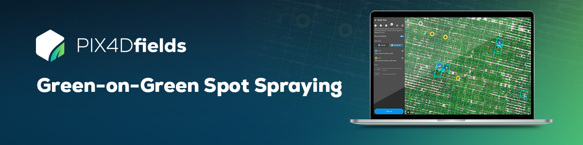
Discover how PIX4Dfields’ Targeted Operations can revolutionize your farm management and reduce costs. Download a free Green-on-Green use case dataset, see how you can instantly spot all weeds on the field with the Magic Tool and create a ready-to-use prescription map for a targeted herbicide application! Discover how easy it is to create a ready-to-use prescription with your machinery whilst knowing your exact input savings!
What’s included in the dataset?
This free dataset showcases a 32-hectare (79-acre) peanut crop field and includes:
- A 0.8 GB orthomosaic created using DJI Mavic 3E RGB images
- A ground sampling distance (GSD) of 1.8 cm/pixel
Ready to experience the power of precision agriculture? Try PIX4Dfields for free and explore the potential savings for yourself.
You can download and try PIX4Dfields for free here.
Learn how to use this dataset in our support article.