The evolution of precision agriculture
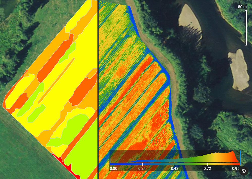
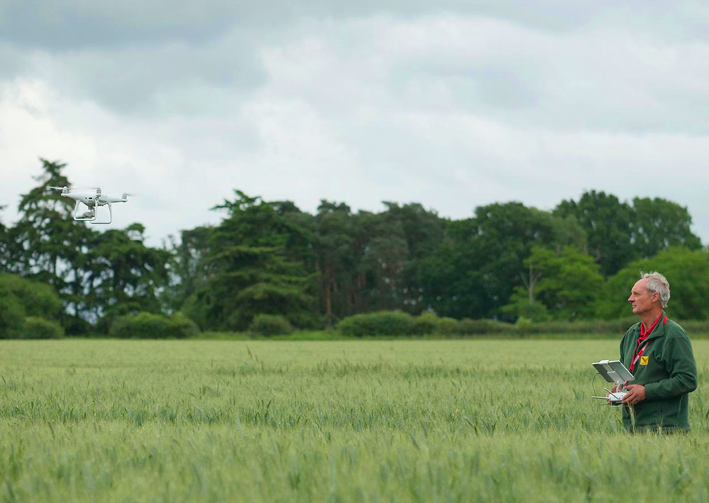
Since the introduction of consumer drones in 2011, drone technology has made significant progress in terms of reliability, efficiency, and price. Drones have evolved from toys to tools for professionals in many different industries. In agriculture, drone-based remote sensing technology is a convenient, cost-efficient way to gain a complete and in-depth understanding of your fields.
Variable rate applications help farmers to reduce the operational expenses for agrochemicals while optimizing the yield at the same time. Studies forecast the potential of up to 80% savings in precision agriculture compared to conventional production methods. Compared to Yara’s N-Sensor or satellite data, drones and software analytics tools are cost-effective, avoid soil compaction, and are under almost all weather conditions available.
Benefits of using Pix4D and drone mapping for farm management

A complete set of software tools for managing agricultural areas

Advanced agriculture mapping software for fast mapping and analysis in-office and in-field.
Learn more

Advanced photogrammetry software for measuring volume and creating 3D or digital surface models.
Learn moreExplore how is Pix4D software used in farm management worldwide
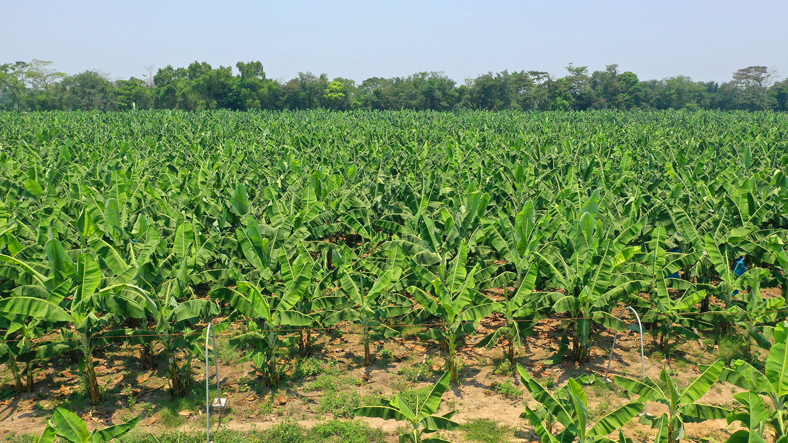
Bananas in Mexico
A Mexican drone company helped a banana farm increase their productivity by 30% using precision agriculture techniques and PIX4Dfields.
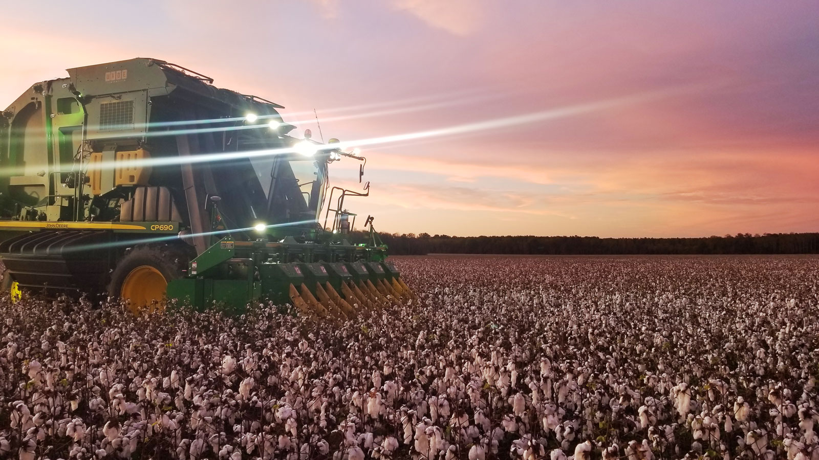
Cotton in the US
Mast Farms LLC is using Quantix Mapper and PIX4Dfields to create variable rates for Pix application on their cotton farm.
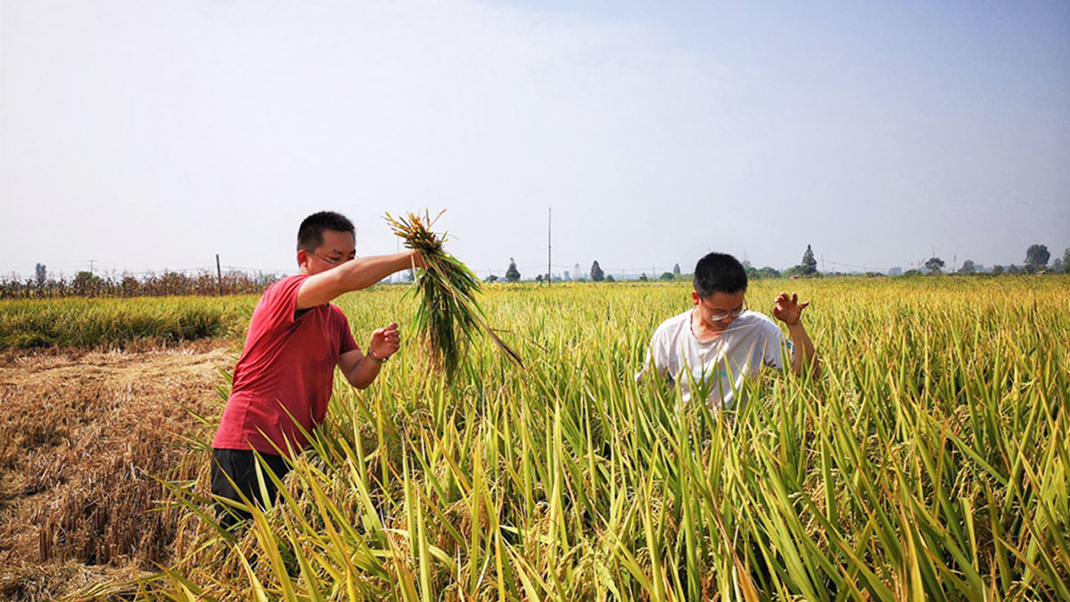
Rice in China
Hubei National Bureau of Statistics teamed up with Union Space to develop a rice yield estimation model using PIX4Dmapper.
Get started today
Explore how Pix4D is used for sustainability and agriculture research

