Hitting the slopes: how to survey a new ski resort
Here in Switzerland, we are getting excited about the start of the ski season! It adds to the Christmas feeling when you’re surrounded by fresh snow. Skiing is a popular sport here, and each resort has different exciting features. The speed and difficulty of the slopes (or pistes) are determined by their steepness, length, and how the snow settles on them. Managing a ski resort means that operators have to track and relocate vegetation, plan and install ski lifts, and ensure the entire space is accessible and safe. It’s not easy to do - especially when you start from scratch as in this use case.
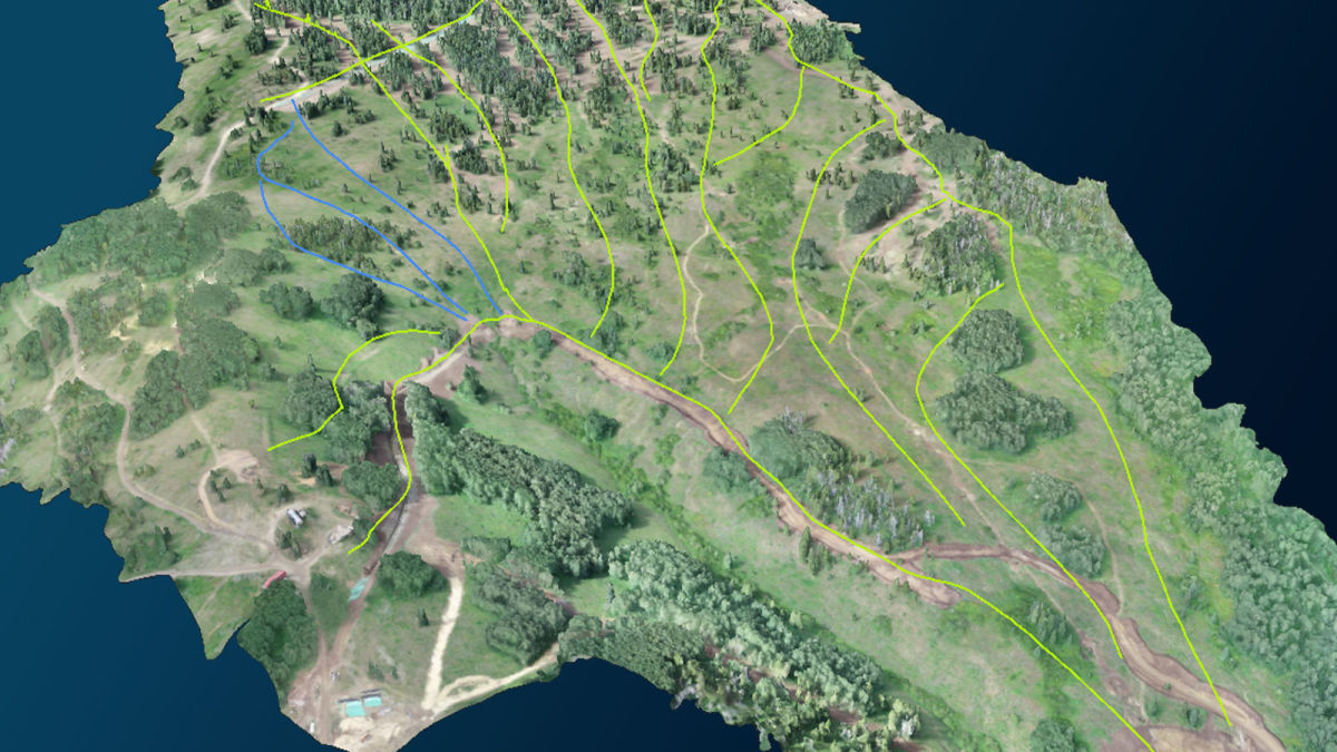
Colorado in the USA is famous for its brilliant ski resorts. In one area, a company was planning to build an entirely new resort. They were looking at an unused section of the Rocky Mountains that they wanted to turn into a resort. This presented two initial challenges: relocating the timber and strategizing the position of pistes. They needed to first assess the quantity of forest they would be digging up and moving to new positions around the mountain, and then get updated records to use to plan the distribution and layout of the resort to account for slope difficulty and drainage.
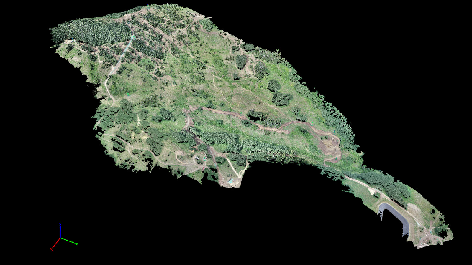
They hired the company GoGeo, experienced drone surveyors, to create 2D orthomosaics for them. GoGeo was asked to complete surveys before and after the timberwork, and return to aid in final designs for the area. As experienced GIS analysts, GoGeo was well prepared for the task - and knew they needed to use accurate surveying software. That was, of course, PIX4Dmapper.
Project details
| Location | Colorado, USA |
| User | GoGeo |
| Software | PIX4Dmapper |
| Hardware | Phantom 4 Pro V2 |
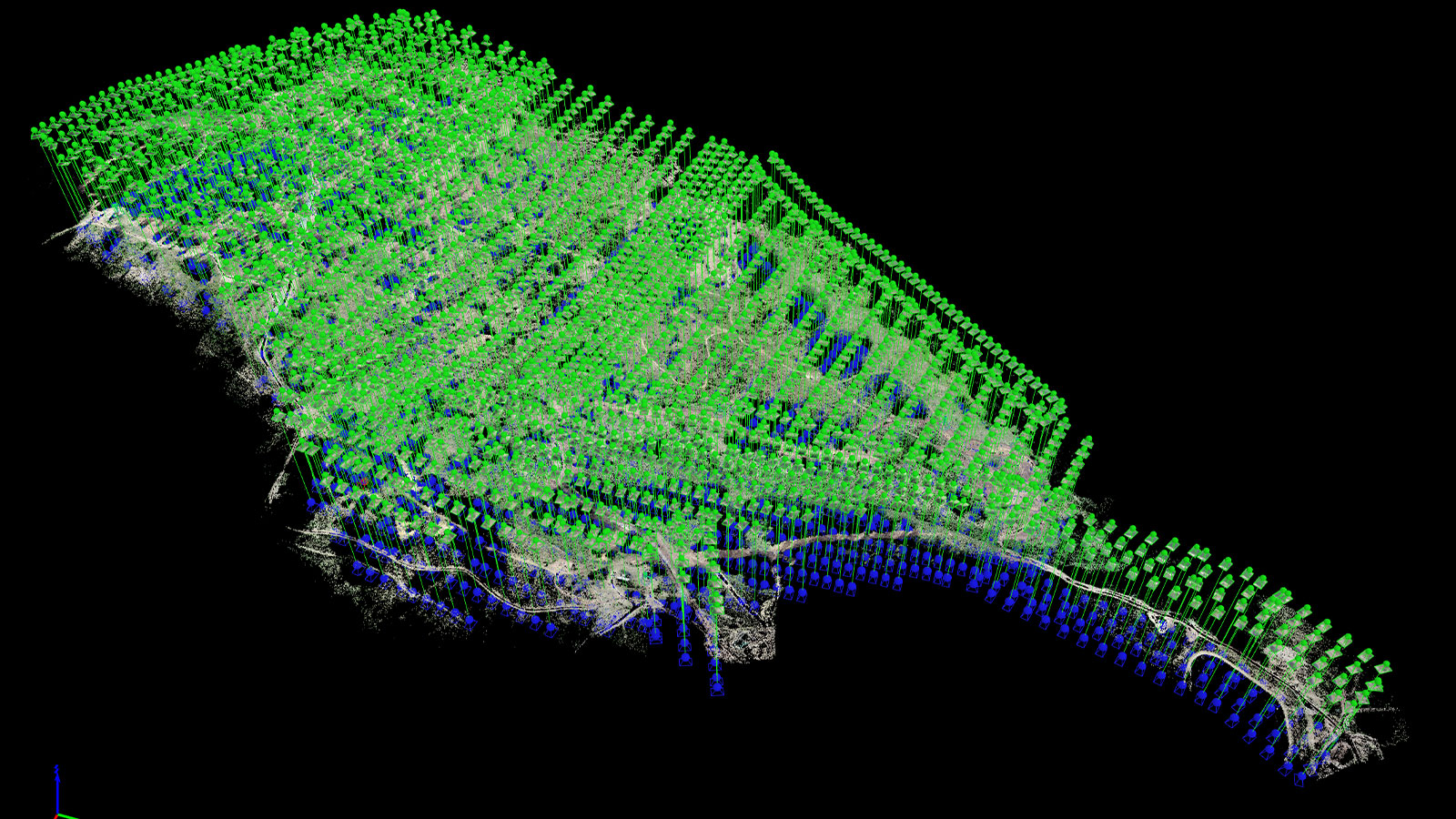
| Images captured | 1980 |
| Area surveyed | 532 acres / 215 hectares |
| Processing time | 2 h 15 min |
| GSD | 3.73 cm |
| Processing hardware | Intel i7, NVIDIA GeForce RTX 3060 GPU |
Mapping a ski resort with drones
This was a high-altitude surveying site - which comes with a unique set of challenges. Locations like this face unpredictable weather, but mountains can be mapped with drones. The mountains in this area experience high snowfall in winter that is ideal for skiing but not easy for drone mapping. To effectively plan the resort, the owning company needed 2D surveys captured in the summer where the snow did not cover the ground and hide the topography. As it is federal land, the US Forest Service needed to approve the amount of timber being affected, which cannot be done with a snow-covered survey.
Drone mapping the summer was not easy either, as GoGeo found. There were thunderstorms nearly every afternoon, meaning the team could only gather data in the mornings between 8 am and 12 pm. They completed 10 flights across the area in two days, matching the lighting conditions as best as they could to maintain continuity in their models. The first flights were in July, to measure the timber, and the second set was in August after the timber had been approved for relocation and transported. The Forestry Service wanted limited terrain disturbance, which the client could prove with the orthomosaic provided by GoGeo.
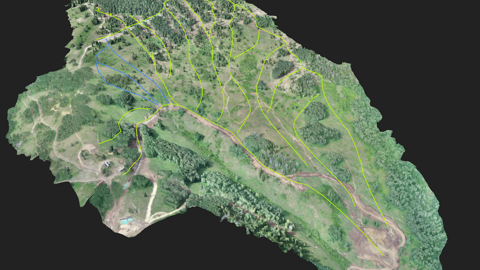
The orthomosaic provided good visualization, which was its key aim. It was added to high-resolution LiDAR data of the mountain that was collected with a plane. However, after the trees were moved, the terrain had obviously changed. Rather than re-deploy the plane with LiDAR, the data was updated with the photogrammetry DSM created with PIX4Dmapper to ensure the digital model of the mountain was up to date.
The outputs from PIX4Dmapper were shared and analyzed by the clients, who used them to complete precise calculations of the timber and terrain disturbance. GoGeo could provide them with accurate results thanks to their experience in drone surveying and with PIX4Dmapper. The GoGeo pilot involved in this project had attended a 2-day Pix4D Workshop to learn how to get the best out of PIX4Dmapper, so he knew how to collect useful data and get the right outputs for their clients.
Benefits of aerial surveying with drones
Thanks to using drones and PIX4Dmapper, GoGeo delivered their results to their clients within 5 days of initial data collection on both occasions, and uploaded their results to ArcGIS for viewing and analysis. The experience of GoGeo meant that their clients could trust the final outputs, and see the return on investment in using drones for this project. Whilst drones are a staple for surveying projects such as measuring stockpile volumes or research, their flexibility for different conditions makes them a great tool for endeavors like this - the exploration of new ways to use terrain.
PIX4Dmapper aided effective planning and helped speed up the workflow, providing accurate results for visualization and measurements. It is yet another exciting example of how using drones for professional projects is an ever-expanding and evolving application!
