In the field: researching best practices in agriculture
Agriculture research helps bring cutting-edge practices to fields. This includes testing Good Experimental Practice (GEP) and Good Laboratory Practice (GLP) in agriculture. The AgroLab Group works across Europe to research the effect of pesticides, using RGB and near-infrared (NIR) imagery to assess the results of their testing practices. This includes analyzing fodder, develop new assessment methods, determining the resistance to treatment by weeds, and much more.
In the Sweden research center, the team hosted experiments to trial different practices concerning pests and treatment applications, and the results were processed and analyzed using PIX4Dfields.

An agricultural research service
The area surveyed with drones was in use for 30 trials, testing plants with a known risk of catching specific diseases or being affected by pests. In the 2021 season, over 150 tests were carried out in this location, including erecting tents to monitor and observe trials involving bees.
One specific experiment was a typical effect trial to test how 15 different wilting products worked. The treatments were applied to the fields logarithmically with a dosage starting at 200% of the recommended quantity and ending with 10%. The experiment took place over the summer of 2021, with drone mapping deployed twice after treatment to analyze the results: three and six weeks after application.
For a typical trial, there is usually a fixed dosage that is sprayed in 4 replicates/plots. In this case, the purpose was to demonstrate how logarithmic spraying is well suited for creating dose-response data and getting results. Parameters such as the minimum lethal dose of a product, the maximum tolerated dose, and the maximum dose that produces no symptoms can be calculated from the results of this trial.
Project details
| User | AgroLab |
| Location | Backgården, Sweden |
| Software | PIX4Dfields PIX4Dcapture QGIS |
| Hardware | DJI Phantom 4 Pro V2, Sentera sensor |
| Processing hardware | CPU: Intel(R) Core i9-10850K RAM: 32 GB |
| Area surveyed | 500 m2 per trial |
| Number of images | 30,000 across the season |
| GSD | 1.96 cm/px |

Benefits of drones in scientific research
Bringing drones and analytical software such as PIX4Dfields to a research site has several benefits. It allows for comparisons to be made over time and track the growth of a field. Some clients will request drone images of trials carried out by AgroLab to better understand the outcomes and research. For AgroLab, using the aerial maps helps prove the integrity of a trial. The drone maps are also used to analyze a site before the experiment takes place to ensure it is not prone to flooding or drought, which could stress plants and unexpectedly impact an experiment.

A logarithmic trial is a way to rethink the traditional methods for testing a product. It can be a challenge for spraying teams, as this requires a new method for applying products to a field. The trial must be conducted and completed with the highest possible accuracy. This means spraying methods, data collection, and analysis must be reliable and transparent so that when a client is presented with results, they know exactly which products to conduct further research on.
Selecting the right agriculture software for crop research
Working with precision agriculture and software means selecting the right solution for the desired outcomes and workflow. The DJI Phantom 4 PRO V2 is a rotary drone, making it good for short flights and better maneuverability. The Sentera sensor was mounted on the Phantom and used to capture both the NIR and RGB imagery. To process the data, PIX4Dfields was selected because of its comprehensive capabilities in precision agriculture and multispectral image analysis.
Initially, the team set up a workflow to connect the drone, Sentera sensor, and the flight planning app PIX4Dcapture. There is a challenge in integrating different interfaces, apps, software, and hardware solutions. Working with help from Sentera and the Pix4D Support team, the researchers set up a system that worked perfectly for them. This helped avoid having to re-fly their sites or repeat data capture due to incomplete results.

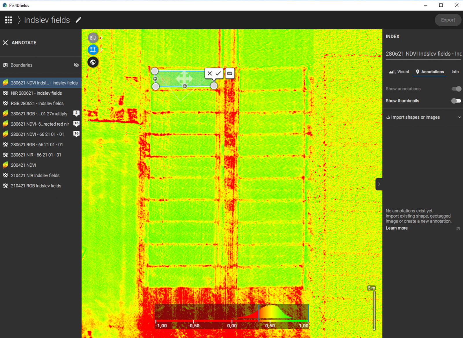
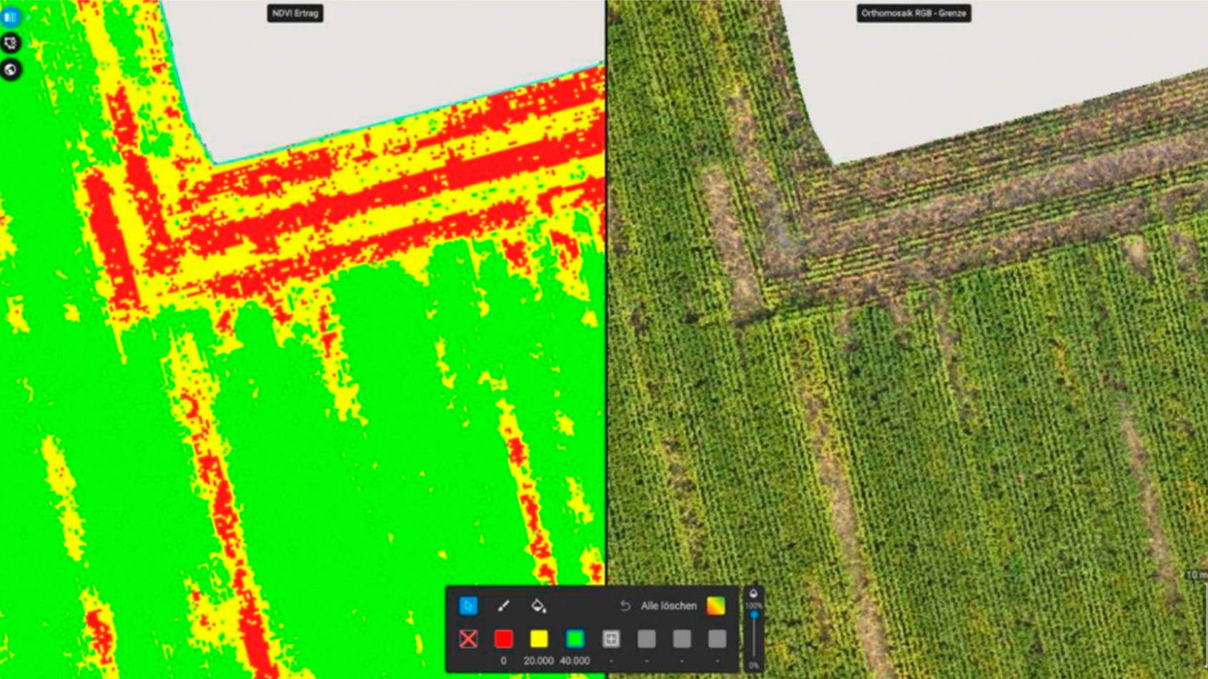
PIX4Dfields is the ideal tool for analyzing trial plots due to being able to use vegetation indices as well as set up trial plots, easily calculate statistics, and analyze how a treatment project worked by comparing treated and control plots. In addition, the software processes images quickly without needing internet access. This allows for a high level of analysis that can accurately give insights into a trial plot. For the case of AgroLab, this has meant they’ve been able to provide clients with a drone image taken that day or the day before, easily sharing the progress of a trial.
Establishing an effective workflow
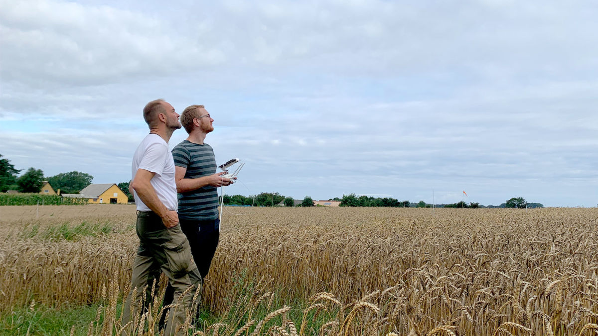
Firstly, the team took advantage of preparing the sites and flying drones to analyze them. They asked local farmers for advice about spraying and harvesting in the area, as well as understanding the local climate. This gave them the benefit of using local knowledge and experience to get the best results and make predictions. For the days they flew, the team carefully monitored the weather forecast to avoid rain or wind speeds that reached 10 meters per second, which can hinder a flight or damage a drone.

Once the software and hardware workflows had been successfully established, the AgroLab team started to export the findings of their drone flights. They created NIR images as well as RGB ones, which were exported as GeoTIFFs. The NDVI images were imported into PIX4Dfields via QGIS, after which all the trial plots were analyzed. The results were shared with clients, who could act on the findings in their own work and research.
Better agriculture for the future
The work by AgroLab is helping growers and researchers find new ways to apply treatment plans to fields. They have found adding drones and drone mapping to their workflow has significantly increased how quickly they can gather results. It saves time and is less labor-intensive than traditional methods.
“PIXDfields is bridging the gap between treatments, observed, and quantifiable effects. It is improving interpretations of experimental data with instant imaging for agronomically valuable information.” - Kenneth Sørensen, AgroLab
The value of rethinking the way a product is used challenges spraying personnel as well as researchers. AgroLab can now determine what dosages have what scale of results in similar conditions, creating their own scale that they can replicate and share with clients for recommended treatments. As people move towards more eco-friendly agricultural practices, research like this helps improve precision agriculture as it will save resources and make treatment more effective.
Working with PIX4Dfields enables AgroLab to get the answers their clients want without wasting time and resources on slow data collection for results. At the end of it, they have powerful outputs that can easily be shown to clients and track the progress of an experiment.


