Reducing herbicide and saving costs with PIX4Dfields
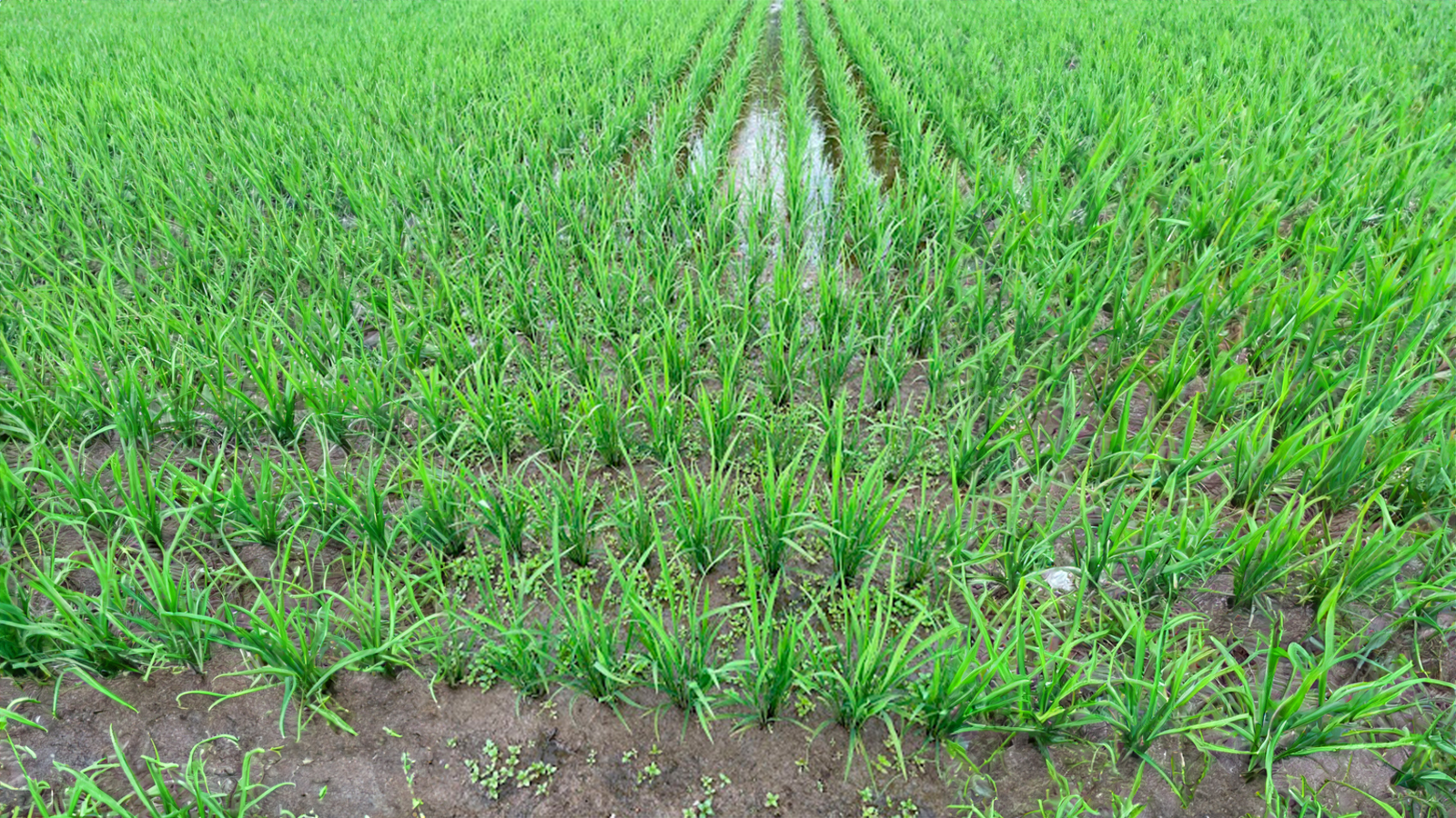
Rice paddies are a cornerstone of agriculture in Japan, playing a vital role in the country's economy and cultural heritage. Rice has been cultivated over the centuries to adapt and prosper in the damp shallow fields and mountains which make up the majority of Japan’s landscape. Japan’s landscape ecology has been greatly influenced by “paddy agriculture”. Rice paddies are an innovative agriculture technique, they are flooded, level plots, often found on hillsides that enable the use of small areas of land to produce significant quantities of rice.
However, the use of herbicides on rice paddies to control weeds poses significant environmental and health risks. Research has shown that weeds that are not controlled within the first three weeks after sowing (the tillering stage) can cause a yield reduction of up to 50%, this is why weed control during the tillering stage is so important. In this case, the innovative use of PIX4Dfields has proven instrumental in reducing herbicide usage, promoting more sustainable and efficient rice cultivation.
Reducing herbicide use with spot-spraying
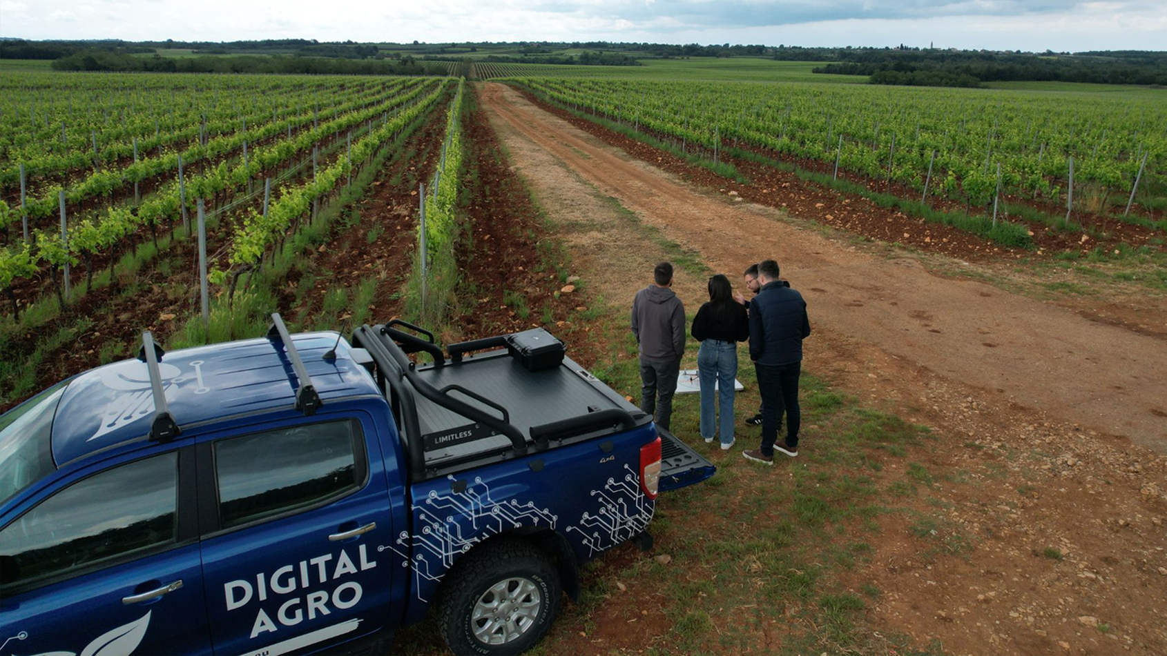
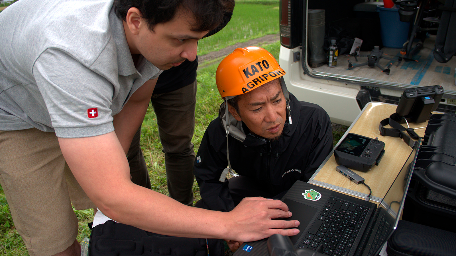
Agriport Kato is a service provider for rice paddies in Japan, providing treatment solutions and spray service for farmers in Hokkaido. They managed to successfully reduce the use of herbicides on rice paddies using a DJI Mavic 3 Multispectral, a DJI T-30 Agras, and PIX4Dfields to spot spray weeds!
Workflow
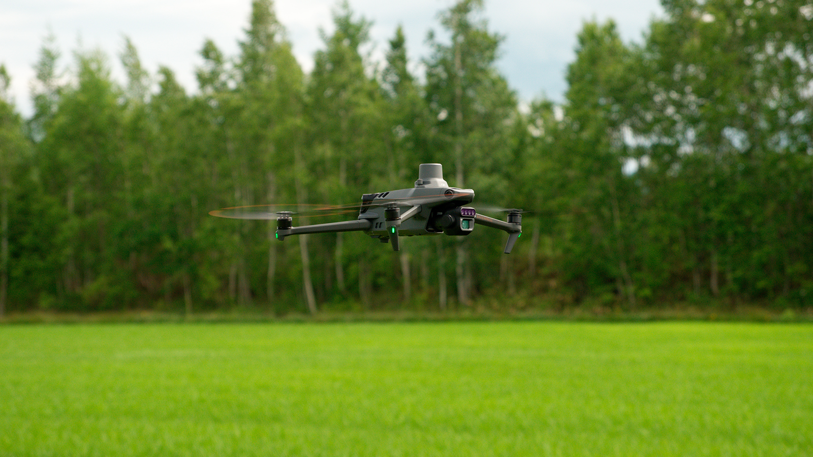
- Mavic 3 Multispectral drone to capture the field data
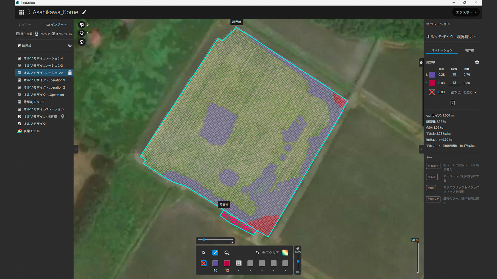
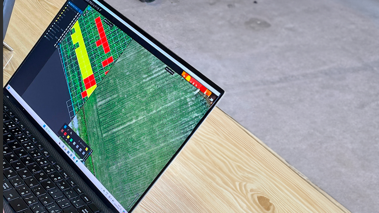
- Process the data in PIX4Dfields
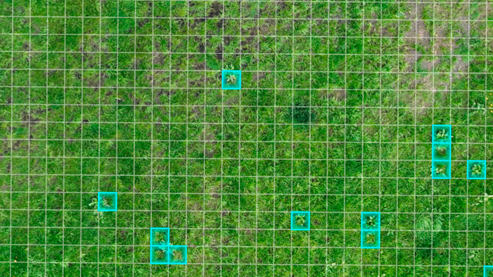
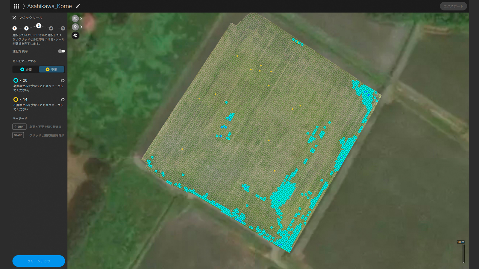
- Use PIX4Dfields' Magic Tool to spot exact weeds' location
- Create spot spray mission with PIX4Dfields, based on the information of weed detection by the Magic Tool
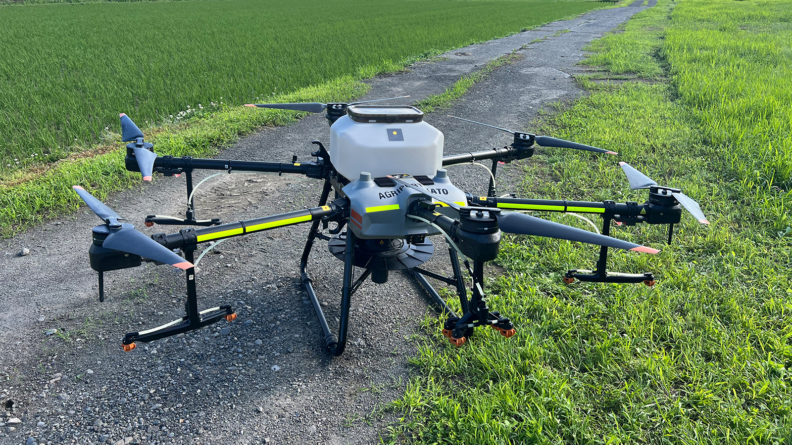
- Export to Agras T-30 spray drone and execute targeted herbicide application with PIX4Dfields Targeted Operation workflow
The results: herbicide use reduced by two thirds in two days!
Rather than spraying herbicide through the whole field, Agriport Kato managed to save about two thirds of the herbicide cost through the spot spray mission with PIX4Dfields. They used 3kg a hectare at 75 USD, so the total saved was 175 USD for 1 hectare—usually they would use 10kg a hectare and spend 250 USD per hectare. Additionally, the less herbicide used the less damage is done to the rice crop as the growth of rice crops is highly sensitive to weed competition in the early stages (herbicide is also harmful for the growth of rice!) They completed the project in just two days.
They chose PIX4Dfields for its fast processing capabilities, which allowed them to quickly create spot spray prescription maps and easily identify weeds using the software. They found Pix4D to be the most advanced tool on the market, particularly in precision spraying aided by vegetation analysis. Additionally, the on-site data collection and processing were smooth and efficient, thanks to its fast and offline processing features.
By adopting this technology, Agriport Kato has demonstrated a successful model for reducing herbicide use, enhancing crop safety, and promoting sustainability.
“With the use of PIX4Dfield’s Magic Tool to locate the weeds, we can lower the cost of herbicide through a spot spray mission for growers rather than spraying the whole field" - Agriport Kato