UAV monitoring to preserving endangered spider monkeys
To aid in the preservation of the endangered Brown-headed Spider Monkey, Ecuadorian organization Drone&GIS used a UAV and Pix4Dmapper-generated digital surface model and orthomosaic to calculate the volume of tropical forest regions in Ecuador, helping determine the health and viability of the forest areas as Spider Monkey habitats…
Project Information
| Company | Drone & GIS |
| Country | Ecuador |
| Industry | Environmental Monitoring |
| Project date | July 2015 |
| Project members | Pablo Melo (Drone &GIS), Diego Andrade (Drone &GIS), Felipe Alfonso Cortes (Proyecto Washu), Mika Peck (University of Sussex) |
| Project size | 1,200 hectares |
| Number of images | 7,300 |
| GSD | 8cm |
A dynamic habitat
Spider monkeys occupy relatively large living space (90 to 250 hectares per group) and consume mostly ripe fruits which requires a large area of healthy forests. These have made their survival more difficult.
The main purpose of the project is to preserve the habitats of the brown-headed spider monkey to maintain the forest dynamics as well as to bring up this issue to public. The brown-headed spider monkey is on the Critically Endangered species list according to IUCN Red Book of Mammals of Ecuador. Study shows that the species is extremely important due to their large size (around 9 kg) and the long moving distance per day (around 500 m to 5 km). Several tree species depend solely on these spider monkeys to spread their seeds and regenerate.
UAV was used to acquire large amount of images in a short period of time. Pix4Dmapper was used to generate an accurate DSM and orthomosaic of the mapped forest regions. The orthomosaic and the forest volume calculated based on the DSM were then used for further habitats analysis.
Taking flight
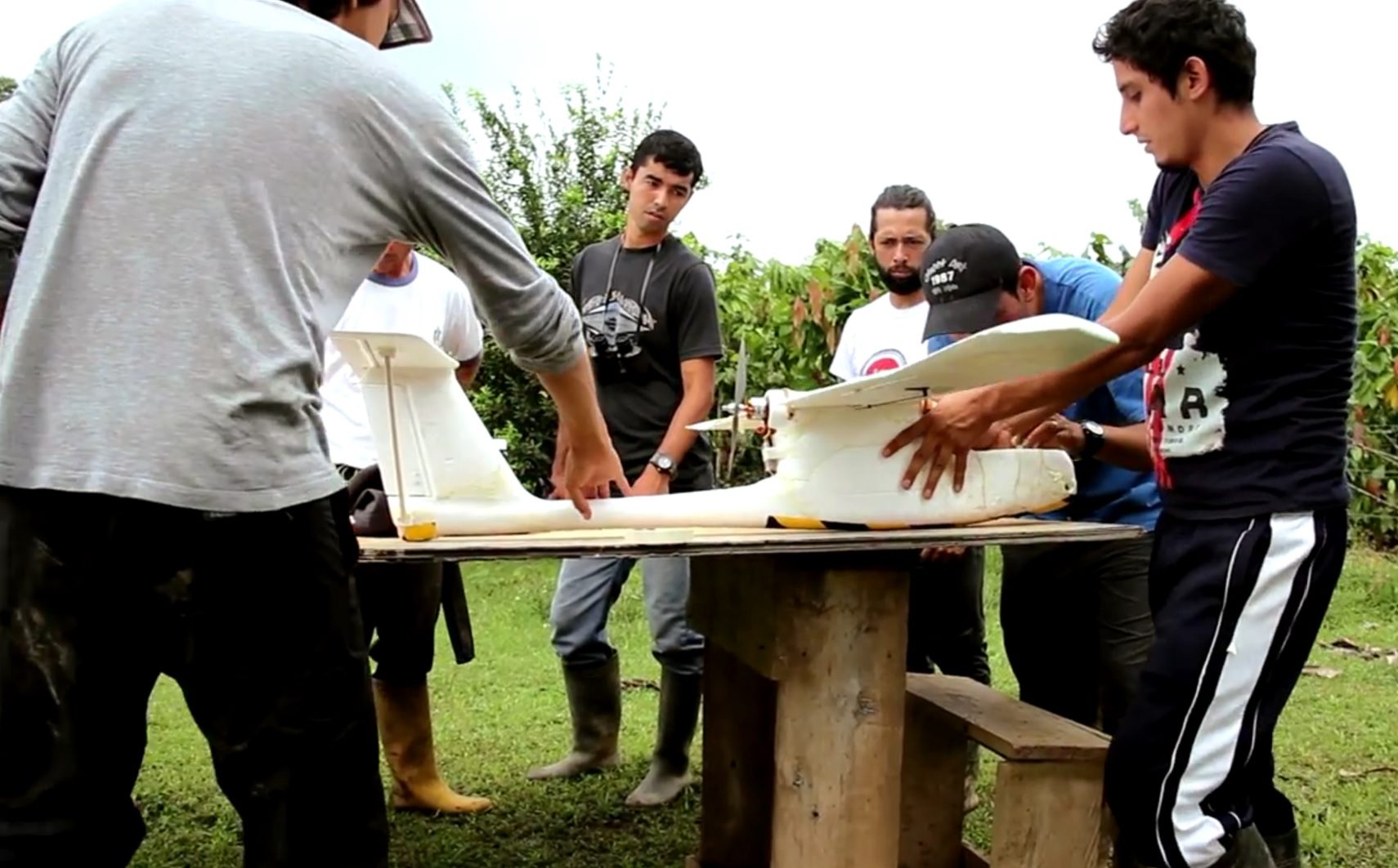
Images were taken using a Fixed Wing UAV- E384 by Event38 unmanned systems, equipped with a Canon SX 260HS. Four 250-hectare and one 150-hectare blocks were planned for each flight. Due to climatological conditions (it is one of the rainiest areas over Ecuador more than 6000 mm /year), this project can only be executed in July or August where the rainy season is over.
The project was done in just two days. Very large datasets were obtained and therefore high processing capacity workstation was used. In order to cover more area in less time, the team flew the UAV at least at 250 m over home level to reach a GSD of around 9 or 10 cm.
"Results were quite amazing"
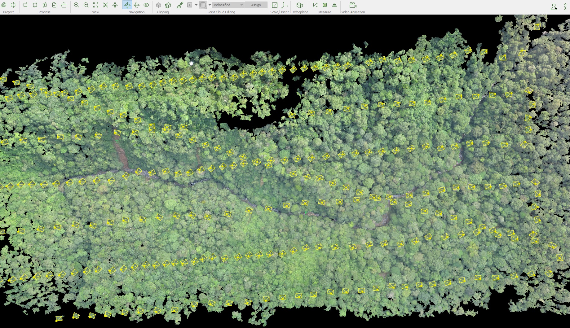
It is usually difficult to obtain good results of dense vegetation regions using photogrammetry. Results were quite amazing. The point cloud is truly valuable to estimate carbon stock over pacific tropical forests.
An orthomosaic was generated with around 8 cm of GSD, covering an area of 1000 hectares. An accurate and low-noise DSM is critical in order to calculate the forest volume.
"A big advantage"
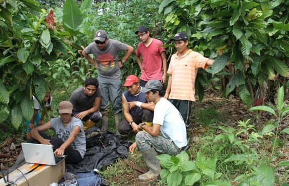
Reconstruction from the UAV-acquired images allows us to retrieve spatial information of inaccessible areas. The high resolution topography (DSM) and orthomosaic of the dense forest area now makes the analysis easier and more accurate.
With traditional surveying method, these kinds of project would not be achieved in such a short period of time. Also, the huge savings on the cost is a big advantage since now the clients can invest more in other conservation activities.

