PIX4Dmatic 1.35: view your mesh!
We are excited to share PIX4Dmatic’s mesh generation and viewer as well as a lot more new features coming in the latest release, including new processing options, extended capabilities for image import, and improvements on the PIX4Dmatic workflow.
Brand new mesh viewer!
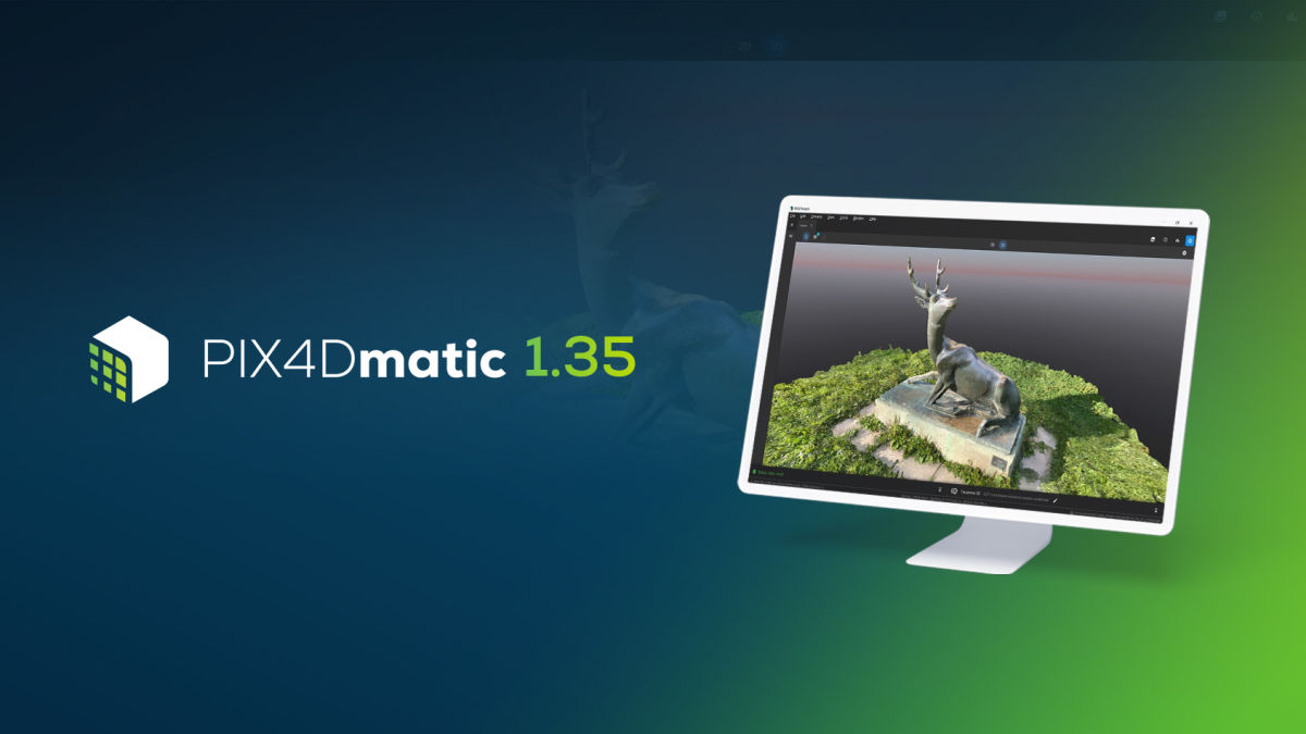
Extend your reconstruction workflows with 3D meshes that include accurate and realistic information about the real world. In a previous release of PIX4Dmatic, we introduced you to the improvements on the mesh generation: fewer artifacts due to missing and noisy data with more geometrical accuracy. Now you can see your results in our brand new mesh viewer! Generate your mesh with even more options according to your project’s requirements and then view it either in Textured or Shaded mode. Our algorithm is constantly improving and you can now get cleaner geometry, sharp textures, and detailed, high definition results even if your point cloud contains some noise. In addition, the 3D measurement tool is also available for quick scale accuracy check on the mesh.
Import more data more efficiently!
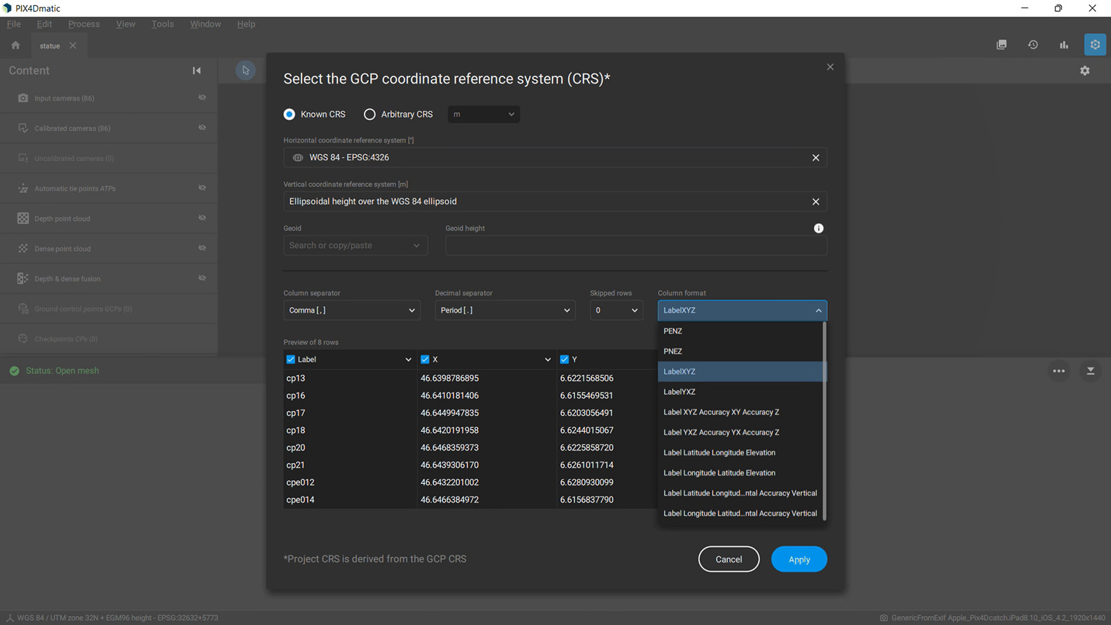
With the new release, you have more flexibility when importing the GCP file. A brand new import and preview dialog was added in column format where you can choose the columns you want to be included and you also see a preview of the file. Just import the file and make any changes you need for your project and data.

Another great improvement coming with this release is the removal of position and orientation requirements for input images and you can now process your project without needing to find and remove images that do not have this data. Expand the range of compatible cameras you can use and import any kind of images, as long as they have EXIF and XMP tags.
Improved marking and more automation
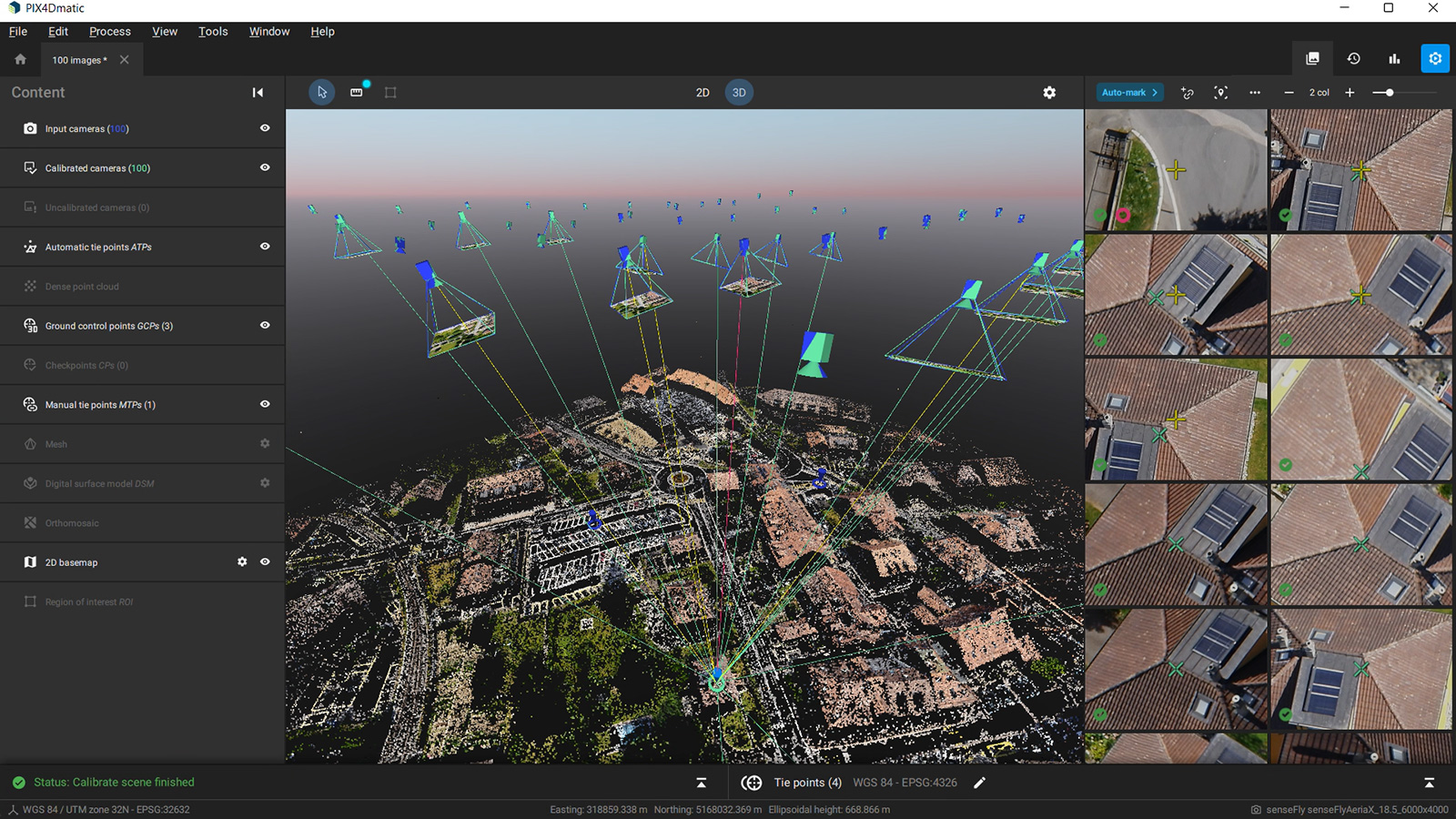
Marking identification just got simpler: the outlier mark is not only indicated in the tie point table, but now you can see the corresponding images in the image viewer, enabling you to save time while investigating errors. What is more, the outlier is visualized in the 3D viewer with the red line, making the outliers display more comprehensive.

PIX4Dmatic is a unique photogrammetry software as it leverages the benefits of both photogrammetry and terrestrial LiDAR technology and provides end to end terrestrial workflow with the viDoc RTK rover and the PIX4Dcatch app that acquires LiDAR and RGB images. This workflow is now even faster and more intuitive. With this release, there is a new processing option template for PIX4Dcatch data. When imported, this data is automatically detected and the software applies dedicated and optimized options during all steps of the photogrammetric processing.
There are many more valuable features and improvements in this release so download the newest version of PIX4Dmatic and make sure you check our blog, product page and support pages to discover all of the news and updates to PIX4Dmatic, or our training site to find out about our available training courses. If you want to learn more on why combining aerial and terrestrial data for mapping is the ideal solution for creating a comprehensive, accurate 3D models, watch our free webinar and learn how this solution can extend your work and help your mapping business grow!


