PIX4Dmatic 2024 Highlights
As 2024 comes to a close, we’re looking back at PIX4Dmatic's key updates. Discover the new features that we designed and improved this year to make your workflow more efficient.
Compute volumes
PIX4Dmatic finally has the long-awaited volume computation tool! This powerful volume calculation tool enables quick and accurate measurements of stockpile volumes, excavation sites, and other 3D objects directly from the project data. You can also share the results in a fully customizable report (more information below). This is particularly useful for industries like construction and mining.
Custom reports!
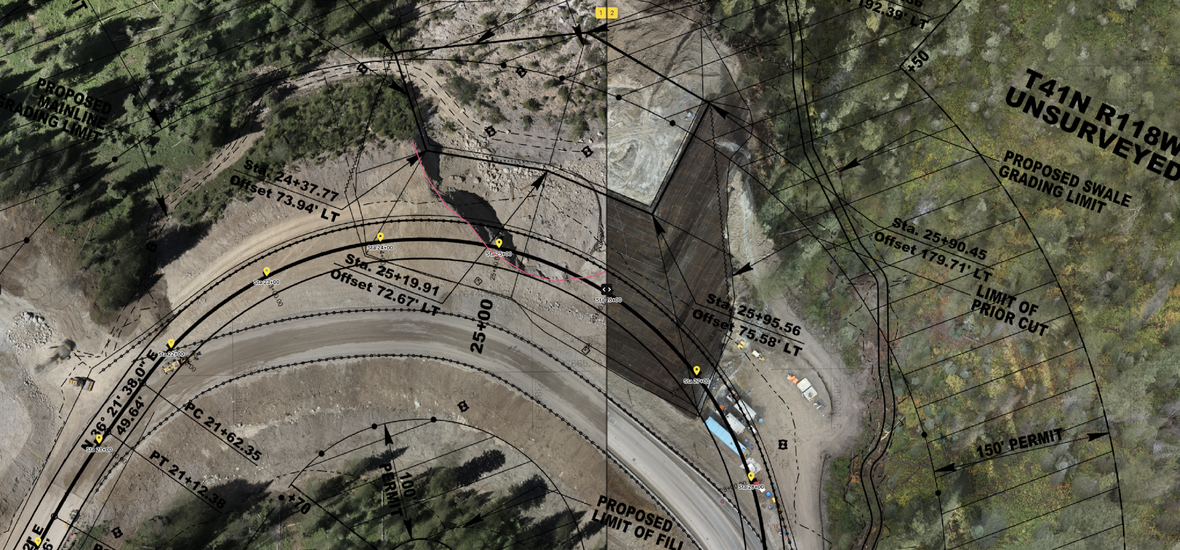
Offer a comprehensive report overview of your section views and vector layers, including volumes, with options to include your contact information, logo, a scale bar, north arrow, and a detailed inventory of geometries!
Easily vectorize and measure the information you need
- Get automatic measurements thanks to the new masks workflow!
- Import geometries (DXF, SHP, and SHP ZIP) or draw and measure in 2D on your orthomosaic and in 3D on your point cloud and mesh
- Easily vectorize building and complex structures by snapping vertices to other geometries or point cloud points using connected polygons
- Align all vertices to their average, highest, or lowest vertex height, or set a custom height value
- Vectorize consistently across a team and projects by creating layer templates then importing and exporting them. Locate a particular layer of interest with the search bar
Explore and vectorize your project in detail with the new Section View feature for vertical and horizontal sections!
- Easily provide road sections and floorplans thanks to our new Section View feature
- Generate and export orthoplanes
Mesh
Check out our new scalable mesh pipeline to generate more detailed meshes for large projects.
Quick DSM and orthomosaics
Generate DSMs and orthomosaics without processing the dense point cloud, enabling faster results for flat areas!
Get clean project boundaries, and remove objects and obstacles
- In addition to automatic measurements, easily mask noise and features obstructing the dense point cloud, mesh, DSM, and orthomosaic. Masks can be customized for each processing step and automatically applied to the relevant images in your dataset for a seamless workflow
- Achieve clean result boundaries by drawing or importing a 3D region of interest, ensuring precise and focused outputs
Custom classes for point clouds, better readjustment and navigation!
We introduced several updates to improve point cloud workflows, making it easier to work with and navigate your data. This means you can now:
- Extract the information you need from the point cloud by creating your own classes and class colors
- Readjust the point cloud after after reoptimizing. You can now add additional gelocation information to your project—no need to lose time processing everything from scratch!
- Ensure smooth 3D navigation by choosing the density of points you are viewing!
- Focus on specific areas of the point cloud by using the clipping box to display only what you need
End-to-end workflows
- Apply a CRS that aligns with the coordinate systems used in earlier tools in your workflow, such as Trimble (CAL) and ESRI (PRJ)
- Upload geometries of any size to PIX4Dcloud and manage large datasets effortlessly, without limitations
Additional features!
- Replicate local referencing by importing a PIX4Dmapper site calibration file into PIX4Dmatic
- Create highly detailed meshes for large projects using the 'Scalable Mesh' pipeline
- Easily manage your license seats with remote device deactivation
- Images captured with PIX4Dcatch now include an option not to optimize the camera internals together with tie points, preventing overly strong adjustments to account for position errors.
- PIX4Dmatic supports your local and user-provided geoids! Recently added geoids:
- Czech Republic: CR-2005
- Portugal: GeodPT08
- Corsica: RAC23
- Singapore: SGeoid09
- Austria and New Zealand
- Lithuania: LIT20G (user-provided geoid)
- Estonia (EST-GEOID2017 (user-provided geoid)
- Korea: KNGeoid18 and KNGeoid24 (user-provided)


