Pix4D products now available with SOTEN, a Japanese drone
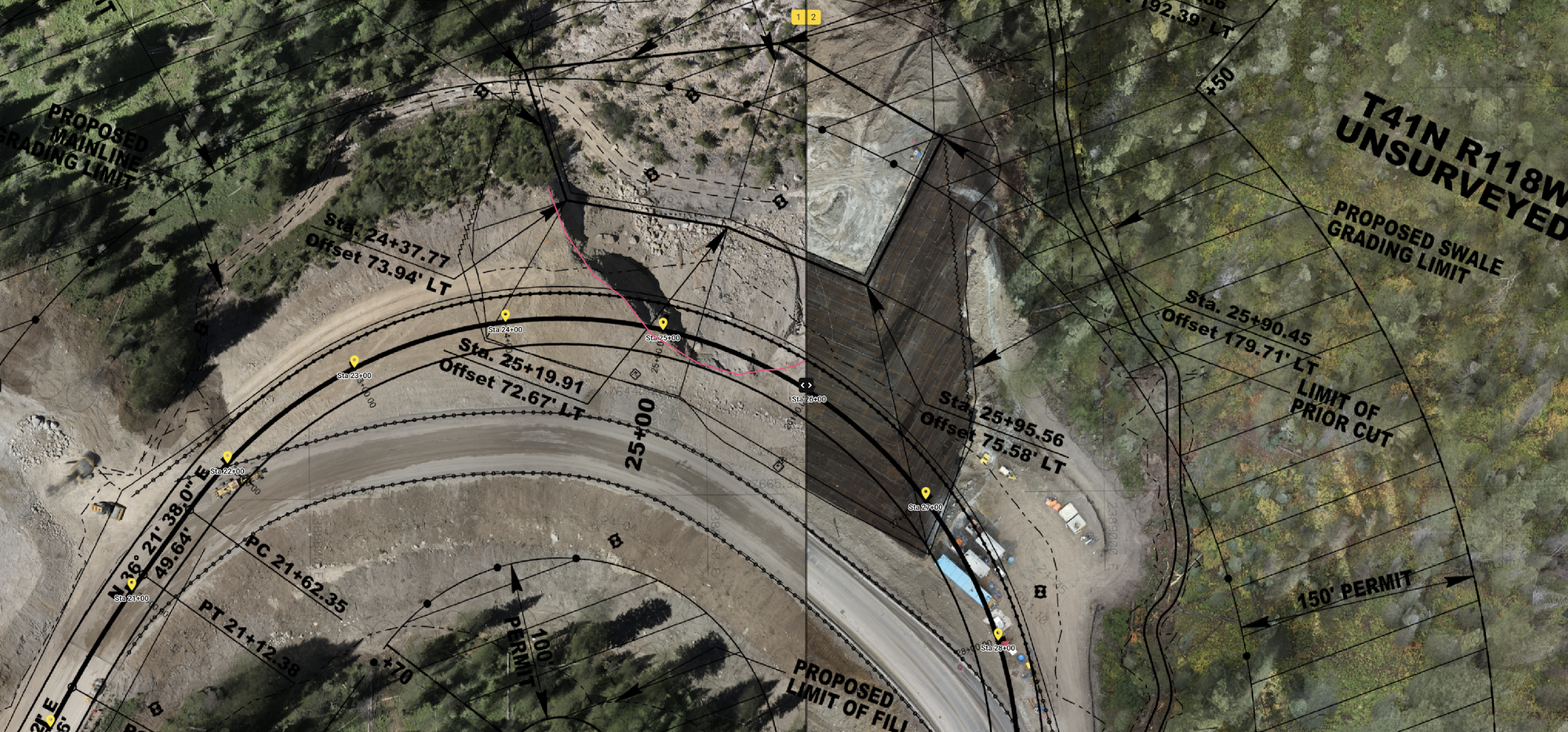
(Tokyo, 9 November 2022)ACSL, a leading provider of drone and management systems, has announced the launch of the SOTEN support in PIX4Dmapper and PIX4Dreact. The new collaboration means that that PIX4Dmapper and PIX4Dreact, provided by Pix4D Inc., will be available for use with SOTEN, a Japanese-made drone provided by ACSL. The service will be available from 10 November 2022. This will make it possible to use images taken by SOTEN in a wide range of fields such as surveying, infrastructure inspection, and disaster monitoring.
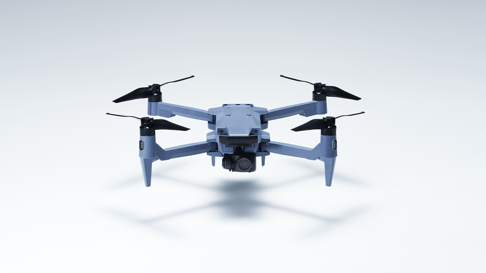
ACSL's SOTEN is a small, secure aerial photography drone developed in response to growing demand for highly secure drones. SOTEN is designed to prevent data leakage and extraction, and to resist hijacking, and since communication and shooting data are encrypted, customers who are concerned about the use of drones in terms of security can use SOTEN with peace of mind. It also has the flight performance required in the field, including wind resistance with a maximum airspeed of 15 m/s and SLAS/SBAS (sub-meter class positioning augmentation service of the quasi-zenith satellite system MICHIBIKI) that enables more precise positioning information in Japan.
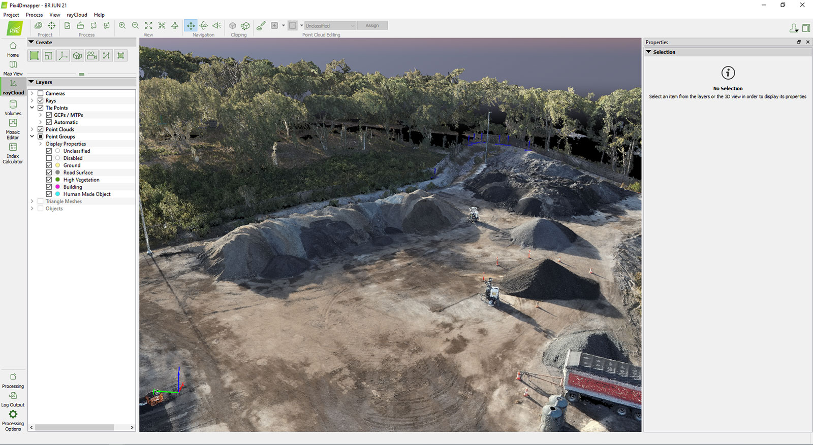
PIX4Dmapper is specialized photogrammetry software that creates elaborate 2D and 3D maps from images taken by drones or other tools. It can be used for 3D point clouds, volume calculations, infrared thermal maps, and many other applications. It can provide a variety of outputs such as volume calculations or infrared thermal maps and ensures data security due to being desktop-based. As a result, it is used by professionals in Japan and abroad for a wide range of applications, from surveying and construction to infrastructure management.
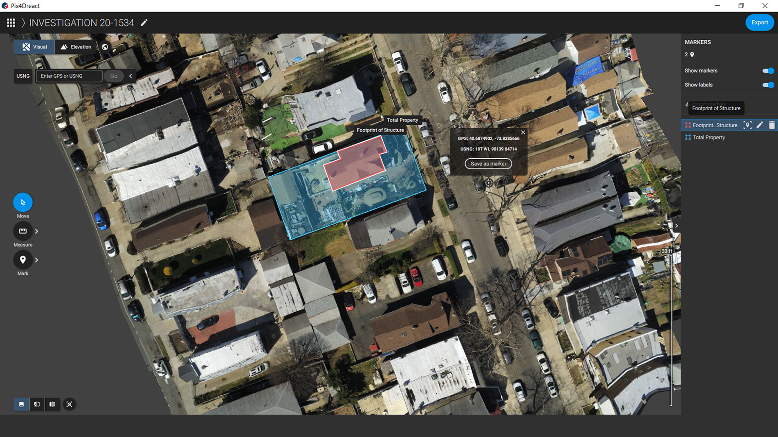
PIX4Dreact is a high-speed drone mapping software for public safety. It creates 2D maps from aerial images of disaster sites taken by drones in a few minutes, enabling rapid on-site assessment. The software can be used without an Internet connection, and the outputs can be opened on mobile devices, facilitating rapid information sharing and response in emergency situations. The system is currently used by thousands of fire, police, and non-profit organizations in Japan and overseas.
The SOTEN drone can be purchased from ACSL's distributors, and will also be sold in a bundle with PIX4Dmapper and PIX4Dreact. The drone can fly for 25 minutes at a time with a camera, with a maximum transmission distance of 4km. The standard camera is 4K video compatible and captures 20 megapixel still images.
SOTEN IMAGE
This partnership represents an expansion of Pix4D's supported drones for its software and opportunity for SOTEN users to expand their service offerings with specialized photogrammetry software.
