New DTM extraction now in Pix4D Desktop 3.1
Precisely distinguishing bare earth from digital surface models (DSMs) has always been sought-after. However, it remains difficult to accurately separate objects from terrain, due to the large variety of vegetation and man-made structures above ground.
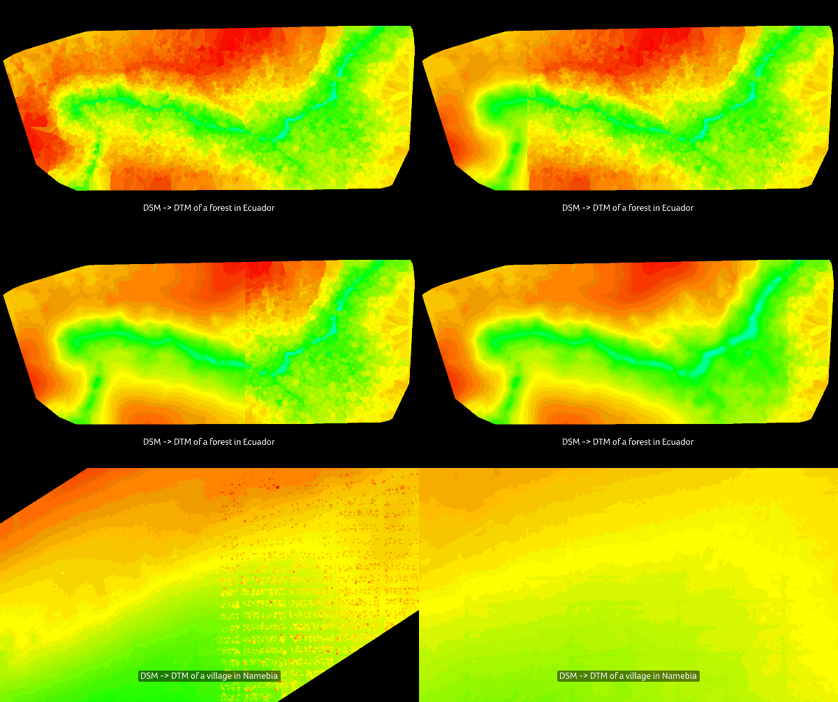
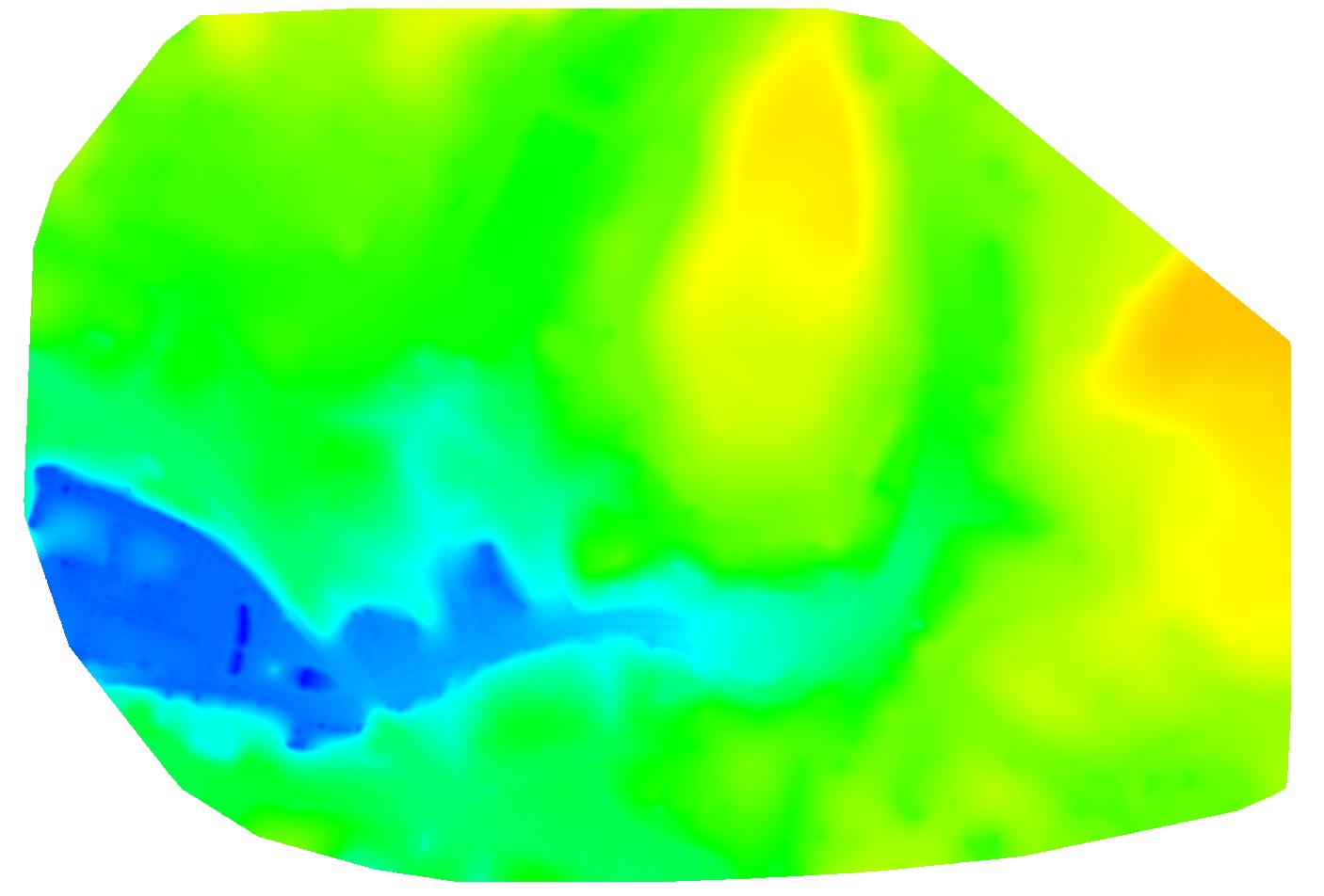
Using DSMs generated from high-resolution images, Pix4D Desktop’s algorithms can now detect bare earth, as well as compute and remove above-ground objects precisely without pulling the terrain height up for interpolation.
This new approach gives the accurate terrain model elevation, instead of just visually removing objects.
This fully-automated algorithm works perfectly on surface models, whether it contains small and scattered houses or large, dense trees.
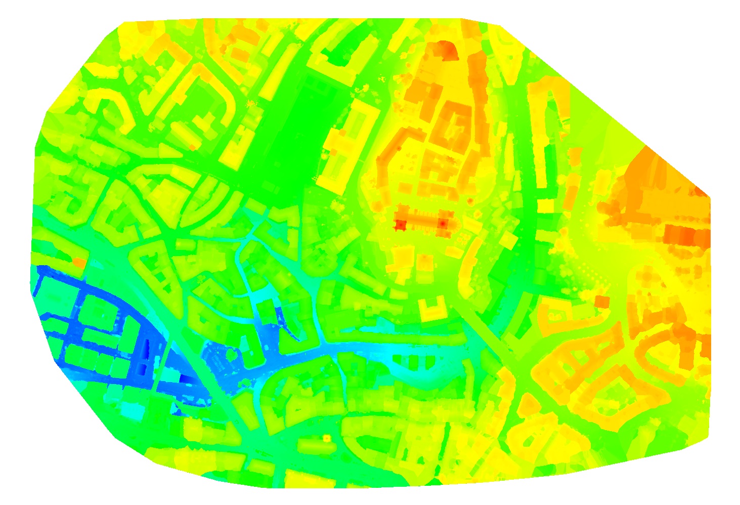
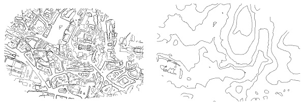
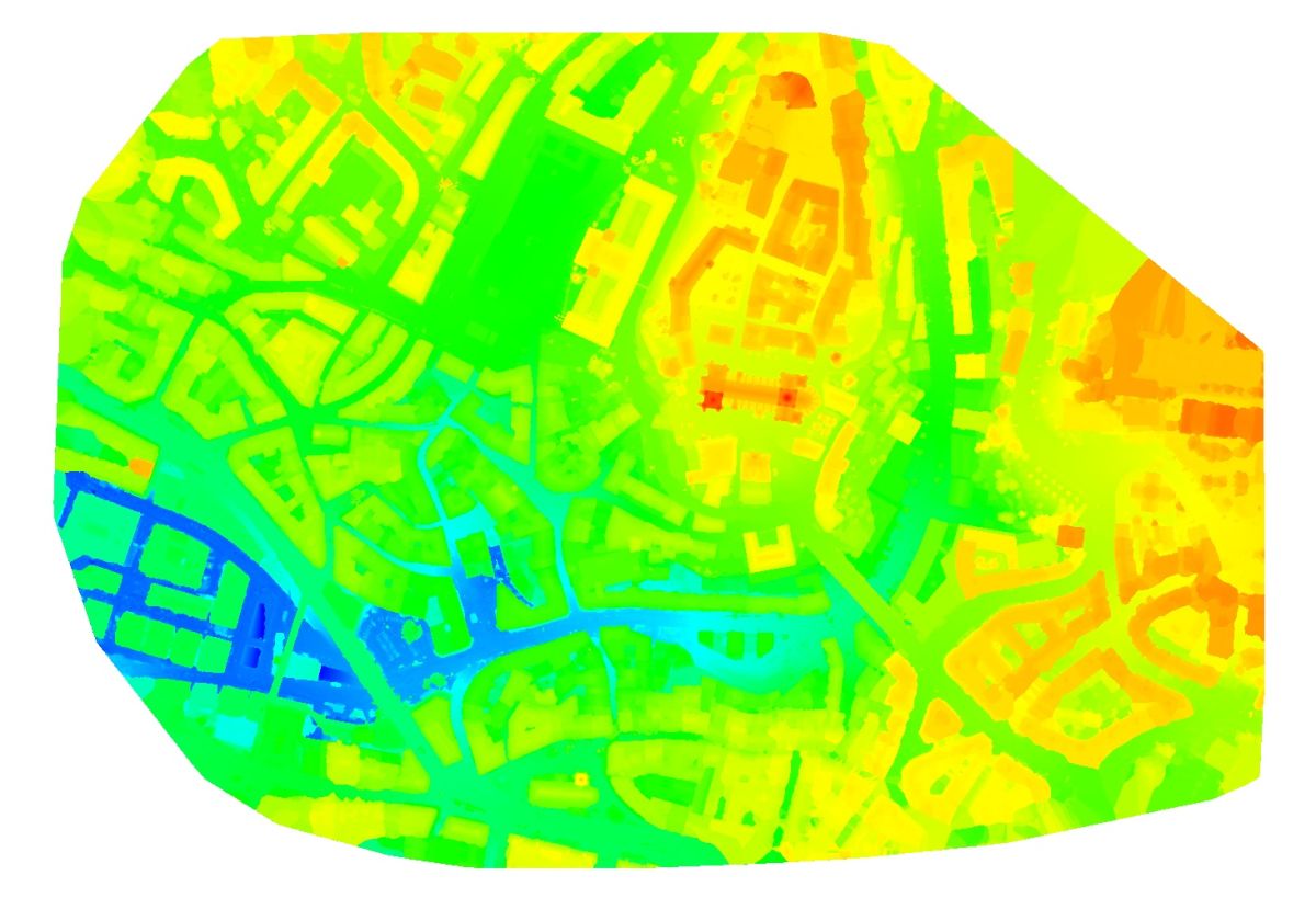
Here is the sample results from the city of Lausanne data set (GSD=10 cm):
