The PIX4Dcloud 2021 wrap up: new tools and new options
As 2021 has come to an end, we want to share the most significant PIX4Dcloud improvements from the past year. Read on to learn more about what’s new and improved in the last year.
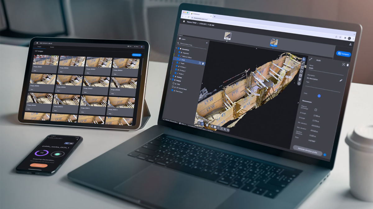
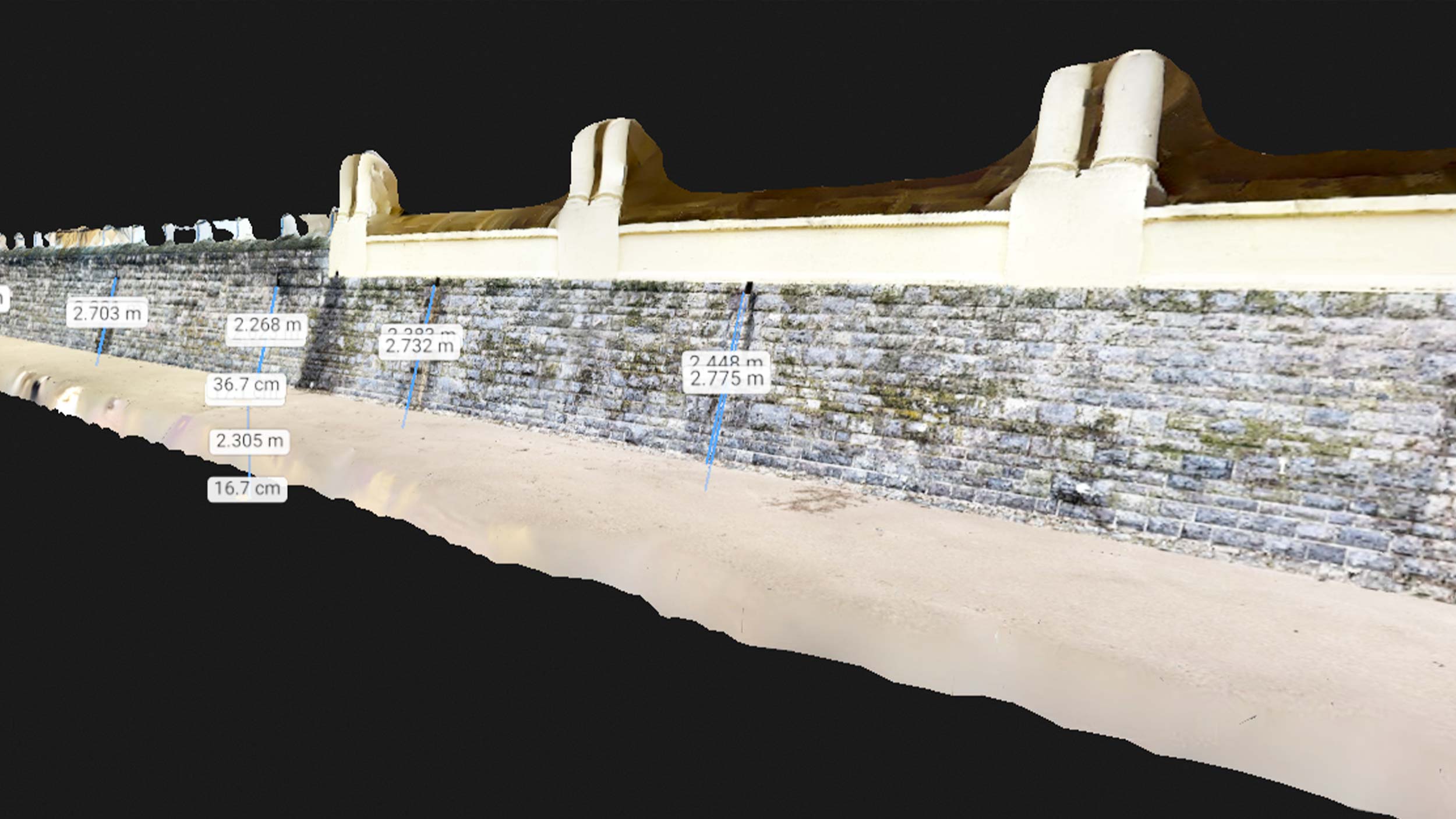
PIX4Dcloud is your ultimate resource for creating and sharing 2D and 3D models online with photogrammetry. No longer available only for drones or handheld camera images, PIX4Dcloud now has a host of new opportunities thanks to its integration with PIX4Dcatch and the viDoc RTK rover. We have had a lot of updates - and exciting use cases - from the last year. Find out what changed, and how it can help you.
Better navigation in 3D with First person camera control
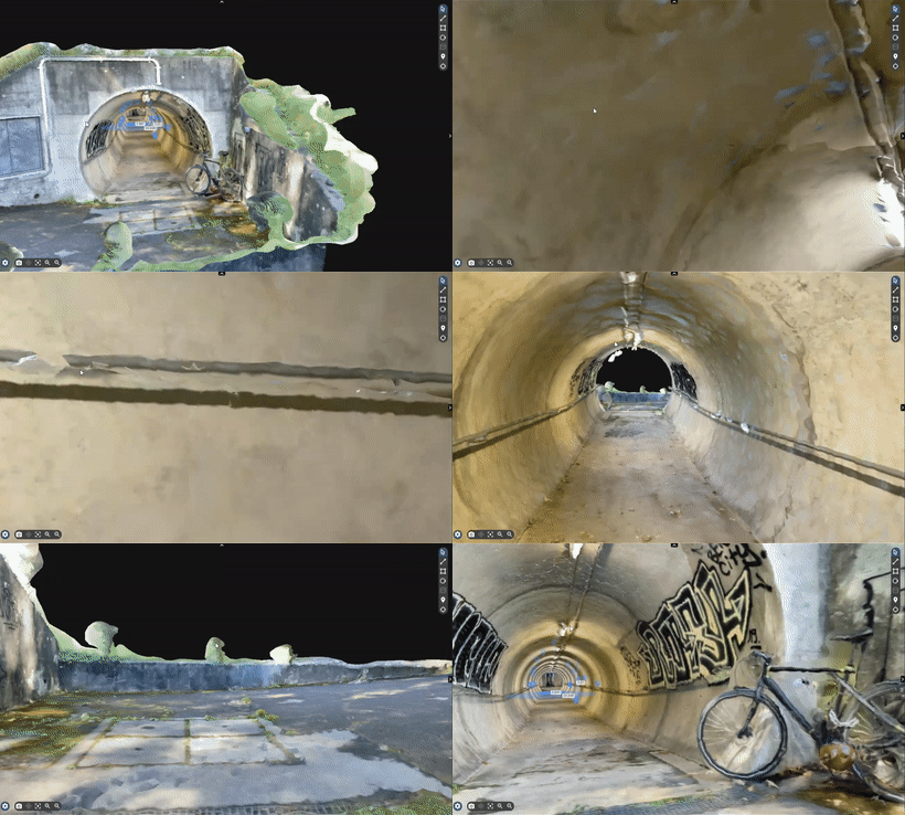
Improve your navigation in the 3D view with the "First person camera control" mode. It allows you to navigate within the space as if you are walking inside the reconstructed environment, while also removing distractions or unnecessary features from the surrounding area such as buildings or trench walls. The "First person camera control" is especially useful in narrow spaces and indoor projects.
To get more information and find out how to activate it, read our technical documentation.
PIX4Dcloud is available in different languages!
This past year we have worked to improve your experience with PIX4Dcloud adding more languages. PIX4Dcloud is now available in English, Italian, Japanese, Korean, Spanish, and Thai. To change the language, click the user icon on the top right, select "Languages", and choose your preferred language from the dropdown.
Output coordinate system selection
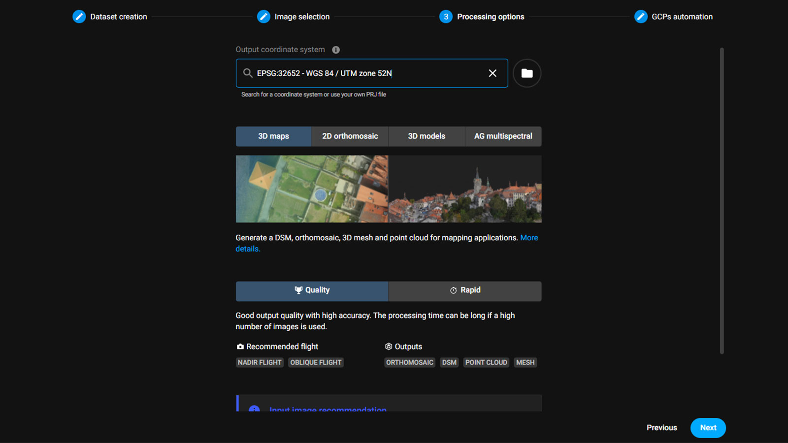
To improve your workflows, you can now select your preferred output coordinate system, so all of your outputs will be produced in the selected coordinate system. If you are using GCPs, the coordinate system of the GCPs and the output coordinate system must always be the same. For more information, read our technical documentation.
New type of annotation: Circle annotation
PIX4Dcloud offers an additional type of annotation: the circle. With its help, you can quickly estimate which objects are within a certain distance from a given point. This annotation type is especially useful for CraneCamera projects as it allows you to visualize the surface covered by the crane. The circle annotation is available in both 2D and 3D. For more information, read our technical article about it.
Better visualization of the AutoGCPs
To improve the visualization of your GCPs in a project, a new layer showing the location of all GCPs and checkpoints of your project has been added to the AutoGCPs feature. What do you need to do? Nothing! The layer is automatically created. Simply import your GCPs and our AI algorithm will automatically detect, mark, and display the GCPs and check points of your project.
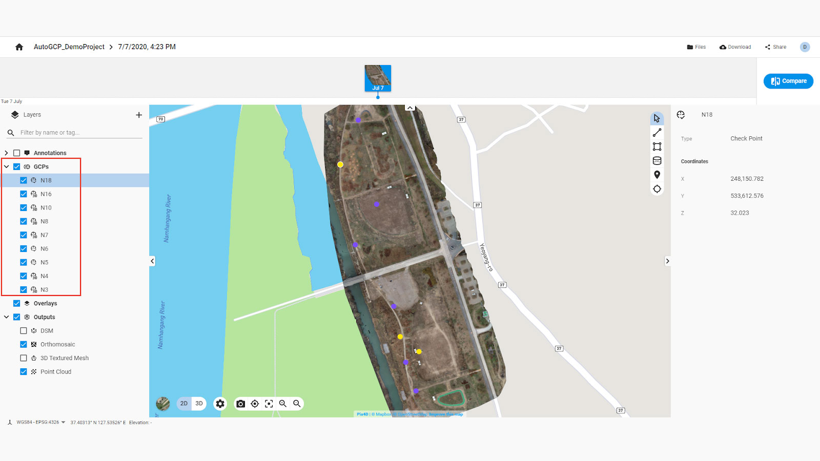
*Please note that the AutoGCPs functionality is only available in PIX4Dcloud Advanced. *
Read our technical documentation to find out more.
Smoother integration with other PIX4D software
PIX4Dcatch
Throughout 2021, we have been improving the integration of PIX4Dcatch and PIX4Dcloud to provide noticeable improvements. With PIX4Dcatch you can easily capture your area of interest with a mobile device and upload it to PIX4Dcloud to generate accurate, scaled, and easy to share 3D models.
To give you better and cleaner point clouds, sky segmentation is applied on projects with the default processing pipeline. The sky segmentation algorithm automatically eliminates noise caused by the sky, so you don’t have to do anything to get a tidier point cloud.
On top of that, with a valid PIX4Dcloud license you have unlimited processing for PIX4Dcatch projects until March 31, 2022.
Share to PIX4Dcloud from PIX4Dfields and PIX4Dreact
Easily export outputs from PIX4Dfields and/or PIX4Dreact to PIX4Dcloud with the click of a button. Seamlessly share your outputs with colleagues or teams on the ground to make your workflow faster. Sharing the results with the right people at the right time can make a difference in your work.
Other improvements worth mentioning
The user interface got better! In 2021, various UI improvements were made to give you a better user experience and make your work more effective.
Save 2D/3D view as default - save your preferred view in both 2D and 3D so every time you open PIX4Dcloud, you will see your chosen perspective. Share it with your team or stakeholders to emphasize an important area of your project. Find out more in our support documentation.
Display annotation names when hovering over them - thanks to this functionality, you can easily find annotations and better analyze your data. Read our documentation for more information.
Unit selector - you can now select the units in which your project is to be displayed - metric, imperial, or US imperial - whichever you prefer. For more info, check our technical documentation.
What’s coming in 2022?
Subscribe to our newsletter to be the first to know about PIX4Dcloud improvements.
