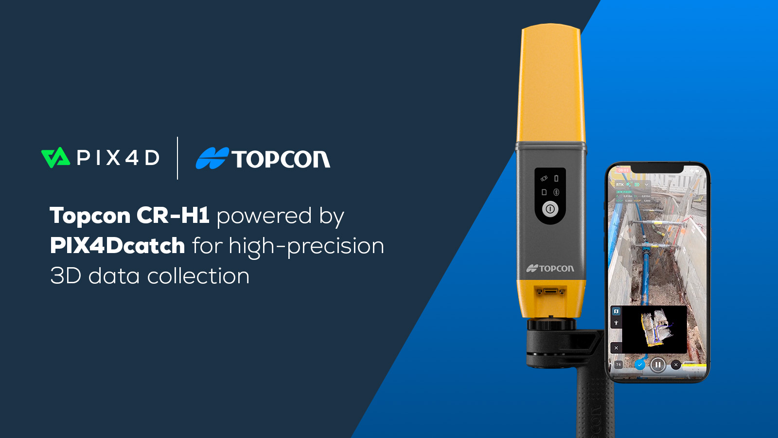
PIX4Dcatch now compatible with Bad Elf Flex
3D mobile scanning solution, PIX4Dcatch, is now fully compatible with the Bad Elf Flex® GNSS receiver. PIX4Dcatch and Bad Elf Flex enables Architecture, Engineering, and Construction (AEC) professionals to achieve accurate and efficient 3D scanning using just a smartphone.
PIX4Dcatch meets Bad Elf Flex for scalable and accurate 3D scanning
Bad Elf Flex stands out as the first GNSS receiver to offer a daily choice between L-Band and RTK accuracy. In its standard mode, it delivers 30-60 cm accuracy, ideal for most GIS applications. For projects requiring higher precision, Bad Elf Flex’s token system unlocks full RTK capabilities, achieving 1 cm horizontal accuracy for a 24-hour period. For those who need consistent high precision, the Bad Elf Flex Extreme option offers permanently unlocked RTK capabilities.
PIX4Dcatch is a user-friendly scanning application that integrates photogrammetry, LiDAR, and RTK positioning, enabling AEC professionals to create precise 3D models. By combining PIX4Dcatch with Bad Elf Flex, professionals can take precise measurements of distances and volumes with ease, facilitating detailed documentation of site conditions. The data can be easily exported to CAD and GIS platforms, making project inspection, sharing, and collaboration more streamlined than ever.
“We are excited to expand our collaboration with leading GNSS receiver manufacturers and happy to see Bad Elf Flex joining the family of devices supported in PIX4Dcatch. This joint solution will add more flexibility for customers seeking a reliable, precise, and accurate mobile 3D mapping solution for as-built documentation and verification." - Andrey Kleymenov, Chief Commercial Officer, Pix4D
“Integrating Bad Elf’s high-precision GNSS technology with Pix4D’s advanced photogrammetry software sets a new benchmark for accuracy and efficiency in geospatial data collection. This partnership ensures that users can achieve exceptional accuracy and efficiency in their fieldwork, transforming industries such as construction, utilities, environmental management, agriculture, and mining." - Larry Fox, VP of Marketing and Business Development, Bad Elf
About Bad Elf
Bad Elf specializes in designing affordable, versatile GNSS receivers, particularly for the GIS market. Their commitment to excellence and customer service has made Bad Elf a trusted partner in delivering high-precision GNSS technology.