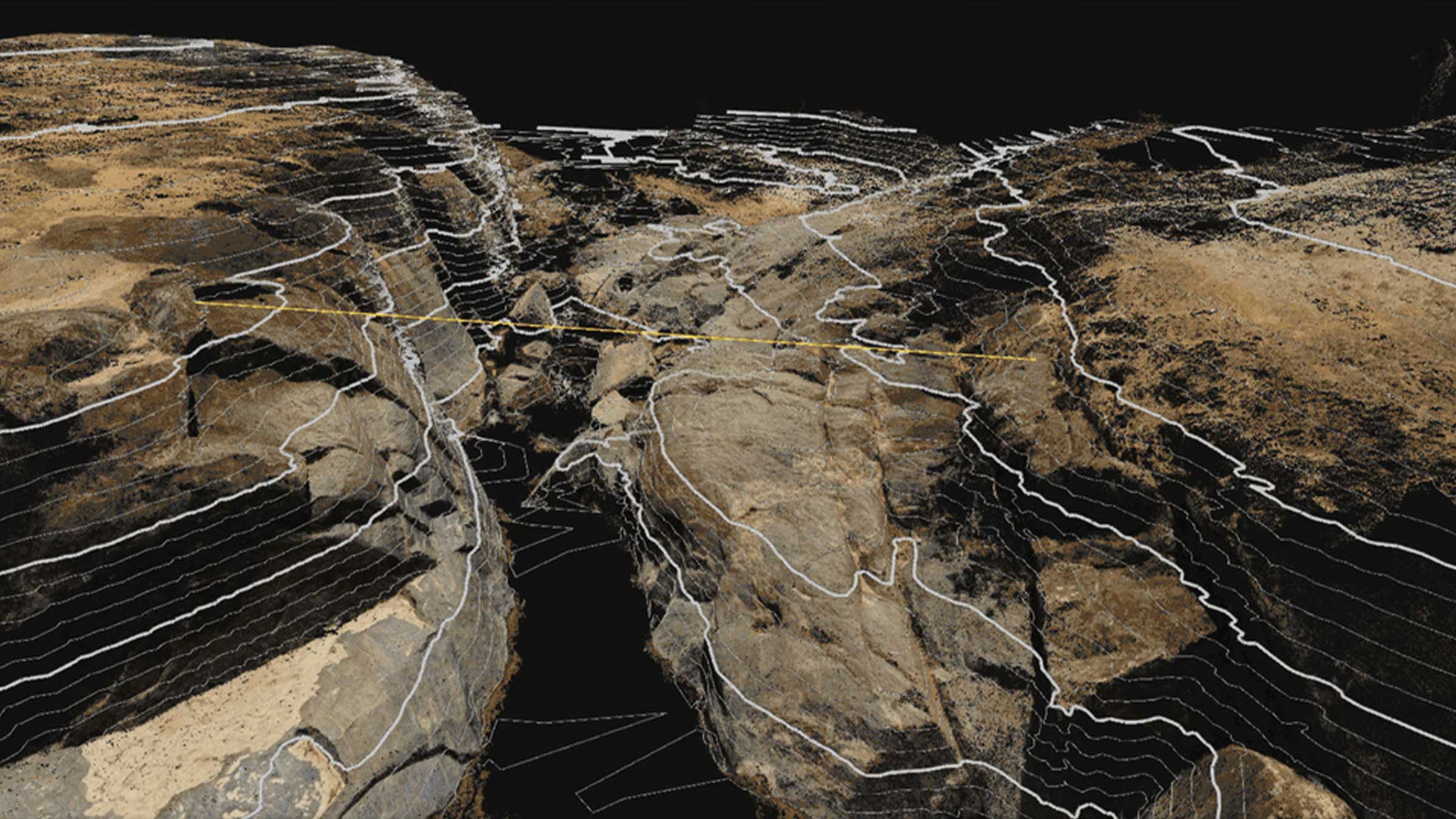
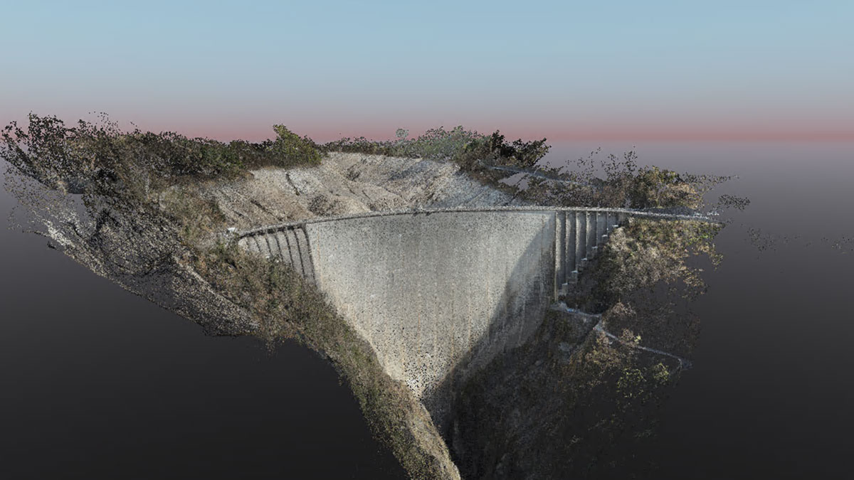
Large scale mapping survey with drones and PIX4Dmatic
The Black Arrows have specialized in large-scale, measurable drone surveys for over 8 years. They are based in Devon but operate across the UK, assisting landowners and organizations in the renewables and conservation sectors by providing high-resolution land mapping and delivering precise 2D maps and 3D models.
The maps and models are used to check important details, such as understanding the current state of the land, for planning and design projects, and to evaluate the progress or success of a project.
PIX4Dmatic for large-scale land surveying
The Black Arrows’ longstanding client, Oxygen Conservation, acquired Blackburn & Hartsgarth from The Buccleuch Estate, a large 5,000-hectare estate in the Scottish Borders. The client required a high-resolution baseline survey to support:
- Habitat mapping
- Estate management
- Planning and design of interventions
- Communication with stakeholders
The existing maps and satellite images were outdated and lacked the necessary resolution and accurate measurable data. The size of the site made traditional surveying methods impractical, and it was too large for LiDAR to be a viable solution.
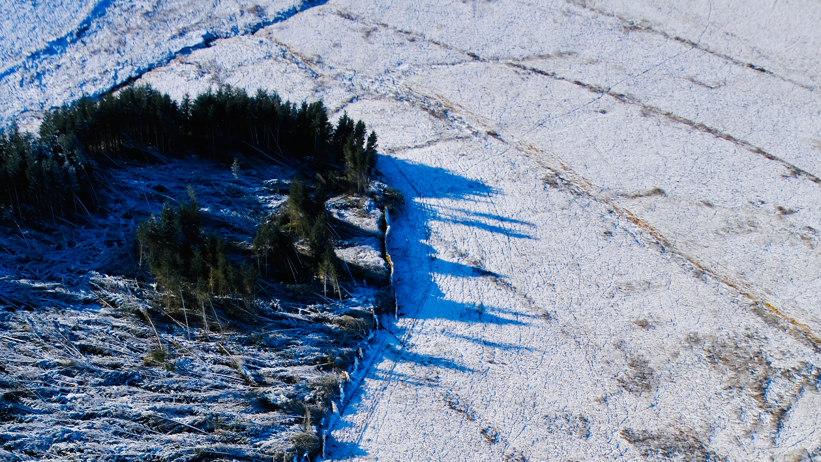
In addition to the estate’s large scale, they faced logistical challenges due to its location within the UK’s largest range, which was used for testing military drones and anti-drone systems. This required careful coordination with the Military of Defence to schedule flights around their activities. The winter operational window, with unpredictable weather conditions such as snow, wind, and rain, also necessitated multiple visits.
They found PIX4Dmatic the ideal solution to these challenges. Its ability to manage large datasets of up to 10,000 images while maintaining accuracy and detail enabled The Black Arrows to efficiently divide the project into large sub-sections. This streamlined both data acquisition and processing, making it possible to cover the vast estate with the precision required for the baseline survey.
Project details
| Location | Scotland, United Kingdom |
| User | The Black Arrows |
| Area surveyed | 12,000 ac/ 5,000ha/ 50km2 |
| Total number of images | 60,000 |
| Number of images per flight or dataset | 2,500-3,000 per flight, 10,000-12,000 per dataset |
| Software used | PIX4Dmatic and PIX4Dsurvey with follow-up work in ArcGIS Pro and QGIS |
| Hardware used | AgEagle eBee X (RTK-enabled) with S.O.D.A. 3D |
| Processing hardware | Custom PC - Win11, Threadripper PRO 7995WX, 256 Gb RAM, RTX 4090 & 3070, 4TB SSDs, 16TB HDDs |
| Processing time | 40 hours total core processing time |
| GSD | 4cm/pixel |
Survey overview and logistics
The project took five days for pre-planning and obtaining clearances. Over the course of two weeks in the field, they logged 38 hours of total flight time, flying at an altitude of 100 meters AGL, achieving a ground sampling distance (GSD) of 2.5 cm/pixel for 2D outputs and after importing into ArcGIS Pro, 4cm/pixel for the 3D outputs.
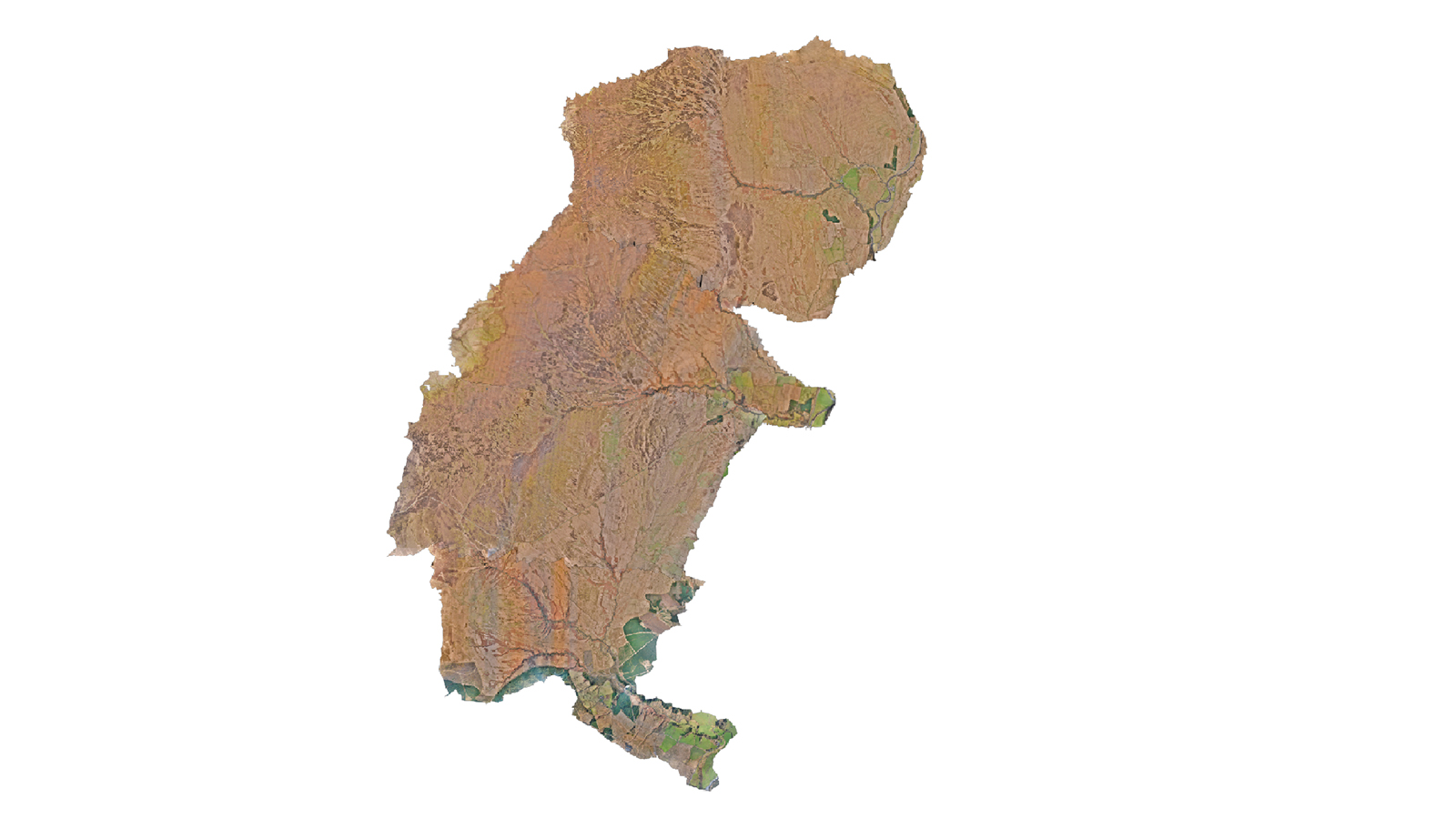
This was followed by 40 hours of core data processing, with further manual data validation to ensure the accuracy and quality of the final outputs. The workflow benefited from PIX4Dmatic’s efficient large-scale photogrammetry and PIX4Dsurvey’s seamless vectorization and analysis capabilities, enabling precise extraction of key features.
This approach streamlined the integration with ArcGIS Pro and QGIS, with PIX4Dsurvey’s compatibility allowing smooth data transfer and further GIS-based analysis. Together, PIX4Dmatic and PIX4Dsurvey provided a powerful, end-to-end mapping solution tailored for both field and GIS environments.
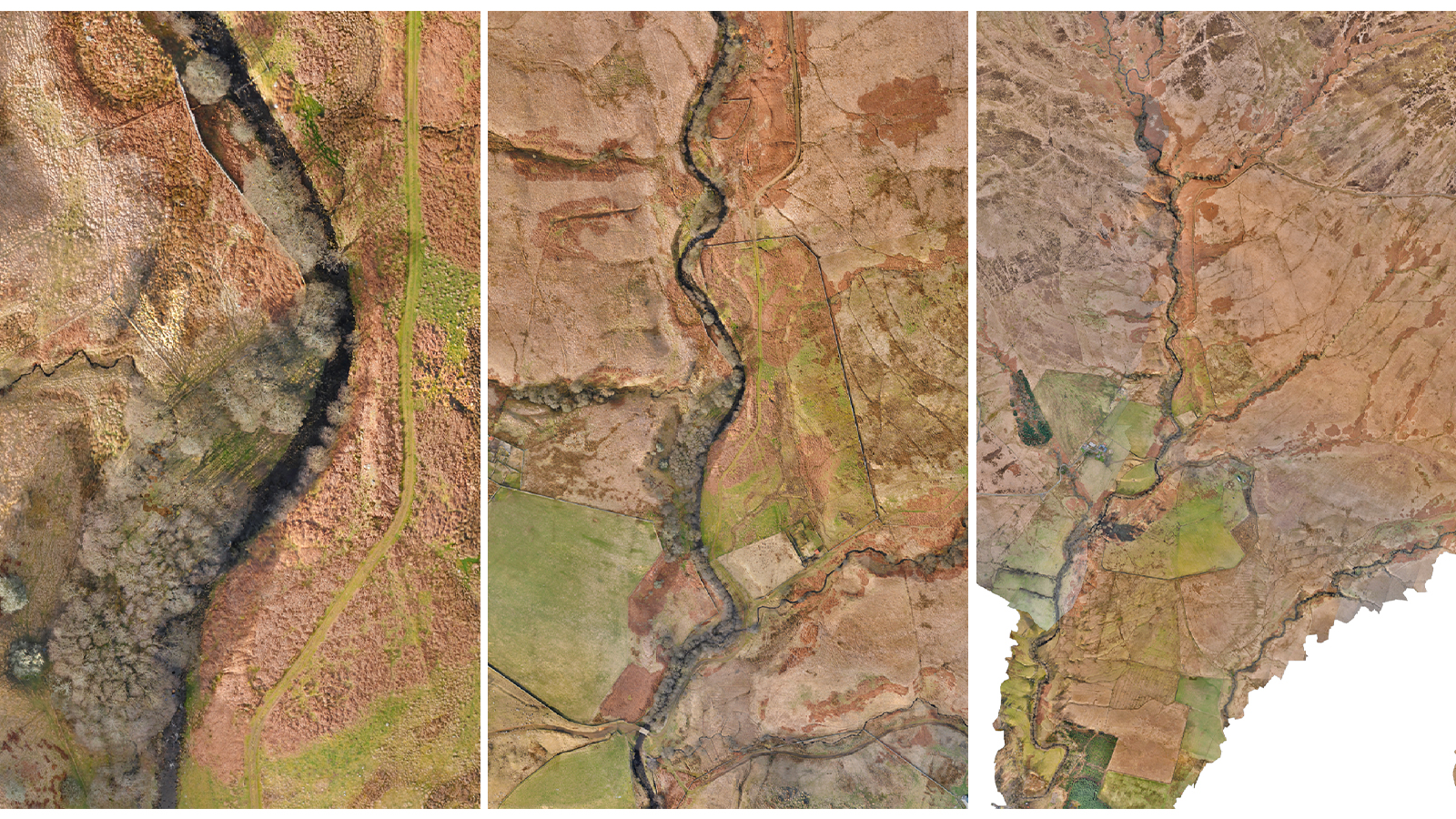
The Black Arrows chose Pix4D for this project because, after testing various competitive software, they found the alternatives to be inconsistent, unstable, and ultimately inefficient when working at scale. PIX4Dmatic's reliability and efficiency in handling vast datasets made it the ideal choice for delivering high-quality results within the project's demanding parameters.
“With the advent of more cost-effective survey-capable drones, opening up this niche, a number of desktop and web-based alternatives have entered the market. We continue to test these alternatives, in order to ensure we are delivering the best quality and value to our clients, but we still find that Pix4D remains the leader in its field, and it enables us to take vast amounts of drone-captured BIG data and generate SMART data for our clients." - Daniel Green, Managing Director, The Black Arrows

