Land and building development in Sydney
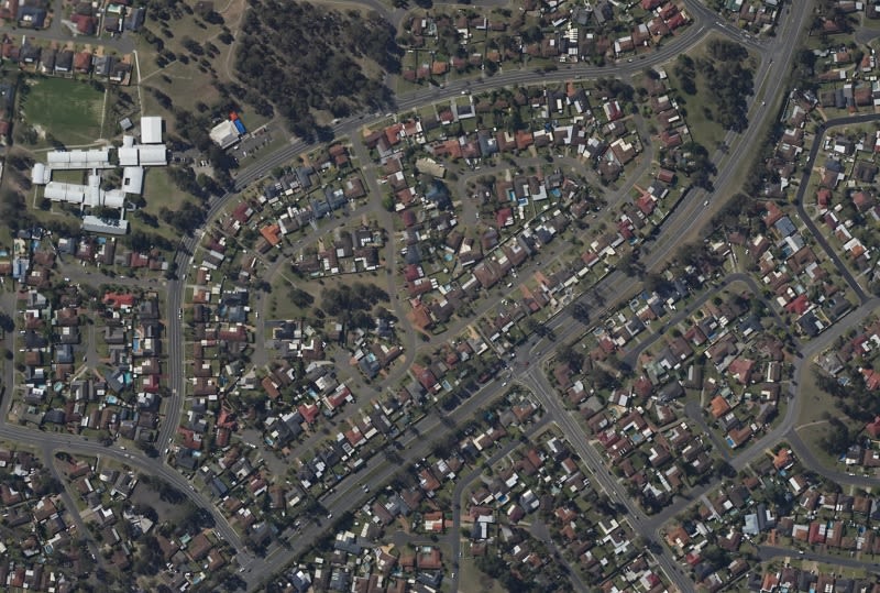
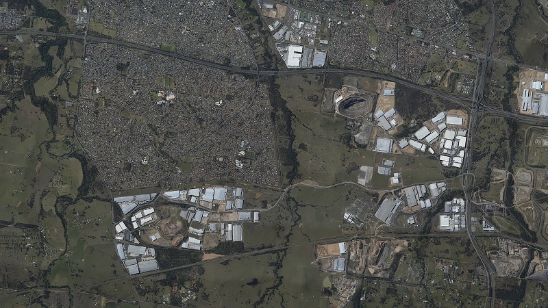
Vision Communicators' client requested a map of the development area for marketing purposes.
Brian Harvey from Vision Communicators says: "The generated orthomosaic was used by the client as a marketing tool and his priority was to have a fast turnaround. The whole project was planned, acquired and delivered within 36 hours, resulting in a very satisfied client."
Flying over the target area to acquire images only took 55 minutes, despite the location in a heavy air traffic control zone necessitating two turn backs. After the flight, the RAW image files were converted to high quality jpeg and some sharpening and noise reduction was added before importing the images into Pix4D software.
Project details
| Company | Vision Communicators |
| Country | Australia |
| Industry | Aerial Photogrammetry |
| Project date | September 2013 |
| Project members | Brian Harvey |
| Project size | 80 sq km |
| Number of images | 532 |
| GSD | 25cm |
The flight plan was managed by Flight Planner software. The images were acquired using a Cessna 182RG aircraft, flown at 6000 feet above ground level, a Nikon D800E camera with a 35mm lens with adequate settings (for f-stop, shutter speed and ISO) and the Aviatrix flight management system.
The Exif data was included in the file images, hence no need to add any geo-tags. The total processing time to generate the orthomosaic, point cloud and DSM took 6 hours.
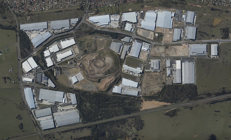
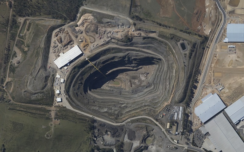
The project was executed in good weather conditions and with sufficient overlap (of 80/55) to guarantee successful processing with Pix4D software. No ground control points were requested by the client but we added 6 post ground control points from our side to achieve more accurate results.
The relative accuracy achievable with Pix4D software meant that we had no need for any ground control pre-flight and the whole project was planned, acquired and delivered within 36 hours, resulting in a very satisfied client.
Why use Pix4Dmapper?
Harvey commented: "In my case, the most important advantages are the following:
- Overnight processing and delivery next day to client
- Easy workflow: acquire, create new project, load images, set options, GO!
- Photo edit final output to required size and formats
"The automatic processing was the best solution to be able to deliver the project results with a fast turnaround. Prior to PIX4D, we were sending our image files to India, Russia and China, where the images were then passed through conventional software packages. With transfer times to and fro, and the huge amount of manual labour needed, this project would have taken about 4 weeks to conclude (and only 36 hours using Pix4D technology). In addition, in the early days we also had to supply some IMU data,and that added to the cost.
"The automatic workflow provided by Pix4D means a one-stop solution (provided that there is a good data set – I use 80/60 overlap as a general rule) where we can automate the workflow and deliver a project overnight if need be.
"One other important advantage is the opportunity to enhance the quality of projects with post ground control, providing the possibility for future sales to other segments of the market."
