90% herbicide reduction use with PIX4Dfields
Controlling dock weed (Rumex obtusifolius) has been a persistent challenge for grassland farmers. Traditional herbicide use is costly and harms crops and the environment. But with drone technology and PIX4Dfields software, precision agriculture offers a more efficient solution
The need for a targeted solution
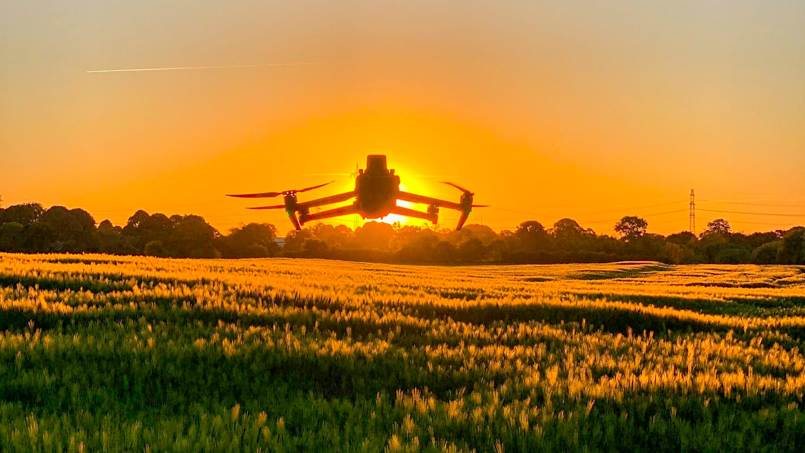
Copterinspect, founded by farmer Henry Kühl, is a German company based in Schülldorf that specializes in drone services for agriculture. Operating in Northern Germany, they offer innovative solutions such as object measurement, 3D modeling, and inspections using RGB and thermal cameras. Their focus is on revolutionizing various agricultural applications with drone technology.
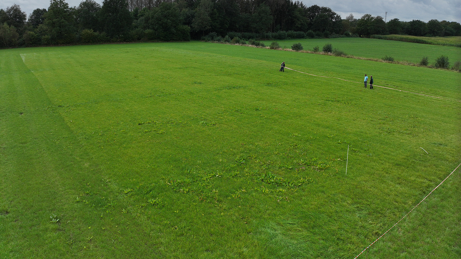
The Problem: Traditionally, managing dock weed in grasslands necessitated applying herbicides to the entire area, a method that is both costly and detrimental to the grass crop. The expenses associated with such herbicide treatments are substantial:
Lodin: €40 per hectare Proclover: €65 per hectare Ranger: €70 per hectare Simplex: €120 per hectare
The Solution: Spot spraying—applying herbicides only to areas where weeds are present—can reduce costs to as low as €5 per hectare, resulting in savings of at least €35 per hectare in the most economical scenario. With PIX4Dfields, Henry was able to decrease unnecessary herbicide usage by 90%.
PIX4Dfields' Magic Tool for targeted weed spraying
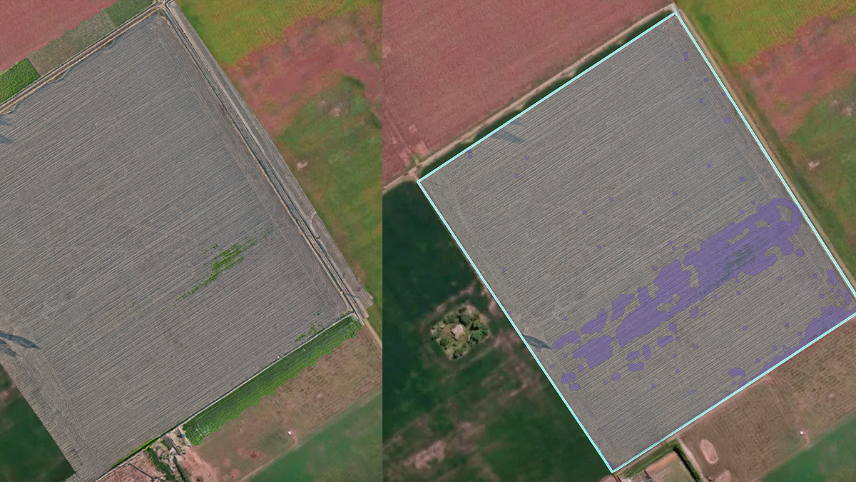
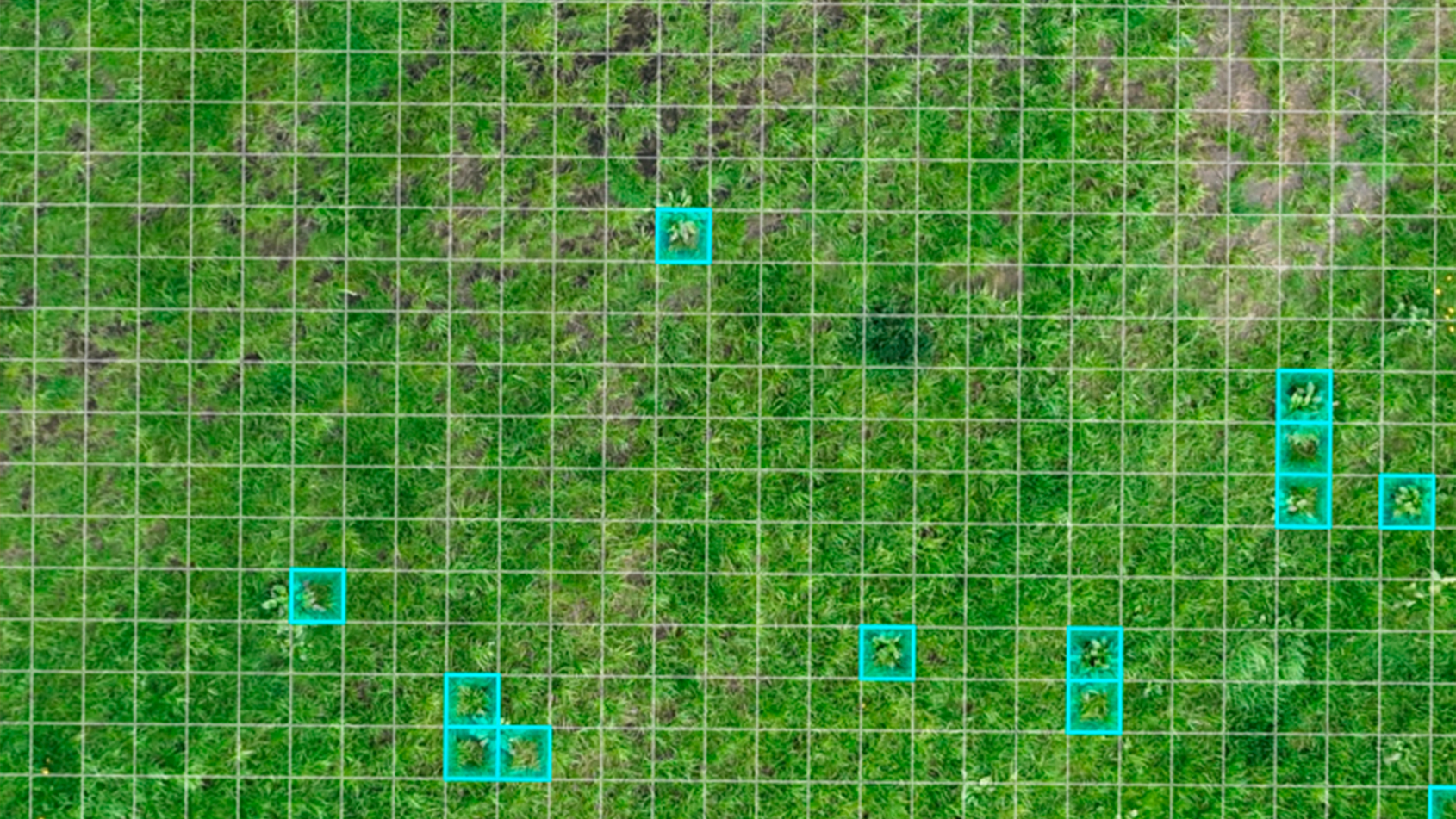
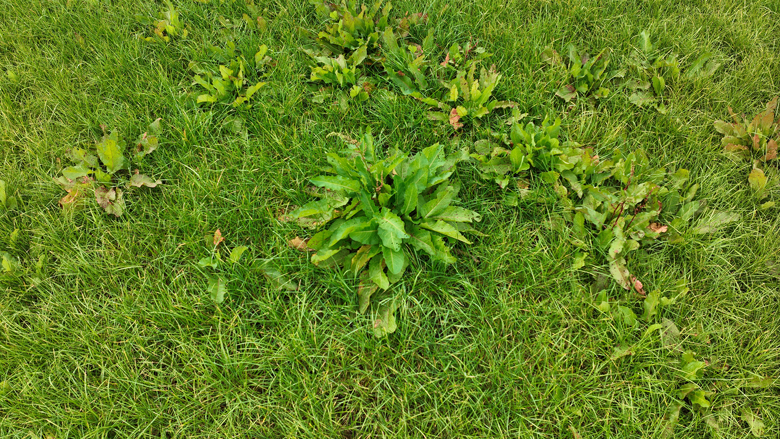
Henry had already been using PIX4Dfields for creating prescription maps for fertilization. Inspired by the capabilities of the software's Magic Tool, he observed how dock weed appeared larger in images compared to grass and realized that he could use the Magic tool to identify and map dock weed infestations.
The project in detail
The project involved mapping 55 hectares of grassland divided into 13 fields using PIX4Dfield’s fast processing tool, which was completed in less than a day (10 hours). Using high-resolution images and the Magic tool, Henry precisely identified dock weed infestations. He then used PIX4Dfields to create application maps for spot spraying, which were easily transferred to the tractor's terminal for targeted herbicide use. To keep records, Henry generated a detailed PDF report in PIX4Dfields and shared his project via PIX4Dcloud.
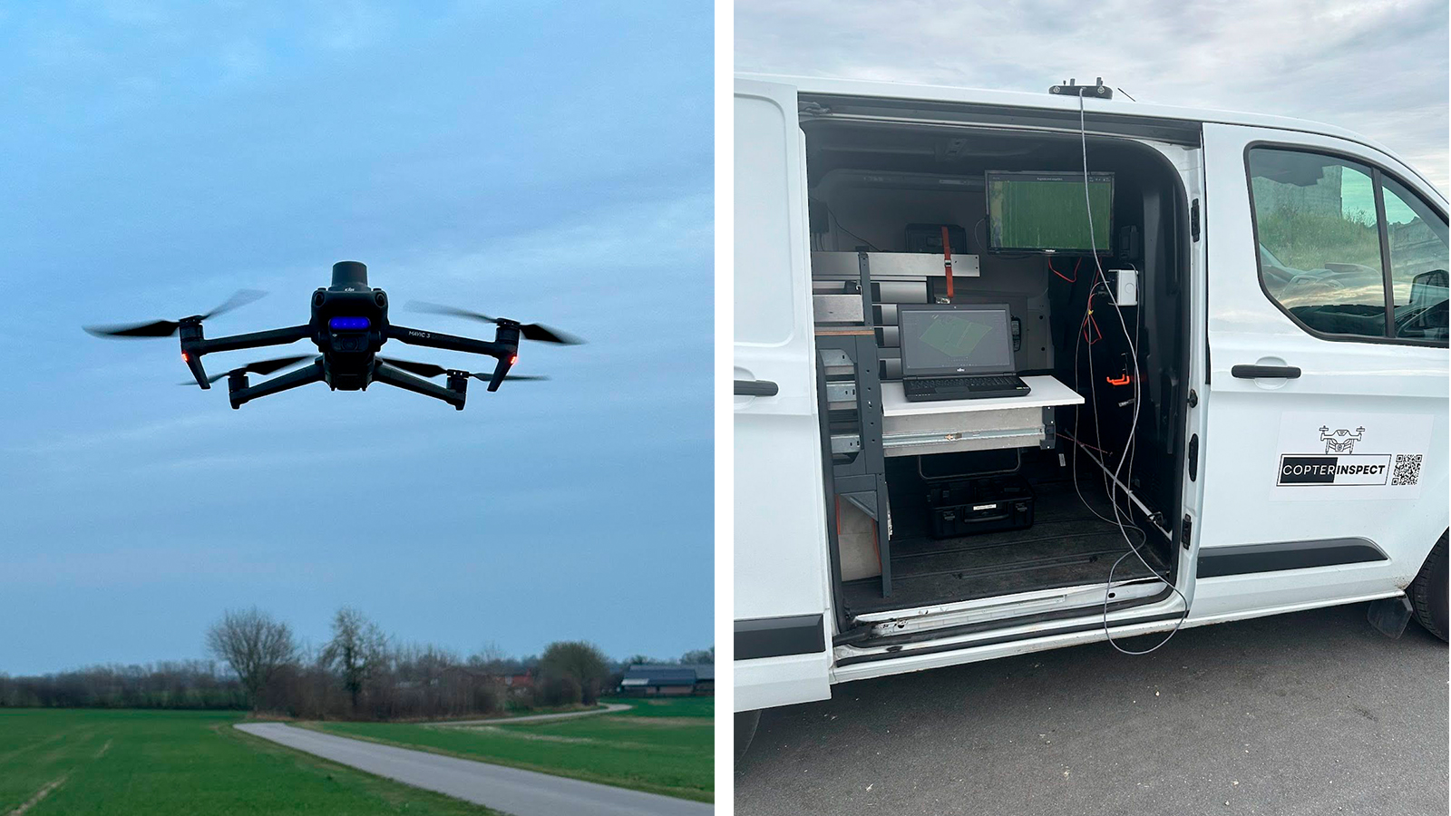
"Saving plant protection products—that's what we all want. Not only is it economically beneficial for the farmer and as a service for my company, but I'm happy to make the world a little bit better with my capabilities."— Henry Kühl, Managing Director of Copterinspect
| Location | Germany |
| User | Henry Kühl |
| Project duration | 10 hours |
| Area surveyed | 55 hectares |
| Software used | PIX4Dfields |
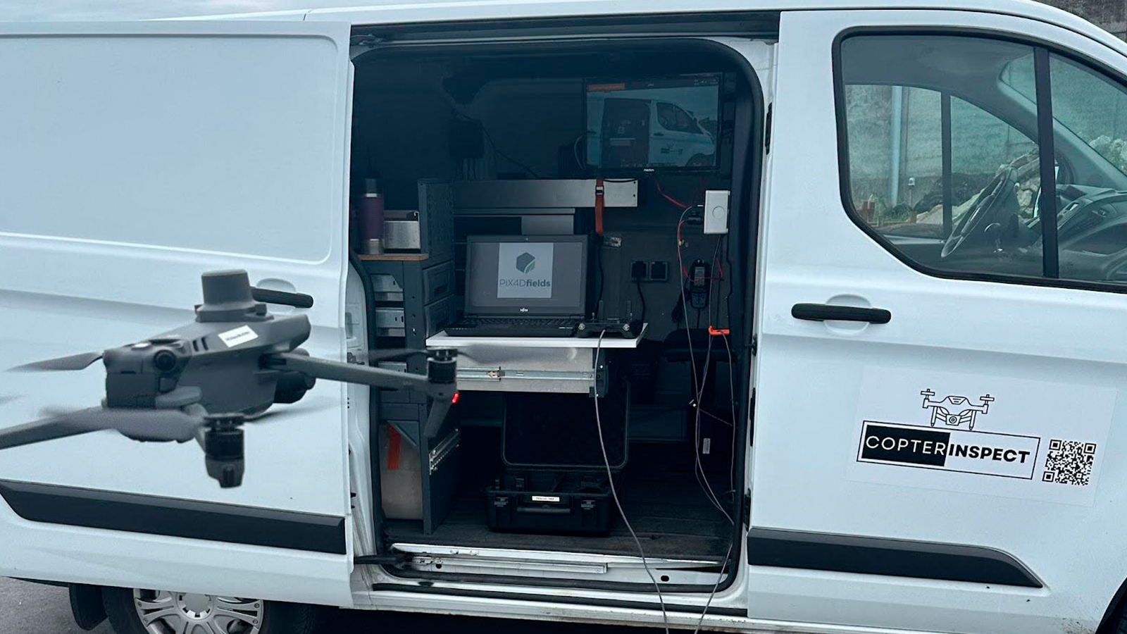
| Hardware used | DJI Mavic 3 Multispectral with RTK, 7 batteries, power station, charger 128GB SD storage |
| Processing hardware | Laptop: Fujitsu Celsius Core i7 |
| Images captured | 5000 |
| GSD | 0,9 |
Achieving significant cost savings and environmental benefits
By adopting this targeted approach, Henry was able to reduce herbicide usage by 80–90%. He managed to save at least €25 per hectare, depending on the herbicide used, along with significant time savings.
As a user, Henry found PIX4Dfields to be simple, understandable, fast, and structured, with everything very well explained. He highlights that hardly any prior knowledge was needed. Without Pix4D, he claims he wouldn’t have started the project or been able to act as a service provider.
“PIX4Dfields is made for anyone who is involved in precision farming as it allows processing satellite and drone images equally and offers detailed application maps for all machines very quickly.” Henry Kühl, Managing Director of Copterinspect
As the agricultural sector continues to face challenges related to sustainability and efficiency, solutions like those offered by Copterinspect and PIX4Dfields are poised to play a crucial role in shaping the future of farming.


