Introducing Dronelink’s integrated uploads to Pix4Dcloud
Pix4D and Dronelink are announcing direct uploads from Dronelink's app to Pix4Dcloud. This partnership will help take Dronelink mapping to the next level with Pix4D photogrammetry expertise.
About Dronelink
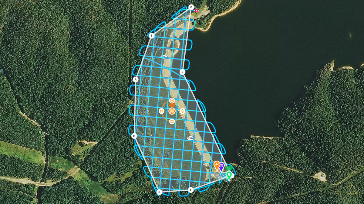
Dronelink provides a flight app with a range of service options to automate drone flights to best suit the needs of a project. The innovative app offers cross-platform data capture for DJI and Parrot drones. This includes web-based mission planning, 3D mission previews, terrain following and a host of mission types for both horizontal and vertical mapping.
About Pix4Dcloud
Pix4Dcloud is Pix4D’s online platform for drone mapping, progress tracking and site documentation. Image data can be processed, visualized and shared from anywhere and any device. This cloud service does not need user computer power for processing, which creates the opportunity for users to work on multiple projects simultaneously as the cloud gets to work. Accurate 2D and 3D models are ready in no time. Annotations help add valuable information to share with stakeholders to improve the communication and reporting within the project team.
Missions completed using Dronelink automatically catalogue each photo taken, removing the need for manually sorting files and folders to upload the desired dataset.
The process is simple: press one button to start the mission, and later retrieve the data from the SD card. The data can now be directly uploaded to Pix4Dcloud without additional steps necessary as it is automatically handled through the Dronelink interface. This means less time spent managing data and more on getting the right outputs.
Try Dronelink and Pix4Dcloud now to plan your next mission and seamlessly get 2D and 3D results.


