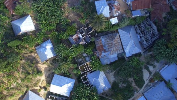
Drone mapping to improve lives in Zanzibar
Traditional methods of mapping with planes or satellite images are prohibitively expensive. By contrast, drones are cost-effective and can be flown by citizen drone pilots. Since 2016, the Zanzibar Mapping Initiative has been mapping the archipelago with drones and Pix4D.
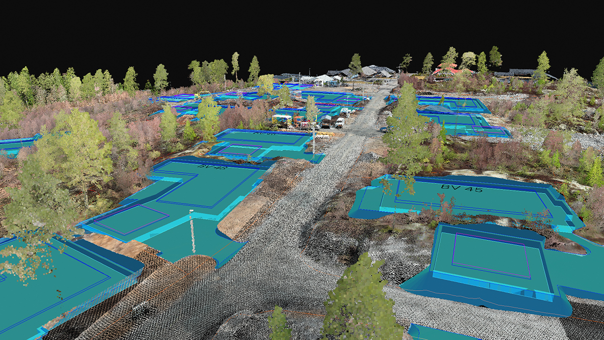
To make the project more manageable, the 1,400 km² island was divided into 3 km² zones. Each zone was mapped then processed separately in Pix4Dmapper to generate an orthomosaic.
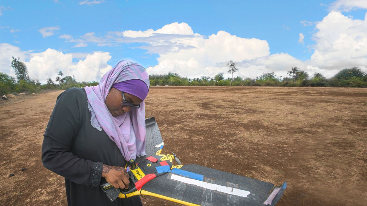
Drone mapper Khadija Abdulla Ali commented: ‘I was working 24 hours a day taking pictures, processing the data. My family wondered what I was doing it for, but it's so worth it... We are doing this project to make a map for everybody.’
Dr Muhammad Juma, Zanzibar’s Director of Planning commented that the population is growing at around 4.5% every year. “It has fundamental demands [on] housing, infrastructure, but the pace of the demand and our capacity to deliver that service is completely unbalanced… We have a lot of opportunities for using this data. In terms of economics, we can plan better. In terms of security to tell people where there is a flood, and in terms of service also. ’
The maps can help resolve some of the pain points of growing communities by illustrating the issues and demonstrating to authorities the scale of any problems.
The BBC estimates that this area is the largest ever surveyed and mapped using drones.
The project is far reaching. Dr Muhammad commented: "We want to get to the stage where we can plot our hospitals on the map, where we can issue building safety certificates, where we can tell people where the local schools are.
"We might even be able to start taxing people on their property because we have a better sense of who owns what now."
| Lead image courtesy of World Bank/Zanzibar Mapping Initiative |