Drone mapping for rice yield estimation in China
As the global population continues to increase at a faster and faster pace, producing and providing enough food for everyone becomes a challenge. With the recent pandemic, maintaining standard levels of crop production in China has been challenging, which has affected the national economy and people's livelihood.
The impact on growers’ income due to a reduction in crop growth and production can be felt beyond the end of a growing season. Traditional statistics and monitoring methods don’t meet the requirements of modern-day crop production because of inefficiencies and inaccuracies. This prevents growers from making fast decisions based on reliable information. With drone mapping, farmlands can be turned into digital and practical maps, which can help better monitor crop growth and predict crop yields.
Project details: estimating rice yields
| Location | Zhijiang City, Hubei Province |
| Institutions | Survey office of the National Bureau of Statistics in Hubei Union Space |
| Hardware | DJI Matrice 200 Parrot Sequoia camera MicaSense RedEdge-MX |
| Software | Pix4Dmapper |
| Project size | 14 km2 |
| GSD | 10 cm |
Since 2017, the Survey office of the National Bureau of Statistics in Hubei, and the GIS company Union Space, worked on a project for drone mapping yield estimation.
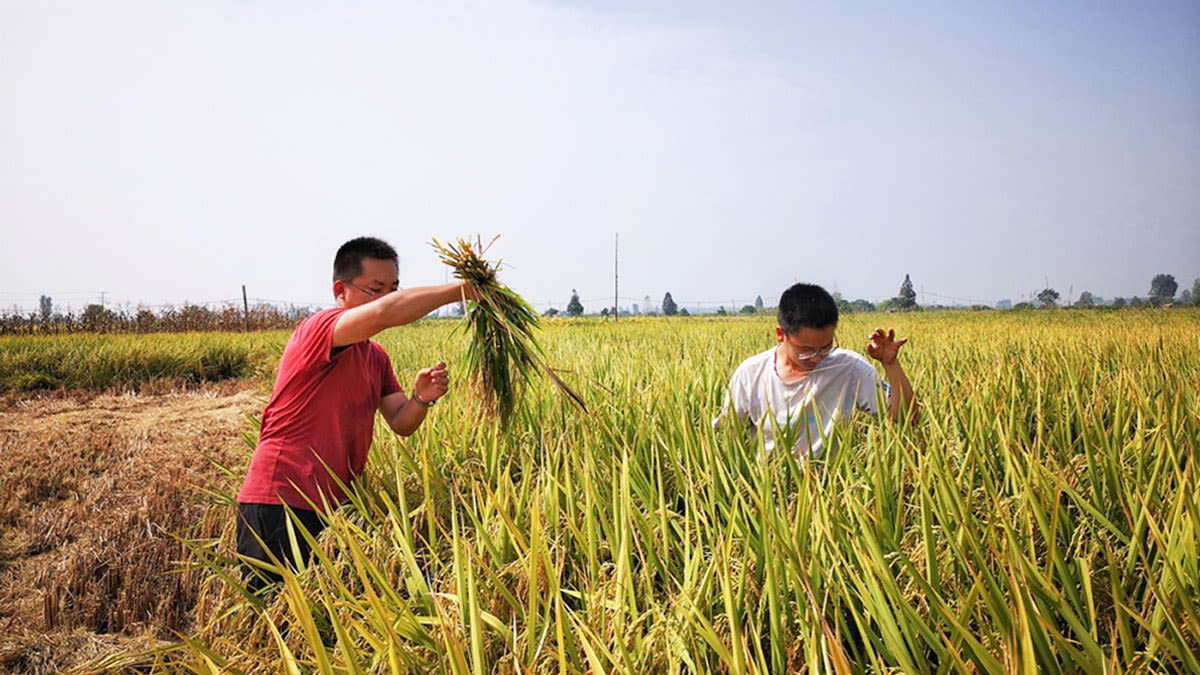
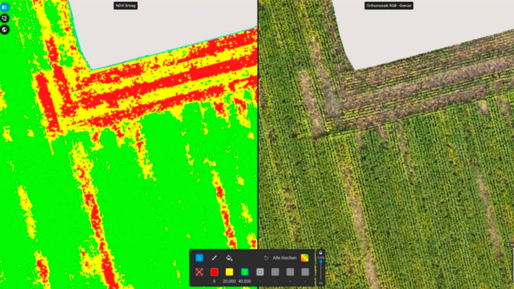
“We start the project by flying the drone, mounted with a multispectral camera, and collect the images of rice fields,” says Qiao Qian, Project Manager at Union Space. Rice goes through three growth stages: vegetative stage, reproduction and grain filling stage, and maturation stage. Each stage helps identify critical periods during the crop life cycle. Hence, the team collects drone images, which they use to produce NDVI maps throughout the growing season.
Why is tillering important for yield prediction?
The vegetative growth phase is characterized by tillering, a gradual increase in plant height, and leaf emergence at regular intervals. Tillering is an important trait in rice, and other graminaceous crops like wheat, because it correlates with the final spike number per square meter and plays an important role in determining grain yield. When fewer tillers are produced, a smaller population is formed, resulting in yield reductions due to a lower density of spikes1.
"The crop yield estimation requires very high precision of the multispectral cameras. After comparing several multispectral cameras on the market, we decided to use Sequoia and RedEdge", says Qiao Qian.
Optimal conditions for image collection
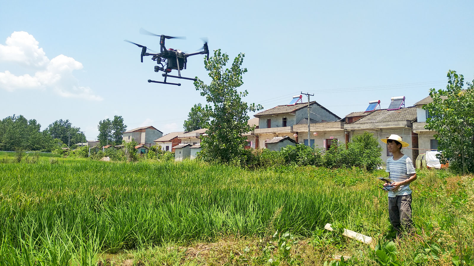
The image collection is usually carried out between 9 a.m. and 5 p.m., and according to the team’s experience, the ideal time is from 10 a.m. to 2 p.m. “Time from 10 a.m. to 2 p.m. has the best flight and image capturing conditions, and data accuracy is higher,” points out Qiao Qian. One of the main challenges when collecting images is the weather. As an example rain increases the chance of getting blurred images and low-quality data. “Rain affects data accuracy, so it’s crucial to know the weather conditions in advance,” says Qiao Qian.
Developing the rice yield model
During every rice growth stage, the team captured up to 8,000 RGB images and 30,000 to 40,000 multispectral images. These images are imported into Pix4Dmapper to generate NDVI maps.
- Qiao Qian, Project Manager, Union Space
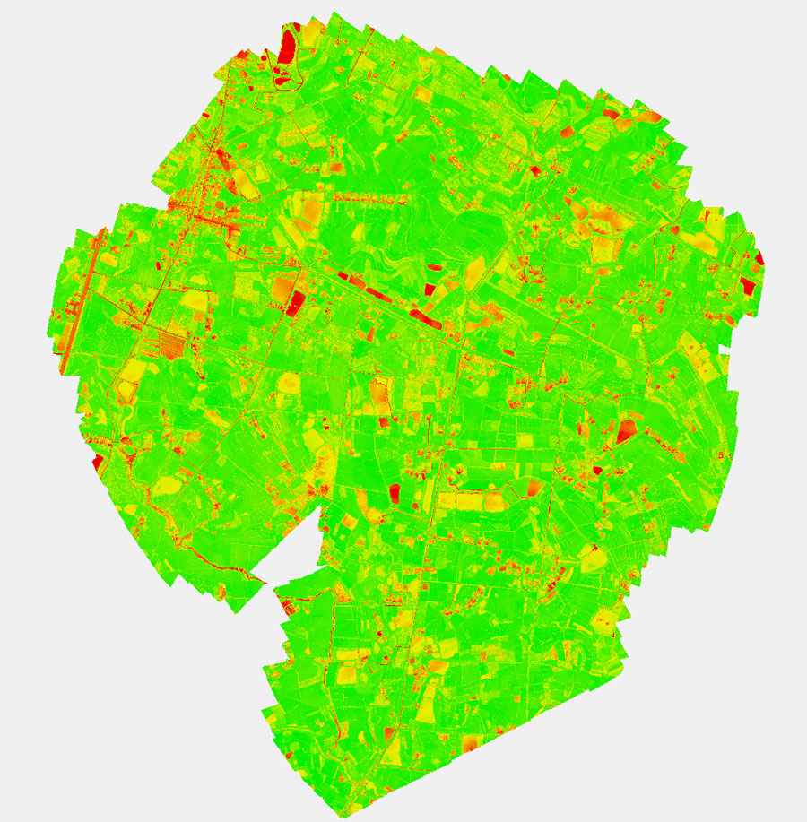
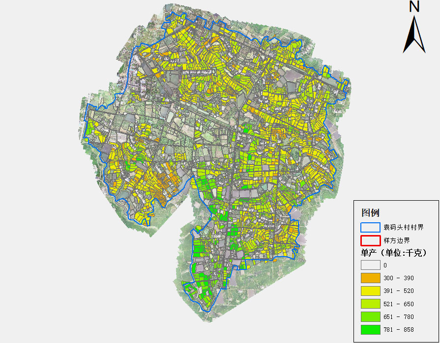
The NDVI maps are then imported into the rice yield model developed by Union Space. Combined with temperature, precipitation, fertilizer, and other factors, the team creates a rice yield distribution map.
For this project, the team used a computer with an i7 6700k CPU and 32GB of RAM. For one village, it took about one week to process the data. “Pix4Dmapper can automatically perform radiometric calibration on multispectral images, which greatly reduces our workload,” says Qiao Qian, “In addition, the radiometric calibration function will significantly improve the final accuracy of the results." The team will use the real measured data of the current year to calibrate the yield estimation model.
The value of yield estimation
The final results submitted by Union Space include the rice planting changes, NDVI maps, and yield distribution maps. This analysis is of great value for the Statistics Bureau, but also for growers, service providers, agronomists, and insurers. Based on this analysis, stakeholders can implement a more targeted fertilization and spraying strategy, and ultimately achieve increased yields.
Qiao Qian has confidence in the value and prospects of drone mapping for agriculture: "Our rice yield estimation model is suitable for most varieties of rice and different climate conditions. For evaluating the market price of the crops, it is significant to know the yield in advance. We will continue with the same methodology in 2020,” concludes Qiao Qian.
References
| 1"Optimizing plant density and nitrogen application to manipulate tiller growth and increase grain yield and nitrogen-use efficiency in winter wheat, PeerJ", Back to top |
