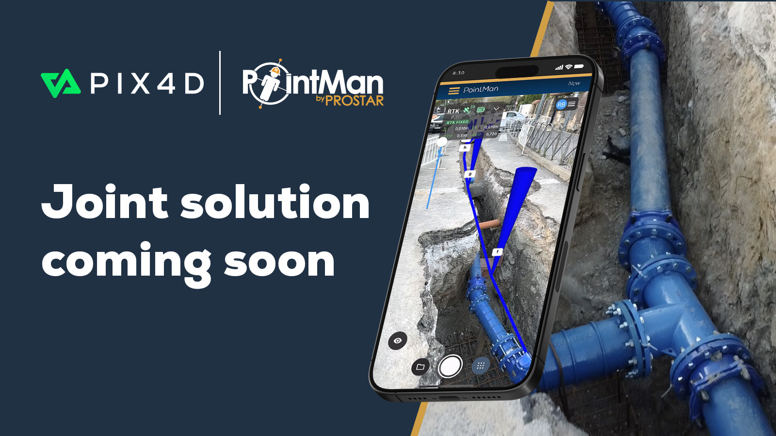
Accurate reality capture: PIX4Dcatch & Topcon's CR-H1
In a significant advancement for geospatial professionals, Pix4D announces that PIX4Dcatch now supports Topcon Positioning Systems' CR-H1 GNSS receiver, enhancing handheld 3D scanning with precise georeferencing capabilities.
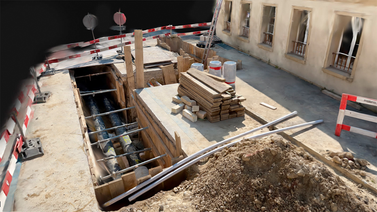
PIX4Dcatch operates on iPhone and iPad Pro devices equipped with LiDAR, facilitating detailed 3D model creation. When paired with Topcon's CR-H1 GNSS receiver, the system captures georeferenced data with high precision. The combined setup offers a lightweight, single-operator solution suitable for modern field workflows.
“This is the first joint solution to come out of our collaboration with Topcon, and it marks a meaningful step toward making high-precision 3D data capture more accessible globally. By combining Topcon’s trusted GNSS hardware with PIX4Dcatch and our advanced data processing algorithms, we’re delivering a powerful, mobile solution for professionals in utilities, infrastructure, and construction." - Andrey Kleymenov, CEO at Pix4D
This integration reflects Pix4D's commitment to supporting partner developments and delivering solutions that prioritize accuracy and precise georeferencing. Professionals in utilities, infrastructure, and construction can benefit from this compact tool designed for efficient field data collection.
The CR-H1 is the first solution resulting from the strategic collaboration between Topcon and Pix4D, initiated earlier this year. This partnership emphasizes both companies' focus on developing practical innovations that simplify accurate 3D data capture in the field.