PIX4Dmatic assists with sustainable urban development
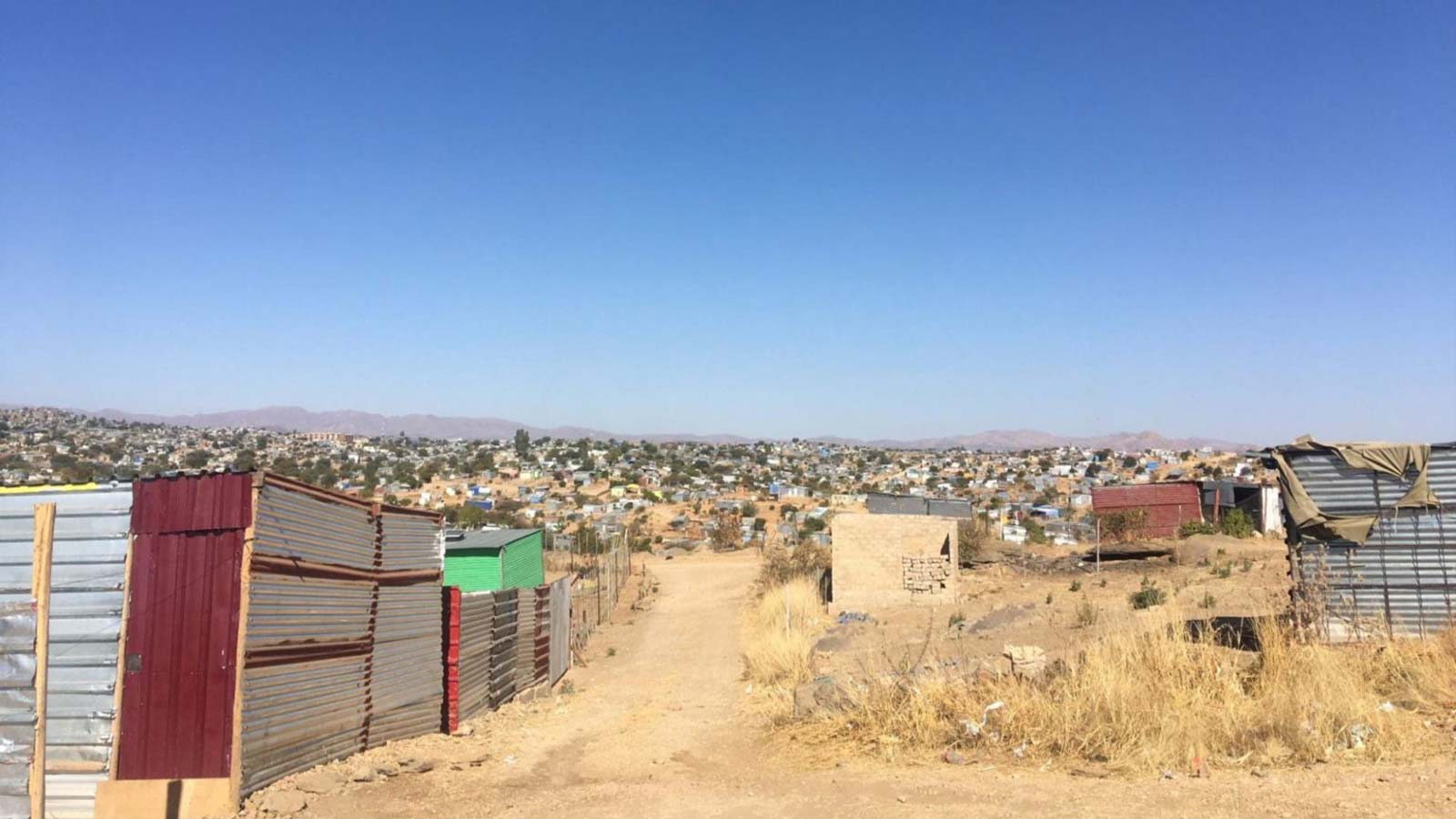
Since gaining independence in 1990, Namibia has seen an increase in informal settlements as the country transitions towards urbanization. This shift has brought challenges such as the need for infrastructure development, improved governance, and expanded housing opportunities. To address these issues, an ambitious project has been launched to assist Namibia’s transition towards sustainable city living.
The key players
Namibia Flying Labs is a knowledge hub that focuses on solving community challenges and needs through technology and drones for good, with the aim to shift power to locals. GIZ is a German organization working globally to improve living conditions and promote sustainable development.
Flying Labs Namibia is currently assisting GIZ with an initiative aimed at addressing the complex challenges of urbanization in Namibia: the “Inclusive and Sustainable Urban Development” project.
The project: Inclusive and Sustainable Urban Development (ISUD)
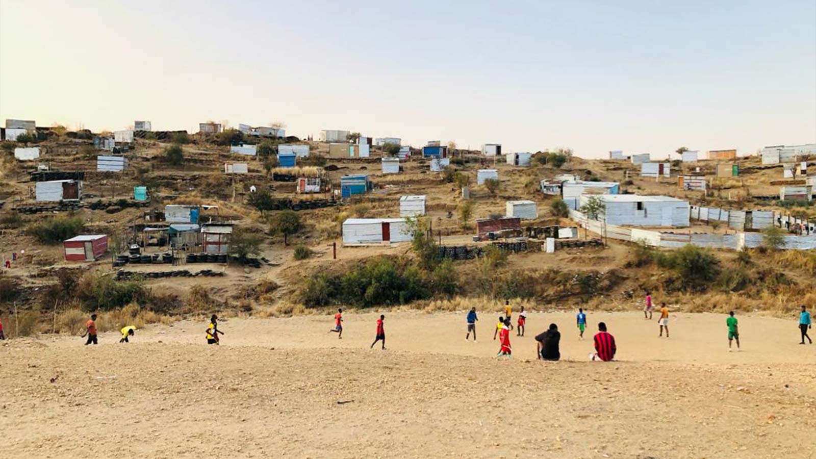
The ISUD project aims to improve the living and housing conditions for the residents of informal settlements, developing them into liveable neighborhoods. The objectives include engaging the communities in settlement planning, ensuring land rights, and implementing measures that benefit the neighborhood as a whole.
We spoke to Flying Labs Namibia about their use of Pix4D and photogrammetry for this project. A key aspect of the project is to improve urban planning and enable informal communities to secure land tenure and access better infrastructure; which is where drone mapping comes into play. With the help of information provided by digital mapping, they want to provide improved basic infrastructure.
Drone mapping for sustainability
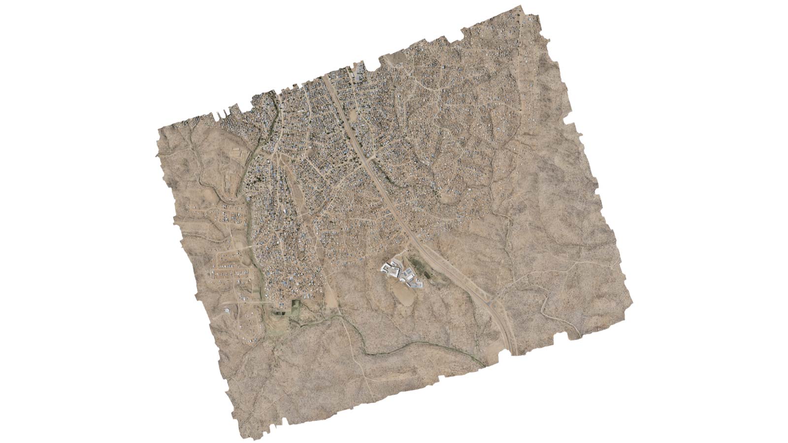
Using drones and photogrammetry, Namibia Flying Labs captured high-resolution aerial data of Brendan Simbwaye A Informal Settlement, located in the country’s capital Windhoek. Using drones turned out to be critical for the project, providing up-to-date socio-economic and spatial data.
They captured comprehensive aerial imagery, processed in PIX4Dmatic to generate an informative orthomosaic map; used for sustainable development, planning, and addressing informal settlement challenges. It also allowed the City of Windhoek (CoW) to make informed choices for the project, by providing them with accurate and up-to-date information of the settlement's spatial layout, and infrastructure.
Mapping challenges
They had to get consent to fly in the capital city and on top of that, in the vicinity of an airport. Community engagement was key in resolving this issue. Namibia Flying Labs spoke to the community leaders together with representatives from GIZ and the City of Windhoek, to explain the nature of drone operations— when and where they will be conducted, and who to contact in case of an emergency.
A poster relaying the same information was also created and distributed to community members. With the help of the City of Windhoek, they conducted a rigorous risk assessment along with a solid risk control plan, eventually acquiring the necessary approvals — this whole process took about 8 months!
Project details:
of images1054 images, each at 42MP resolution
per dataset Flight 1: 211, Flight 2: 613, Flight 3: 230
time 5h 45m 11s
Mapping specifics
Once they got approval, the process was quick and efficient. They mapped the 540-hectare area within 5 hours. They used a WingtraOne drone to capture the data over 3 separate flights, capturing over 1000 images in total with a GSD of 2.6cm/px. They found the ability to optimize internal camera parameters and correct images for lens distortion and camera angle particularly useful, guaranteeing an accurate orthomosaic. They also appreciated the intuitive user interface and the stability of the software. PIX4Dmatic allowed them to process the large dataset of over 1000 images, each at 42MP resolution.
Drone mapping with PIX4Dmatic enabled Namibia Flying Labs to generate an informative map to assist with transforming informal settlements into liveable neighborhoods. This facilitated a participatory planning process, providing locals with a map to actively engage in the planning, enabling an integrated urban development approach.
Despite handling large datasets, PIX4Dmatic maintained stability without encountering glitches or crashes. The fast processing time and a wide array of exportable formats were outstanding! - Virginie Uwimana (Coordinator), Namibia Flying Labs


