Efficiency and flexibility with PIX4Dcloud's latest features
The latest updates to PIX4Dcloud have brought significant advancements in functionality, enhancing both efficiency and flexibility for geospatial, construction, and engineering professionals. These new features aim to streamline workflows, improve accuracy, and facilitate better communication among team members and stakeholders. Let's dive into the key additions and improvements that make PIX4Dcloud an indispensable tool for your projects.
DXF export: seamlessly integrate with CAD software
One of the standout features in PIX4Dcloud is the ability to export annotations as DXF files. This capability is crucial for surveyors and engineers who need to transition their work seamlessly into CAD software. The DXF export retains the project’s coordinate system and Z values, ensuring that all annotations are preserved as layers within the file. This allows users to "CADify" their 3D scenes, facilitating a smooth workflow from 3D photogrammetry to detailed CAD development. Additionally, the flexibility of the DXF export allows for multiple or single annotation layer exports, ensuring that users can organize their data precisely as needed.
How to export DXF files:
- Multiple Annotation Layer Export: click the icon at the top of the hierarchy to generate a single DXF file with all selected layers.
- Single Annotation Layer Export: click the icon on each layer to generate individual DXF files.
SHP export: enhanced GIS integration
For GIS professionals, the SHP export functionality is a game-changer. Users can export their annotations into Shapefile format, compatible with most GIS software. This export maintains the annotations' Z values and provides files in both WGS84 and the project coordinate system, making it easier to integrate and analyze geospatial data. Like DXF export, SHP export also retains the layer structure and naming, ensuring that each annotation layer is preserved as a unique element in the SHP files.
For detailed guidance on managing annotations, watch this video:
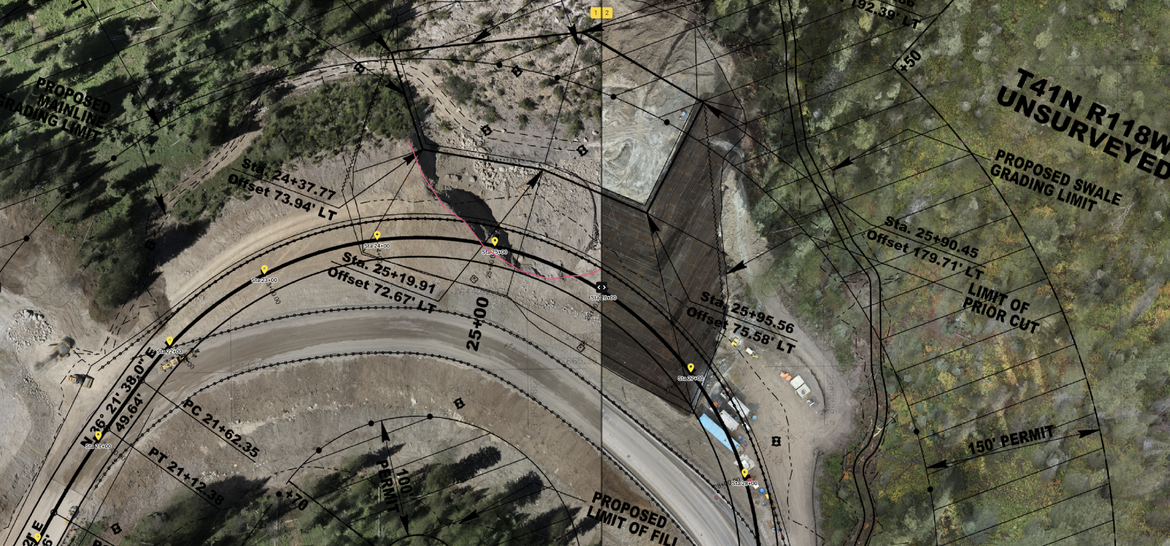
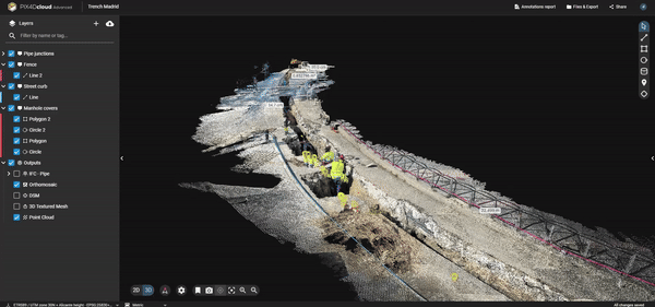
DXF and IFC overlay: compare design plans with reality
The Design Overlay tool in PIX4Dcloud Advanced allows users to import and overlay DXF design plans over their 2D maps or 3D models. This feature is particularly useful for verifying that projects are proceeding according to plan. By comparing the as-built model with the as-designed plans, users can quickly identify discrepancies and make necessary adjustments.
See our tutorial video on how to compare as-built designs in PIX4Dcloud:
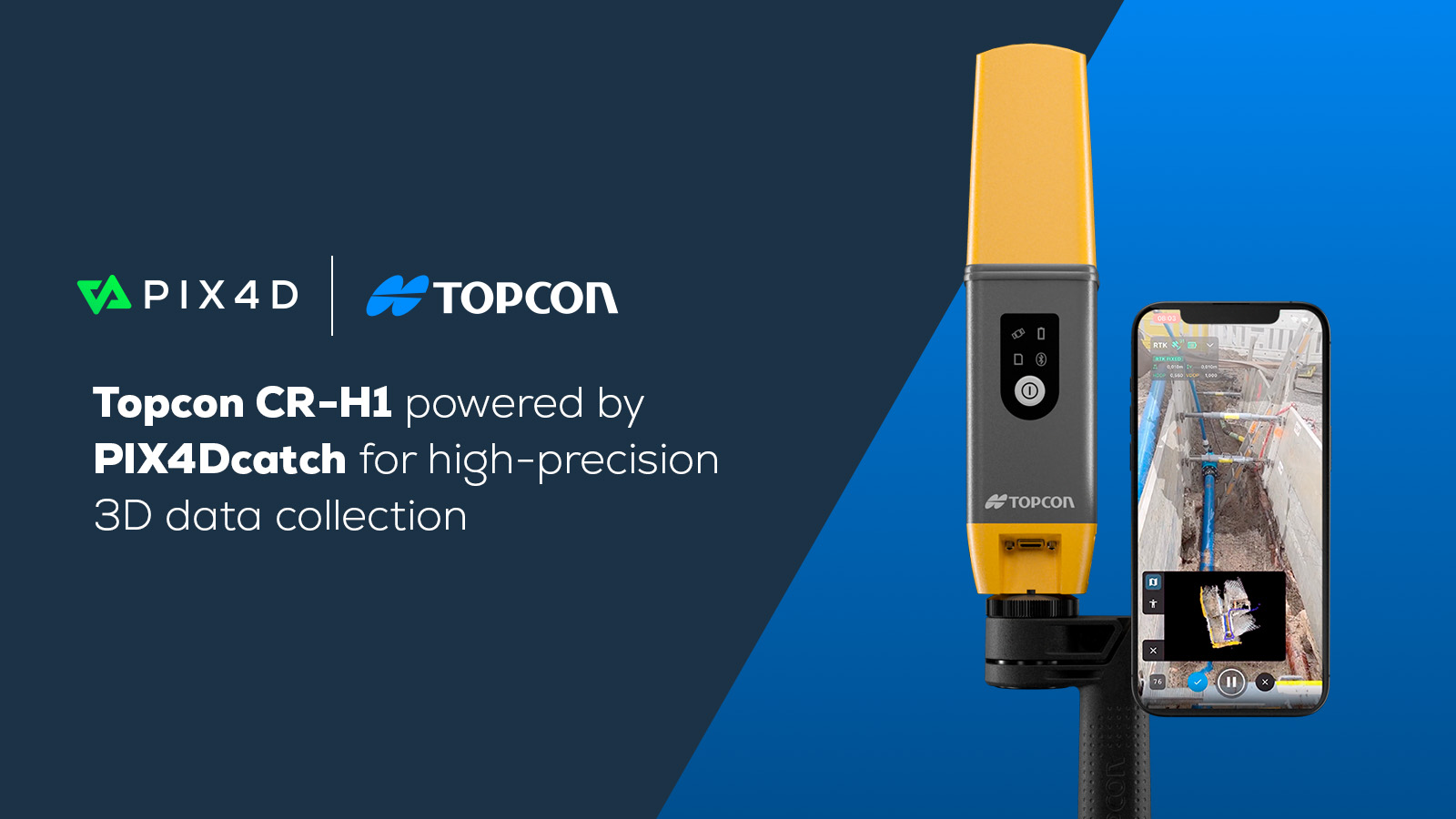
Now, with PIX4Dcatch, you can view your design overlays (IFC, DXF, or SHP) in augmented reality. This not only allows you to see as-builts in real-time while verifying with as-designed plans, but also improves efficiency and helps to quickly identify potential errors that could affect the construction budgets and timelines. For trenches, this tool can be very helpful to document and verify once closed trenches, so utilities can be seen as if using x-ray vision.
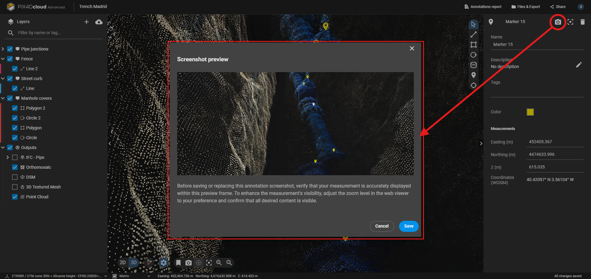
Annotations report: customizable and informative
The enhanced annotations report functionality now includes customizable images, providing better visualization of the reported data. Reports include measurements, markers, volumes, notes, and inspections. This makes them a vital tool for communication, quality control, and project management— ensuring that all stakeholders are informed and engaged.
Creating annotations reports:
- Select "annotations report" from the top bar, on the right > click "Generate" on the "annotations report" card.
- Configure the report settings and select “Generate” to receive the report via email.
For comprehensive instructions on creating annotation reports, refer to this article: Annotations report - PIX4Dcloud Advanced
The Takeaway
The latest features in PIX4Dcloud—DXF export, SHP export, DXF overlay, and enhanced annotations reports—are designed to boost efficiency and flexibility in your workflows. By integrating these capabilities, professionals in surveying, engineering, and GIS can achieve greater accuracy and seamless project coordination. Additionally, with the ability to view design overlays in augmented reality using PIX4Dcatch, you can verify projects on-site, enhancing real-time accuracy and reducing errors. Experience these enhancements yourself and see how PIX4Dcloud can elevate your project outcomes.