Pix4D and Kokusai Kogyo: 3D geospatial analysis
Full automation for 3D spatial analysis that support i-Construction and public surveying in Japan
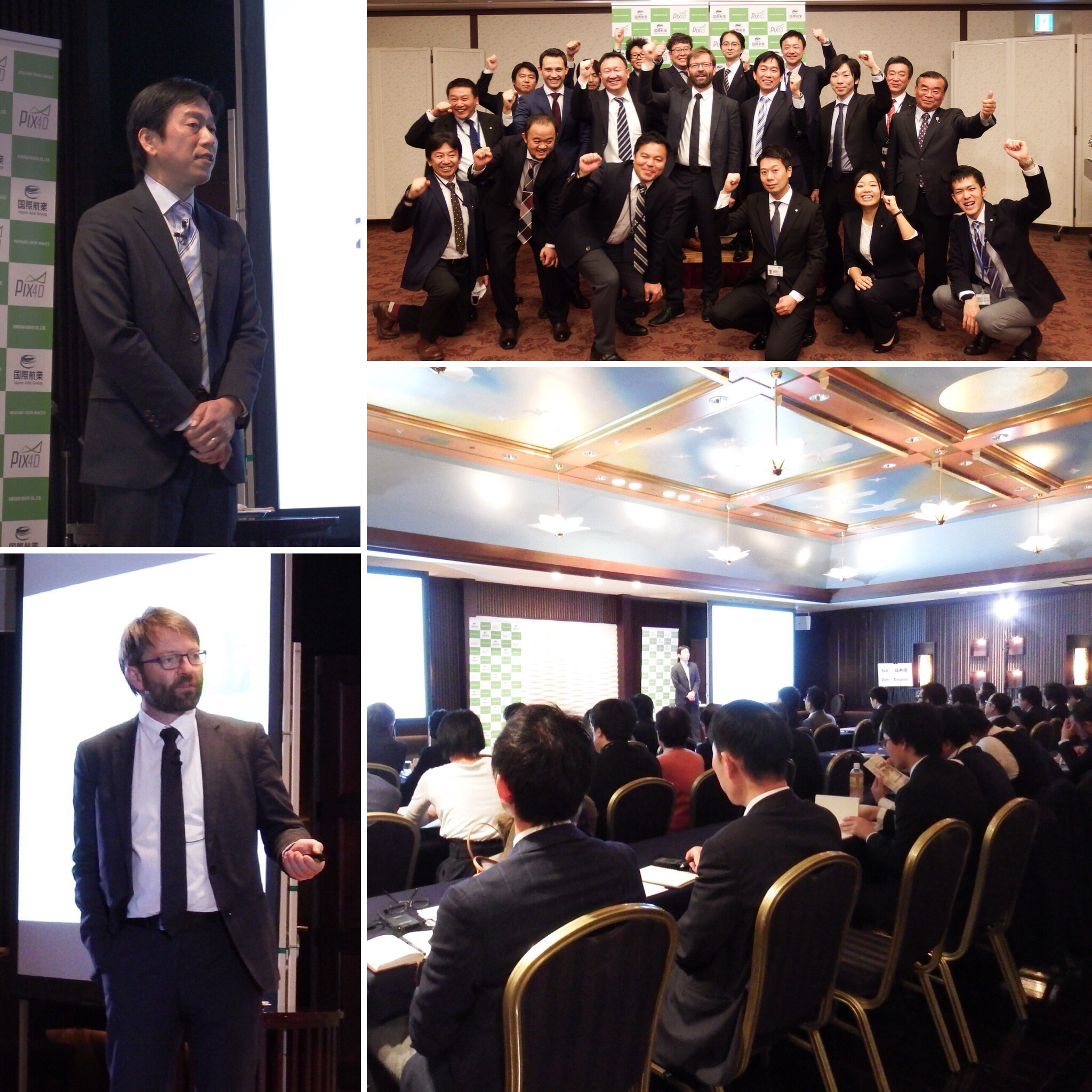
In August 2016, Kokusai Kogyo Corporation (KKC) — the leading geospatial consulting company in Japan – released a 3D geospatial analysis cloud service (KKC-3D). Our partnership will jointly develop that service and new features to meet the requirements for public surveying and i-Construction standards. i-Construction is a set of government-defined regulations to govern the collection and processing of drone data.
Japanese customers will only have to upload acquired images as well as the location information of the ground control points, in order to download the 3D terrain model and the quality control reports that meet the requirements of public surveying and i-Construction.
The service users will be able to drastically shorten the process for 3D spatial analysis for public surveying and i-Construction, and the service will enable a dramatic improvement of productivity for all parties involved in the process.
Pix4D is excited to be part of the iConstruction initiative in Japan–interpreting data collected by drones and other devices and automating complex workflows.