

Maximize seed ROI: early stress-resilient variety selection
Choosing crop varieties is high-stakes. For Elvita, a science-led brand, finding stress-tolerant seeds is essential to their offering.
Read more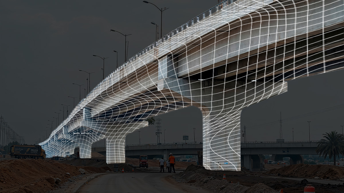
How does PIX4Dcatch achieve professional accuracy?
From hybrid LiDAR to Geofusion, explore the technology that sets PIX4Dcatch apart.
Read more
PIX4D & Sinclair College establish academic partnership
From construction to agriculture, students now gain direct access to professional mapping tools and certified training.
Read moreMaximize seed ROI: early stress-resilient variety selection
Choosing crop varieties is high-stakes. For Elvita, a science-led brand, finding stress-tolerant seeds is essential to their offering.
How does PIX4Dcatch achieve professional accuracy?
From hybrid LiDAR to Geofusion, explore the technology that sets PIX4Dcatch apart.
PIX4D & Sinclair College establish academic partnership
From construction to agriculture, students now gain direct access to professional mapping tools and certified training.

Saving $6,000 in one VRA application using satellite imagery
Remote zonation on 354 hectares was completed in 18 minutes, leading to a 20% reduction in input costs for the producer.

Smarter spraying: $4,8K saved in one application
With PIX4Dfields, a producer saved $4,800 by applying herbicide to only 15 hectares of an 86-hectare wheat field
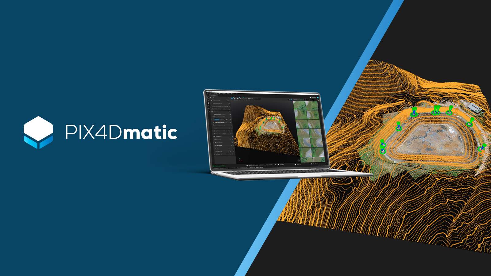
Why we built PIX4Dmatic as a complete geospatial platform
PIX4Dmatic unites large-scale processing with survey-grade extraction in one workflow, from aerial or terrestrial capture to CAD/GIS.
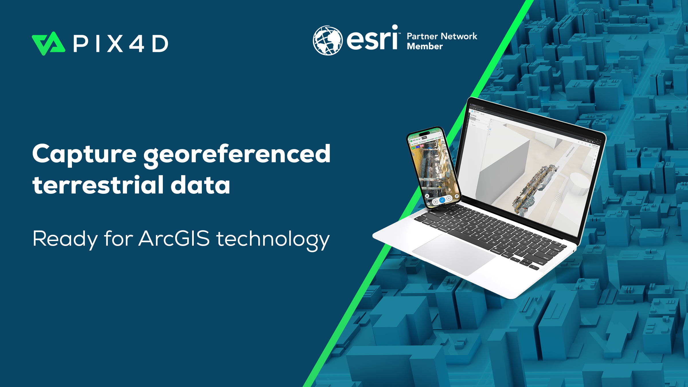
PIX4D & Esri launch terrestrial mapping workflow
PIX4D and Esri launch a terrestrial workflow to map underground utilities, connecting cm-accurate field data directly to ArcGIS technology.

Cut rebar inspection time by 50%+ with smartphone scanning
A leading infrastructure firm saved 850 hours on a major railway project by replacing manual measurements with PIX4Dcatch phone scanning.
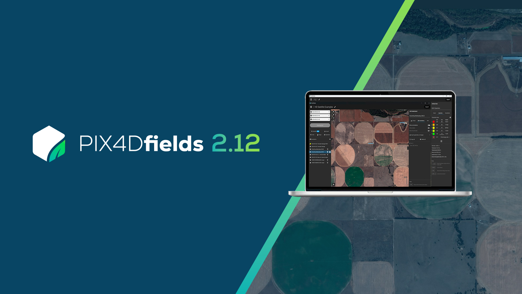
PIX4Dfields 2.12: high-resolution satellite imagery
PIX4Dfields 2.12 introduces high-resolution satellite imagery, VRA support for EAVision spray drones, and more!

Pix4D names Puget Systems certified hardware provider
Pix4D and Puget Systems partner for specialized benchmark testing of Pix4D software on Puget Systems hardware.
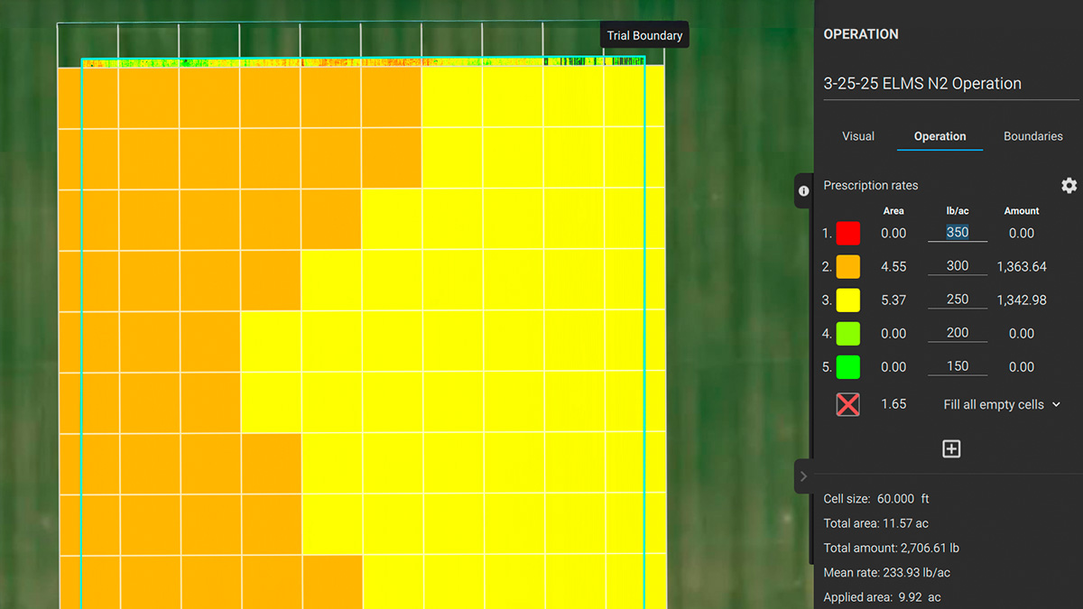
$25,875 fertilizer savings using PIX4Dfields
Custom fertilizer maps based on nitrogen levels in St. Augustine grass resulted in saving 34.5 tons of fertilizer.
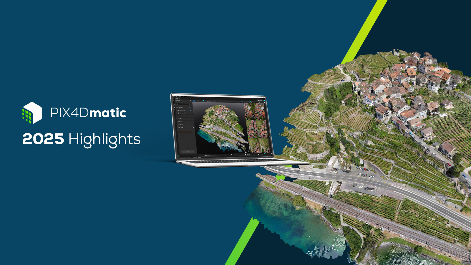
PIX4Dmatic highlights 2025
A new orthomosaic editor, combine LiDAR point clouds with drone data, LandXML volume calculations, more accurate vector drafting & more!!