Mapping the ancient city of Paquimé with drones
In July 2015, Scott Ure and a team from Brigham Young University used drone technology to create an accurate and up-to-date digital map of the site for identifying future excavation locations.
| Institute | Brigham Young University |
| Country | Mexico |
| Industry | Cultural heritage |
| Project date | July 2015 |
| Project members | Scott Ure, Michael T. Searcy |
| Project size | 0.8 square kilometers |
| Number of images | 422 |
| GSD | 5.7 cm |
Mapping a mystery
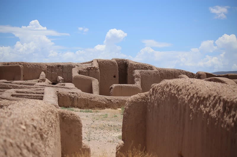
Paquimé is an archaeological site in Mexico, near the modern town of Casas Grandes. The origins of the site are still a bit of a mystery: Some think the Mayans built the city, while others hypothesize it was built by local people of Northern Mexico and the American Southwestern region. There are some ongoing studies to try and determine who built Paquimé.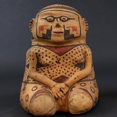
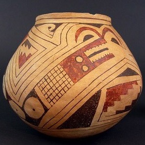
The city itself is one of the largest prehistoric cities in the region. Its habitants were masters of trade, selling marine shell collected from the Baja Gulf and breeding Macaw parrots, traded up from the Yucatan, to sell their feathers. The people’s pottery was quite amazing as well, with some using parrot effigies.

Data Acuisition
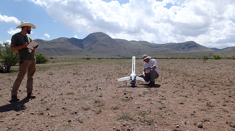
In July 2015, Scott Ure and his team from Brigham Young University (BYU) mapped Paquimé with the latest drone technologies after getting flight permissions from the Instituto Nacional de Antropología e Historia (INAH).
A Trimble Gatewing X100 drone was used to fly over the site, with more than 400 images acquired by the RICOH GR Digital IV camera onboard.
Achieved Result
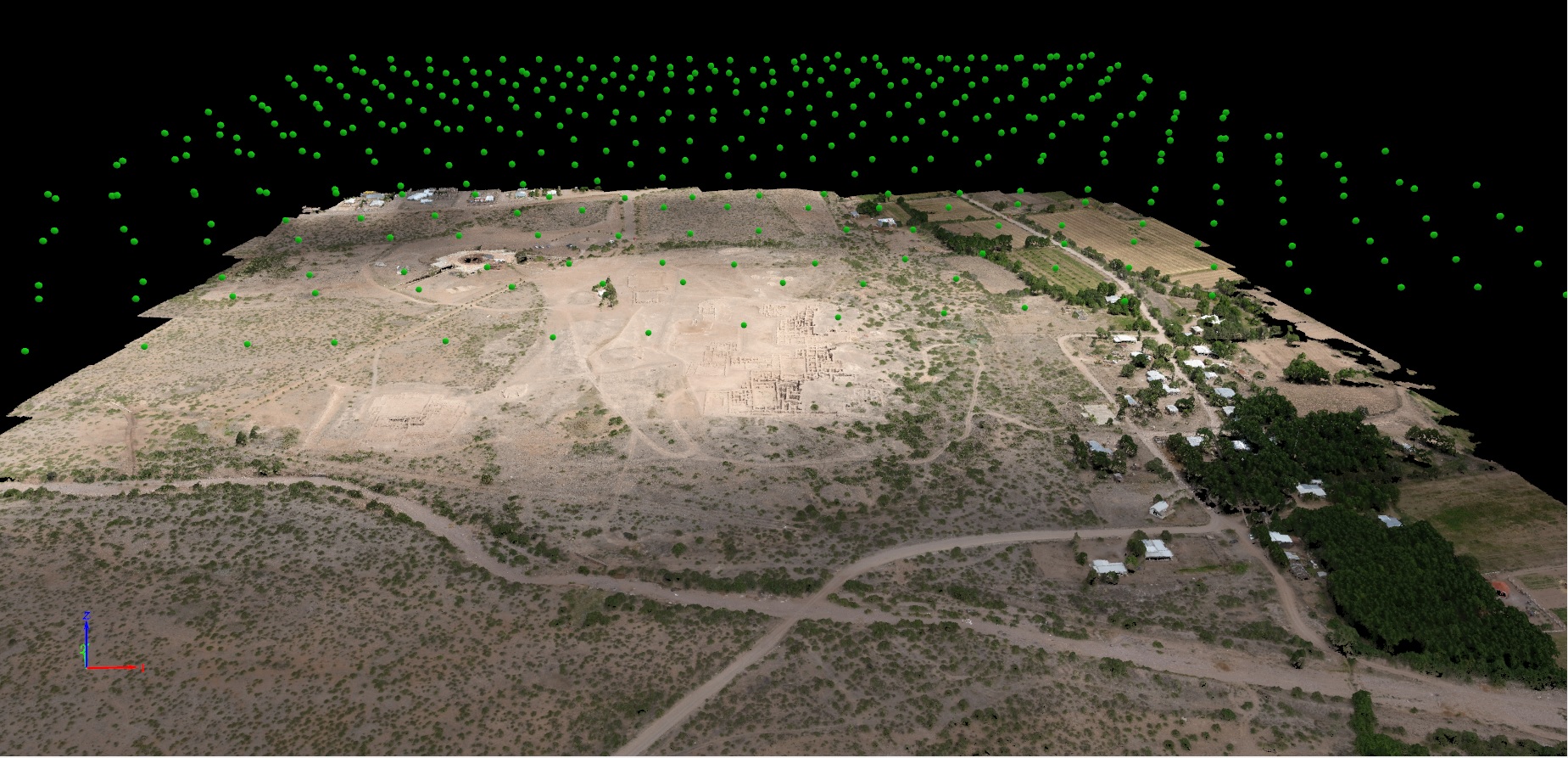
The topographic map was drafted in Adobe Illustrator using Avenza’s MAPublisher plugin. The orthomosaic and the DSM slope model provided the background to digitize all of the archaeological features, and the 50cm contour shapefile was imported into the Illustrator map using the same Avenza plugin, thus maintaining georeferencing for all digitized elements.
As far as we are aware, this is the first comprehensive topographic map of Paquimé that includes all of the architectural features in a georeferenced format.