パッケージに関するご質問は、 までお願いします。

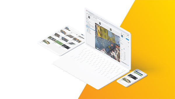
Pix4Dのパワーをクラウドでも。ドローンと地上でのマッピング、現場の記録、コラボレーションのためのオンライン・プラットフォーム。

スタンダード
簡単な共有・ストレージ&処理
/ month
Billed monthly, excl. taxes/ month
/ month
Billed monthly, excl. taxes/ month
/ month
毎月20クレジットが含まれます
年間500クレジットが含まれます
3年間で1,500クレジットが含まれます
プロジェクト共有が無制限
測定値と注釈
PIX4Dcatch & PIX4Dcapture Proへのアクセス
エンタープライズ
シームレスな統合と拡張性
詳細はご相談ください
すべてのアドバンスド機能
組織管理
APIアクセス
埋め込み3Dビューア
SSO
カスタム・インテグレーション(統合)
無制限の処理オプション


スタンダード・プランとアドバンス・プランの違いは何ですか?
大手企業がPIX4Dcloudを導入し、ワークフローを改善 。
“PIX4Dcloudで生成された点群データを使って、設計通りのモデルと建設時の写真を素早く簡単に比較することができます。ドローンデータとPix4Dの組み合わせは、プロジェクトスケジュールに対する現場の進捗を監視する手頃な方法です。”

"もしこのチームがPIX4Dcloud Advancedを使用していなかったら、建設現場は多くの手戻りコストに直面していたかもしれません。そのため、PIX4Dcloud Advancedは今や会社の標準となり、社内のプロジェクト全体で使用されています。"

"測量業者が2、3日で結果を出すところを、ドローンマッピングは数時間で終わります。ドローンを使えば、サイト全体の全体像を把握することができます。PIX4Dcloudのプロジェクトからリアルタイムのデータを素早く収集し、現場での意思決定を迅速に行い、コストがかかる前に��潜在的な問題を特定することができるのです。"

