Energy, Utilities & Infrastructure
Reduce inspection costs and improve team safety with digital replicas of your sites
Contact usApplications

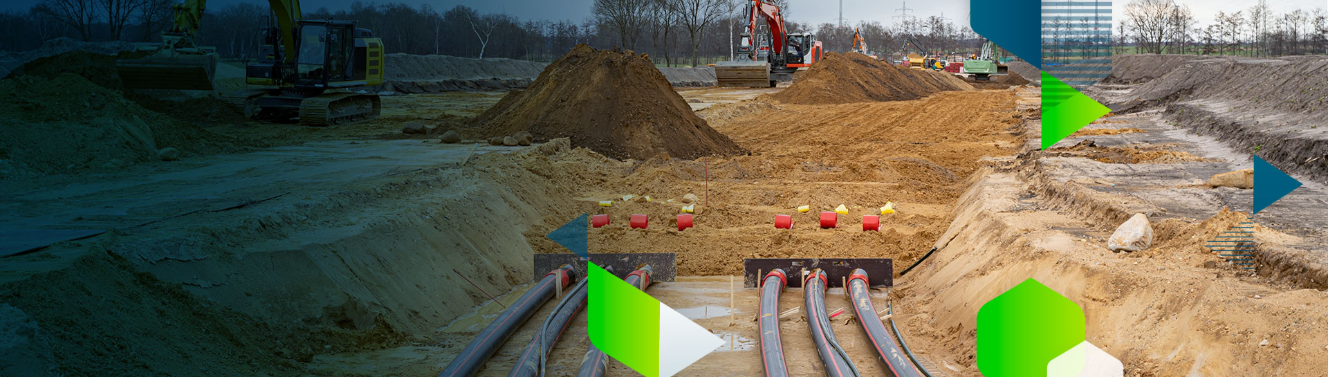
Subsurface utilities
Benefits
- As simple as “recording a video from your phone”
- Automatically create 3D as-builts
- Process on cloud or desktop
- Easy and fast extraction of relevant infrastructure data


Bridge inspection
Benefits
- Complete overview of the infrastructure (e.g sides, undersides, and terrain) in 2D and 3D
- Tag issues, assign severity level, and share data with maintainance crews
- Reduce risks with digital data collection rather than manual
- Map areas of the bridge that are inaccessible with traditional methods


Facade inspection
Benefits
- Digital recreation of facades and buildings in 3D to optimize operations
- Annotate the defects and maintenance requirements of the building
- Quickly share updates with teams and clients via a link
- Automatic inspection reports with issues located and documented

Roofing
Benefits
- Increase safety by reducing the risk of climbing
- Improve the accuracy of your measurements
- Cut costs by eliminating expensive equipment
- Save time by performing quick measurements remotely
Make the most of your images with photogrammetry and advanced analytics
Improve your business decisions with actionable data
Reduce time
Rapid data collection with aerial or terrestrial tools. Outpace traditional methods

Increase safety
Gain access to difficult-to-access locations while improving site safety.

Site awareness
Visualize sites and assets in 3D for inspection and analysis from anywhere. Create a reliable record.

What type of license would suit you?
Educational
We offer research and classroom licenses to educational institutions. Bring photogrammetry to your course with a special offer.
DiscoverProfessional
Reduce inspection costs with photogrammetry. Choose from our licenses to meet your specific business needs. Gain an edge over your competitors.
DiscoverEnterprise
Use our products for your enterprise. Incorporate them with your platforms or customize our algorithms for your use. Discover custom offers for your company.
Discover
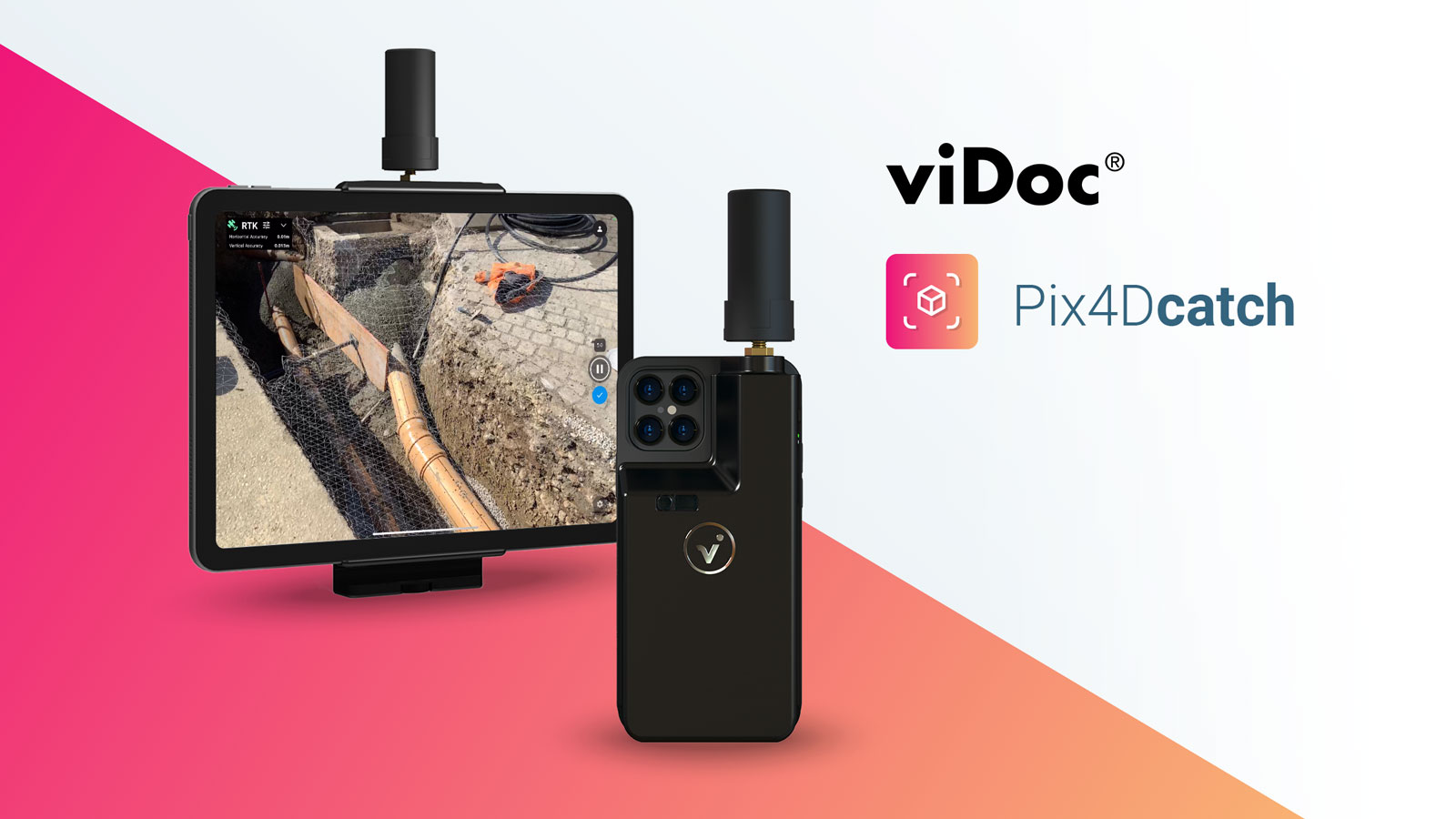
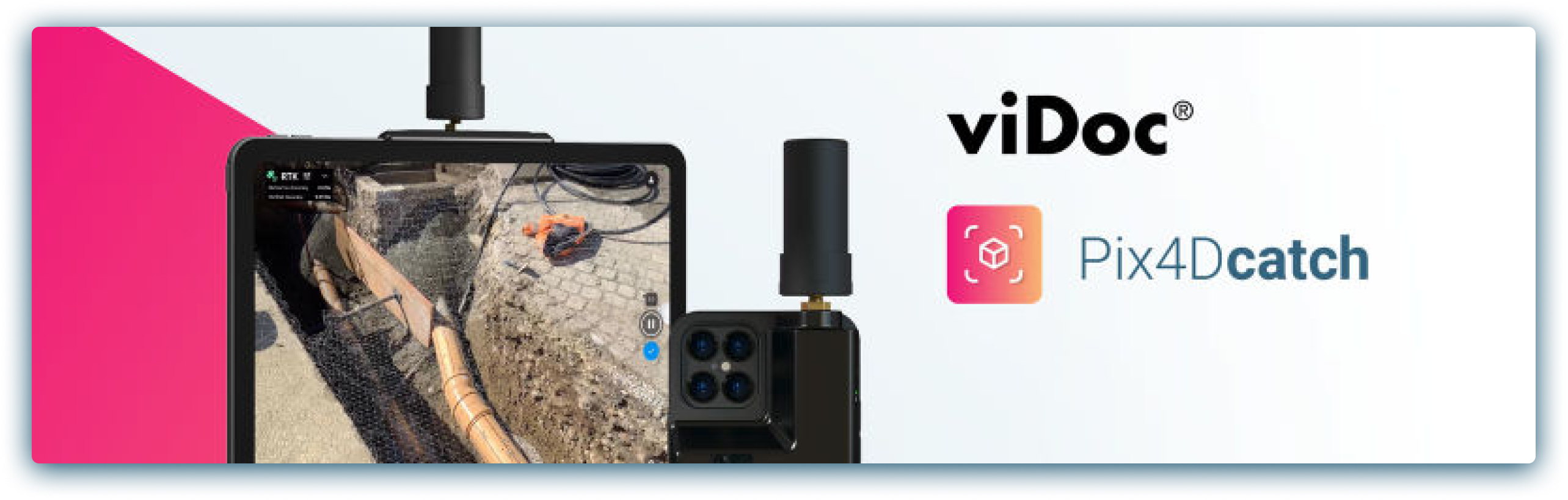
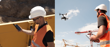
Capture
Straightforward data collection - on the ground with the PIX4Dcatch RTK rover or aerially with drones. Pre-plan data collection flights or routes to target specific pain points.

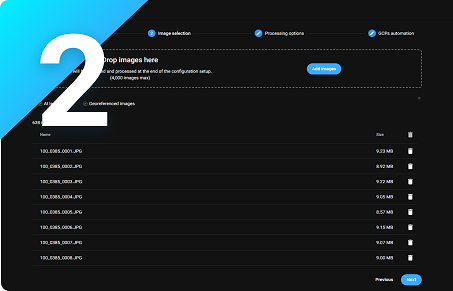
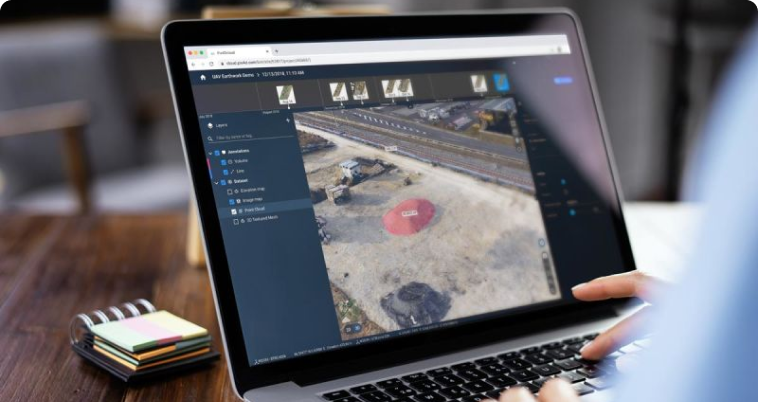
Process
Process on the cloud - host your data online or on desktop. Choose how to process your data, and how to share it. Take control of your workflow.
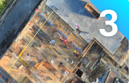
Analyze
Visualize and Analyze - Measure distances, create annotations, and inspect individual images of an asset. See more in 3D from your computer.
Report and share
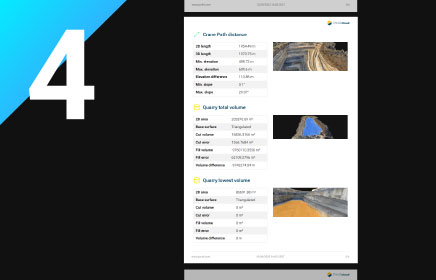
Generate comprehensive PDF reports featuring all measurements, points, volumes, and inspections, along with screenshots. These can be easily shared, enhancing collaboration and clarity among team members and stakeholders.
Pix4D’s products for Energy, Utilities & Infrastructure


Unlock the power of your drone with PIX4Dcapture Pro for optimal 2D mapping and 3D modeling