

Surveying and mapping,
elevated
Aerial surveying and mapping with drone images and photogrammetry

PIX4Dcloud
Our online platform for ground and drone mapping, progress tracking and site documentation
Learn more >
PIX4Dcatch RTK & viDoc
Terrestrial 3D scanning with RTK survey-grade accuracy from your mobile device
Learn more >
PIX4Dmatic
Next generation photogrammetry software for professional drone and terrestrial mapping
Learn more >
Supported Drones
Explore the compatibility between various drones and different PIX4D software options
Learn more >
Enterprise
Unlock scalability at your organization, with access to dedicated support representatives
Learn more >
Training
Take your mapping knowledge to new heights with our hands-on training courses and extensive range of resources
Learn more >
Latest blog posts
Discover the latest stories and use cases about photogrammetry.
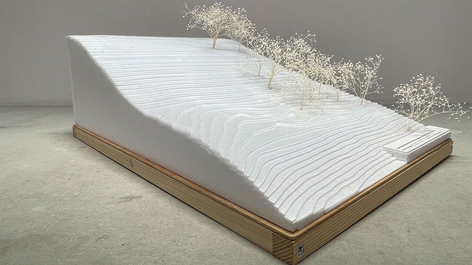
Pix4D used for innovative architectural design approach
Aerial and terrestrial photogrammetry assist with new architectural design approach.
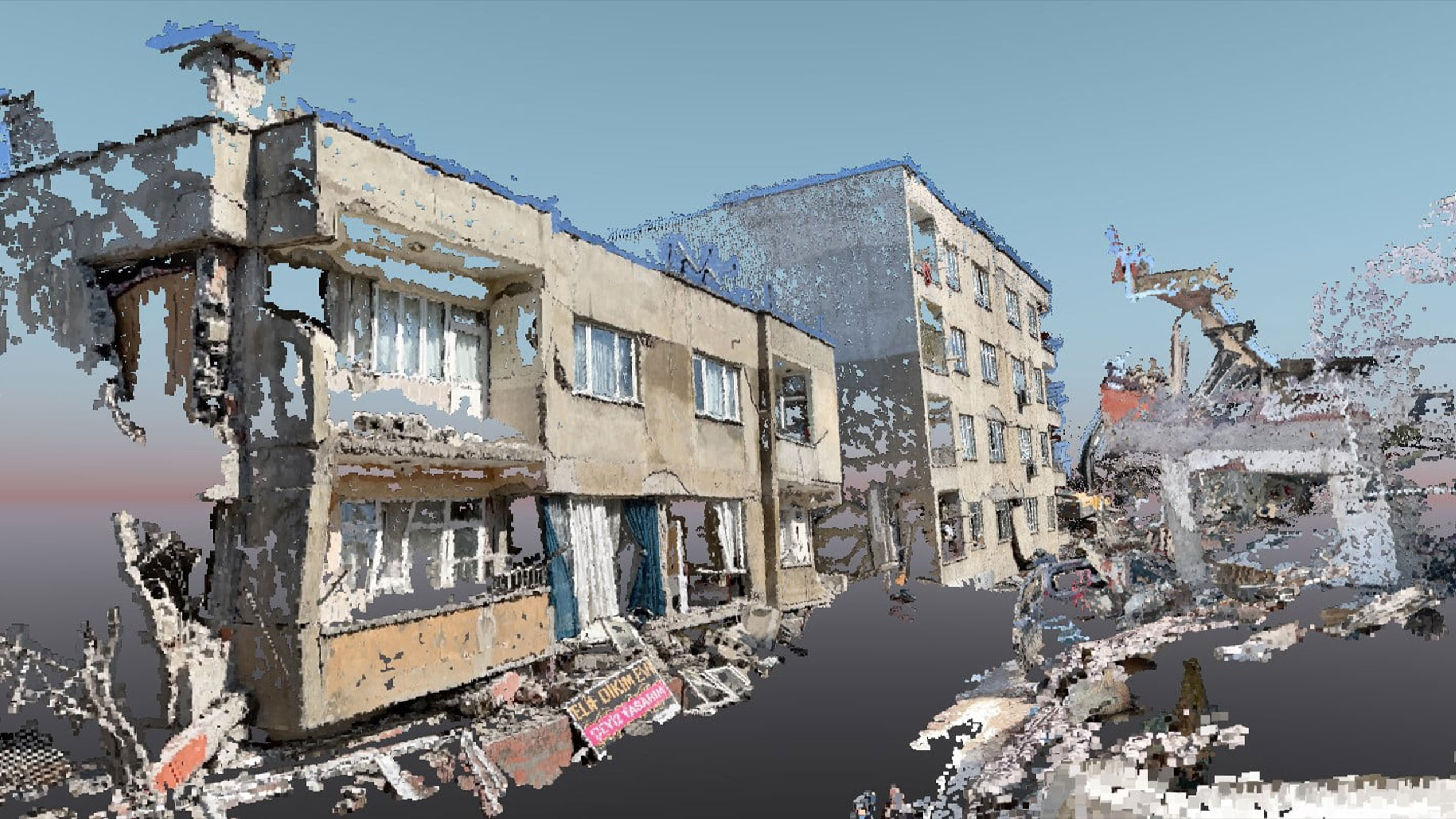
Damage assessment with the PIX4Dcatch RTK workflow
In the aftermath of the Kahramanmaraş-centered earthquake, the PIX4Dcatch RTK workflow was used for rapid damage assessment.
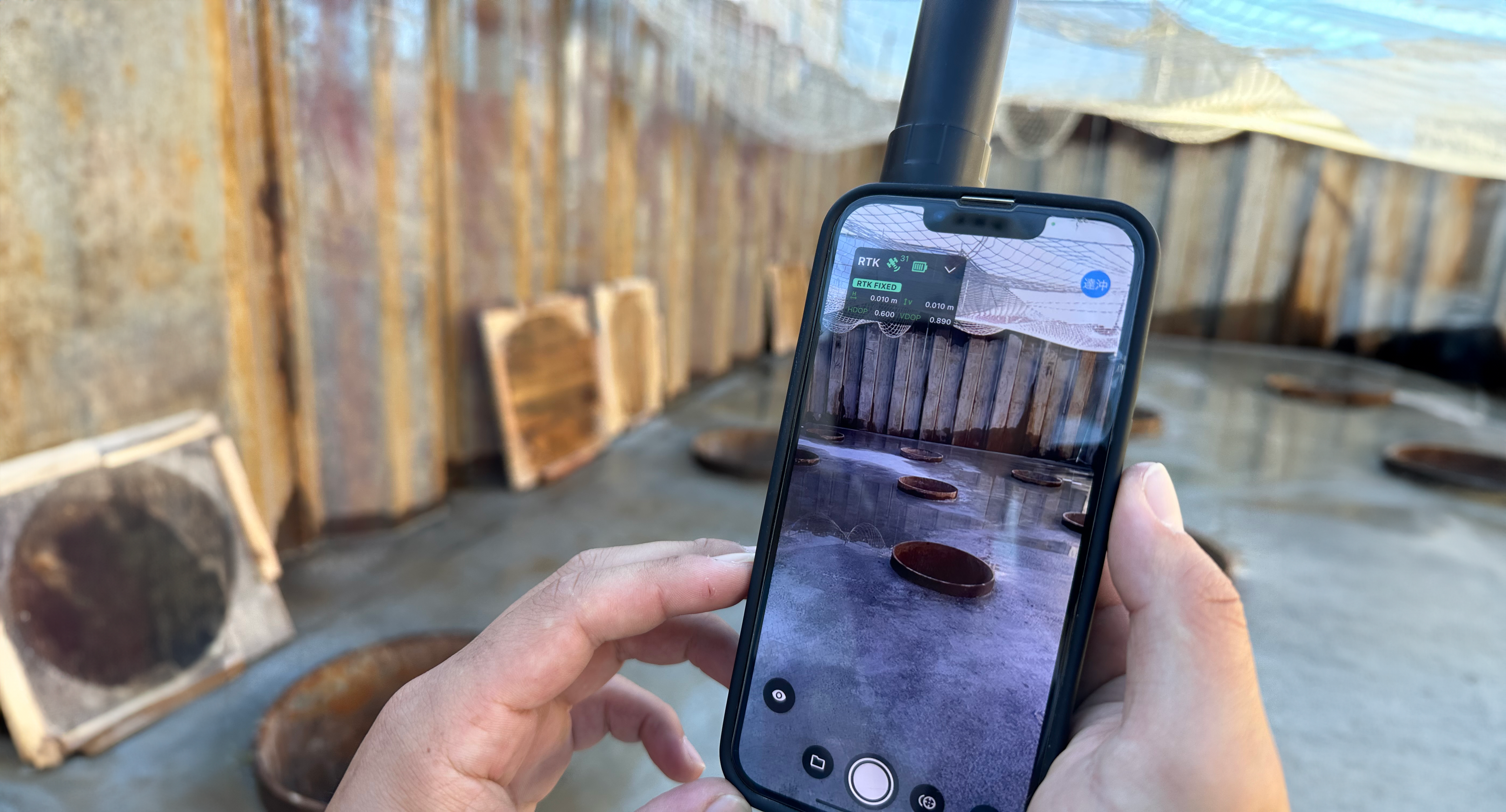
PIX4Dcatch RTK application: from field survey to as-built
In our interview with CRAFTCOM Co. Ltd we discuss their use of the PIX4Dcatch RTK workflow, exploring the integration, use, and impact.