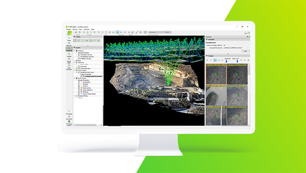
 PIX4Dmapper
The most comprehensive photogrammetry software taking you from images to the 2D or 3D outputs you need.

Monthly subscription
Billed monthly, excl. taxes
Buy now
Yearly subscription
Buy now
Perpetual
Billed one time, excl. taxes
Available Bundle

Yearly license
PIX4Dmapper & official training bundle to master the essentials of photogrammetry
The PIX4Dmapper Essentials online course will introduce you to critical PIX4Dmapper workflows. You will learn best practices for capturing RGB images and creating, managing, analyzing and sharing 2D and 3D representations of reality. A series of hands-on exercises will demonstrate how to effectively work with PIX4Dmapper.
Buy the bundle
* This purchase includes an annual PIX4Dmapper license and a one-time training fee. Renew the license annually at its standalone rate. Access to the training is granted for a lifetime.
Trusted by thousands of geospatial experts
"Large site surveying can be very long with manual labor, but working with drones makes data collection quick, and PIX4Dmapper gave us the accurate, quality results that our clients needed."

"We use PIX4Dmapper for our projects because the software provides clear information about each step of map generation which facilitates us understanding the process of map generation."

"PIX4Dmapper helped us create a detailed model of the culvert that we could quickly share with the client, letting them visualize the conditions inside so they could make critical maintenance decisions."

We offer support at any level
including your trial

support

& training

support
Frequently asked questions
Can I try PIX4Dmapper?
What are my payment options?
Can I purchase just one month?
What is Personal Support and Upgrades (S&U)?
For monthly or yearly subscriptions, it is automatically included during their entire duration. For perpetual licenses, it is included for the first 12 months after the purchase.
*S&U can be purchased and kept renewed at 10% of the regular list price annually and at 20% of the regular list price if the renewal deadline is missed.
Can I get trained on the software?
Can I purchase Cloud processing for a PIX4Dmapper license?
Can I change or cancel my subscription?
Can I purchase different Pix4D sofware products and services together?

Still have questions? We are here to help
Ask us about Pix4D products, bundles, pricing, payment conditions or anything else. Our sales team is standing by, ready to help.
Contact us