Event highlights: relive the Pix4D 2021 User Conference
This month, we hosted the 2021 Pix4D User Conference: From the Ground Up. Entirely online, we had 24 hours of live content. There were over 40 sessions broadcasted in English, Japanese, Spanish, and Portuguese to more than 4,000 registrants. The majority of talks also featured live Q&A sessions so attendees could ask the speakers and Pix4D team questions about what was presented.

This event was the first online conference hosted by Pix4D, and catered to all time zones. Sessions were recorded and are available to attendees for 6 months. The platform that was used for the event is the same tool that you can navigate to rewatch sessions or discover ones you might have missed. If you already registered, use your login credentials and access all sessions whenever you want. If you haven't registered yet, use your Pix4D account email and sign up for free.
Here is a summary of what happened during those 24 hours:
Pix4D Speed Quiz
Our Pix4D Training Team hosted a quiz to test the speed and techincal knowledge of Pix4D users. The prizes were significant! Quiz participants were in with a shot at winning a free PIX4Dcloud, PIX4Dmatic or PIX4Dsurvey license for a year.
The questions included testing how to get the best high accuracy point clouds on PIX4Dcloud, what geoids are currently supported by PIX4Dmatic, and what PIX4Dsurvey’s capabilities include. Contestants got points for answering right, and for answering quickly. Our first place winner was Richard Pickett, who won a PIX4Dsurvey license for a year.

Keynote talks: hearing from users
Speakers from all over the world shared how they are using Pix4D software, from mapping the Amazon rainforest to rebuilding Beirut after the 2020 explosion. The variety of sessions was huge, covering industry-specific sessions that included surveying and mapping, inspection, telecom, agriculture, public safety and emergency response.

The speakers also presented in different languages and from different regions, focusing on different time zones over the course of the 24 hours. Some of our expert user sessions include:
- Tower surveys with PIX4Dinspect by Motorola Solutions
- PIX4Dfields and DJI spraying drones in precision agriculture by Unitrans Africa
- Roundtable: Stories from the field by Nutrien Ag Solutions, Highrolyph, and Pix4D
- 3D head measurements by KOKUSAI KOGYO CO. LTD
- Public works and Pix4D in every day work by Columbia County Georgia
- Incorporating photogrammetry in police investigations by Crash Tech Reconstruction Services
- The Beirut explosion: mapping for recovery by Augment
- High-Res large scale mapping of the Amazong rainforest with UAV by Quantum-Systems
- Mapping a disaster by Pearland Police Department
- And more!

All of these sessions can be watched on-demand by users who attended the conference and accessed for 6 months.
Lessons learned the hard way
“Pix4D users have some of the most important jobs in the world - we want to make those jobs easier.” That’s how Jeff Muller, the Enterprise Cloud Platform Director at Pix4D, opened the User Conference in his segment of the opening keynote. The Pix4D Support and Training teams have hours of video tutorials, hundreds of detailed support pages, as well as product-specific training courses and workshops to make sure people get the most out of their Pix4D products.

However, someone has to get it wrong - that’s just the way of things. So the Pix4D Training team shared some stories about lessons that some users have learned the hard way. This included avoiding no-fly zones, dealing with image processing and running out of space, as well as the effects of using a rolling shutter and flying too fast or too low.
Pix4D product update sessions
One of the best parts of the conference was being able to share and discuss live the most recent updates to the specialized photogrammetry products, as well as their visions for the future.
PIX4Dcatch product manager Amritha Narayanan explained the exciting opportunities available to the public safety, construction, and inspection industries with PIX4Dcatch and the viDoc RTK rover. The ability to turn a mobile device into an accurate terrestrial scanner with accuracy to within 5 centimeters is an amazing development, which the Pix4D and viGram teams are very proud of.
The PIX4Dcloud team showed users how to measure and manage their projects on a single cloud platform and answered questions about exciting new features in PIX4Dcloud, including the 6-month offer of unlimited processing for PIX4Dcatch projects.
Beyond that, users heard from the PIX4Dinspect team about how accurate digital twins are revolutionizing the inspection industry, whilst the PIX4Dfields team discussed how their software is enabling precision agriculture which in turn encourages more environmentally friendly agriculture techniques.
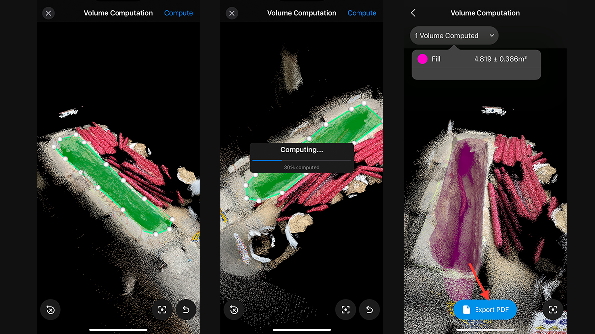
From the geospatial teams, PIX4Dsurvey and PIX4Dmatic showcased their ever-increasing list of features, which include volume measurements and fusing depth and dense point clouds from LiDAR and photogrammetry datasets.
What's coming next from Pix4D?
The event overall went very well, and although we at Pix4D miss having in-person events, this was a fantastic way to reconnect with our users all over the globe and share ideas, inspirations, and encouragement as we continue to push the limits of what is possible when measuring from images. After a few days of rest, we are already thinking about what the next Pix4D event will look like...
If you want to hear more about projects by users, make sure to sign up to the Pix4D Industry Insights newsletter, which gives you monthly use cases, product updates, and training tips. Want to improve your Pix4D skills? We had a lot of questions about this at the conference! You can register for our upcoming online interactive workshops, including our recently-launched PIX4Dmatic and PIX4Dsurvey online workshop for professional surveyors.
A final note to say thank you to all of our sponsors who helped make this event possible.


