PIX4Dcatch 2.0 is here!
What sets PIX4Dcatch 2.0 apart?
The new PIX4Dcloud AR transforms project visualization by overlaying AR georeferenced DXF, IFC, or 3D models in real time onto your construction site. Alternatively, you can scan trenches and see the underground pipes from PIX4Dcatch after the trench is closed. This function not only enhances the monitoring of ongoing construction against CAD designs but also significantly aids in identifying and repairing subsurface utilities, ensuring accuracy while reducing costs.
Learn more about PIX4Dcloud AR in our documentation.
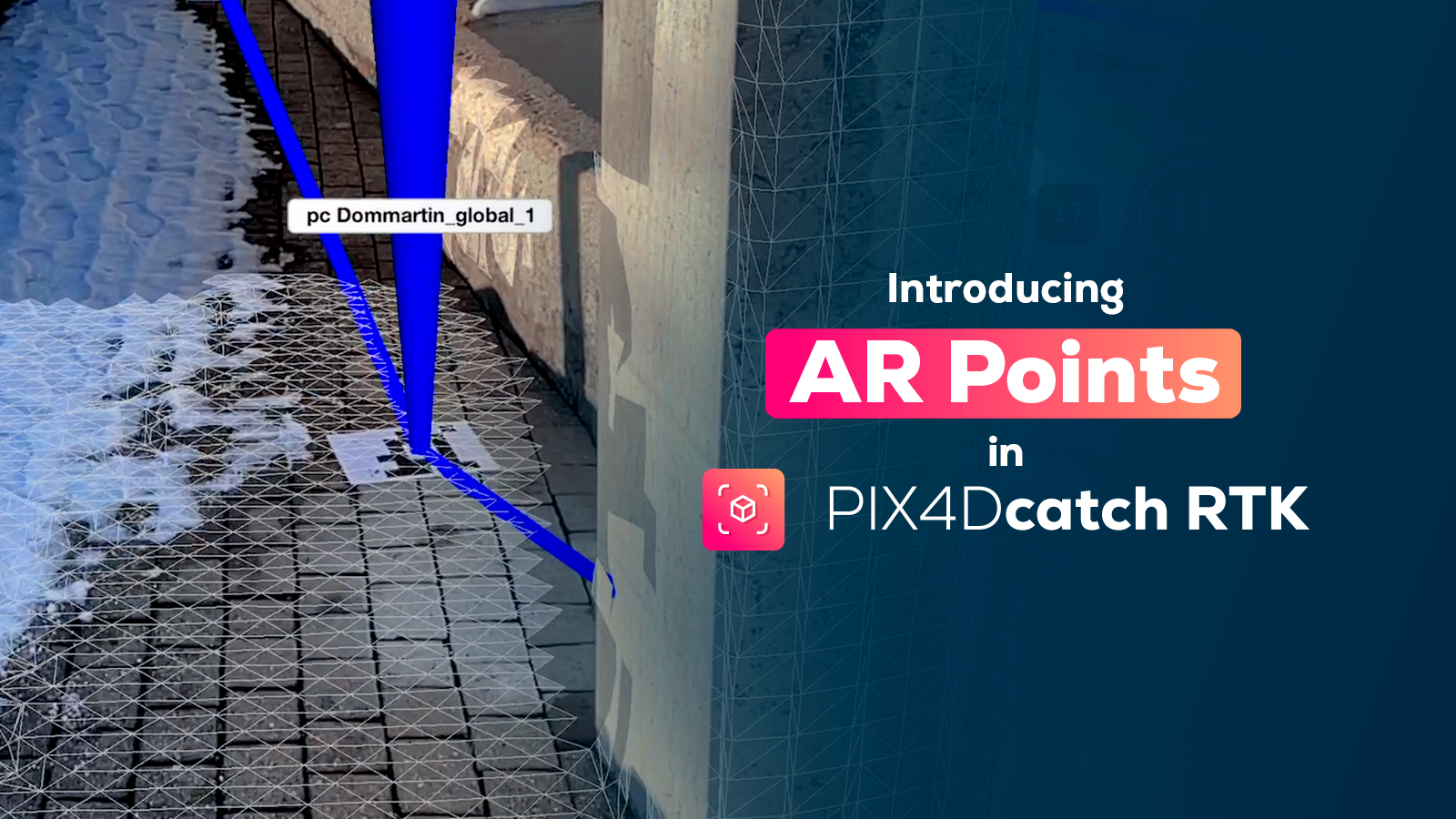
With the AR Points feature, you can quickly identify ground control points which helps to provide spatial guidance to the user while scanning big scenes.
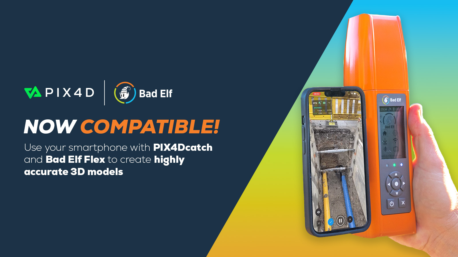
What RTK GNSS rovers are compatible with PIX4Dcatch?
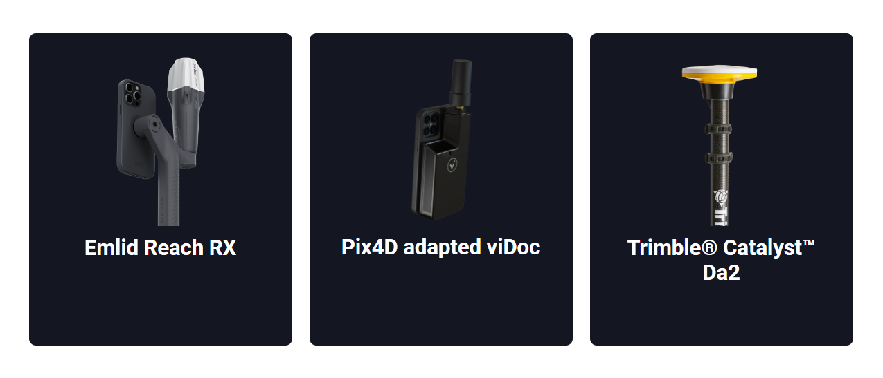
PIX4Dcatch 2.0 expands its RTK device compatibility, now supporting EMLID Reach RX, Trimble Catalyst DA2, and BadElf Flex (coming soon), alongside the *viDocs distributed by Pix4D. This broad compatibility ensures users can achieve survey-grade accuracy with their preferred device, enabling efficient mapping and data collection, regardless of industry or specific project needs.
*Only the viDoc sold by Pix4D official resellers is compatible with PIX4Dcatch
Three new licenses
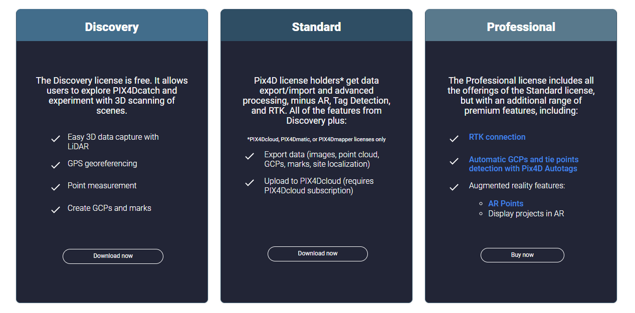
PIX4Dcatch 2.0 offers three distinct subscription options: Discovery, Standard, and Professional. The free Discovery license allows for basic GPS 3D scanning, letting users create georeferenced models for later viewing on their smartphones. The Standard license, available to PIX4Dcloud, PIX4Dmatic, and PIX4Dmapper license holders, adds data export capabilities and uploads to PIX4Dcloud to share your projects. The Professional license, which requires purchase, unlocks full capabilities including RTK support, automatic Tag Detection, AR features, and the creation of georeferenced point clouds for unparalleled precision in your projects.
The new Pix4D Autotags™

Pix4D introduces official tags, Pix4D Autotags™, designed to enhance the precision and efficiency of surveying workflows with PIX4Dcatch 2.0. Available for purchase in quantities up to 50, these tags are constructed from a durable combination of aluminum and PVC, ensuring longevity and easy placement on survey sites. The tags are specially designed for PIX4Dcatch's Tag Detection feature, optimizing the point collection process and streamlining survey operations for professionals seeking accuracy and speed in their projects.
What can PIX4Dcatch 2.0 do in my industry?
Subsurface utility mapping
PIX4Dcatch streamlines utility and subsurface mapping with its 3D scanning and augmented reality capabilities. Quickly scan open trenches and, after they're closed, use AR to view subsurface utilities' positions. The tool also facilitates annotations and precisely measures volumes, areas, and distances. This solution speeds up project management, saving both time and costs.
Construction verification, earthworks, engineering
There is a global shift towards digitization in the construction industry, and mobile 3D scanning apps like PIX4Dcatch are crucial tools for this change. PIX4Dcatch transforms how CAD designs are visualized in real environments, introducing an innovative way to display DXF and IFC over actual construction sites. AR together with RTK, allows precise project plan alignment with real-world contexts, enabling accurate on-site measurements, volume comparisons, and project verifications.
Upload your data effortlessly to PIX4Dcloud, where you can create and share annotations, enhancing team collaboration. By overlaying detailed CAD drawings onto the physical site, professionals reduce time spent checking work against plans - streamlining project reviews and corrections. With PIX4Dcatch, identifying potential issues becomes quicker, ensuring projects stay on track and within budget.
Forensics scene capture and accident reconstruction
PIX4Dcatch is easy to learn and fast to deploy - it is the ideal tool for forensics teams to quickly capture indoor or outdoor crime scenes and create a 3D reconstruction of an accident. With Pix4D*, forensics teams can merge drone and phone data, resulting in high 3D accuracy and covering a larger area for context.
Surveying and mapping
PIX4Dcatch offers an optimal solution to merge terrestrial and drone imagery to acquire highly detailed and complete 3D models. When connected with RTK, it can replace heavy, hard-to-learn tools, like laser and LiDAR scanners, simplify surveyor tasks and enable ground point control (GCP) collection and absolute accuracy on the georeferenced 3D models.
*When PIX4Dcatch is paired with PIX4Dmatic and PIX4Dcloud, you can merge georeferenced data, process it offline (maintaining data security) or on the cloud, and share it with stakeholders in a PDF report that includes annotations and measurements.