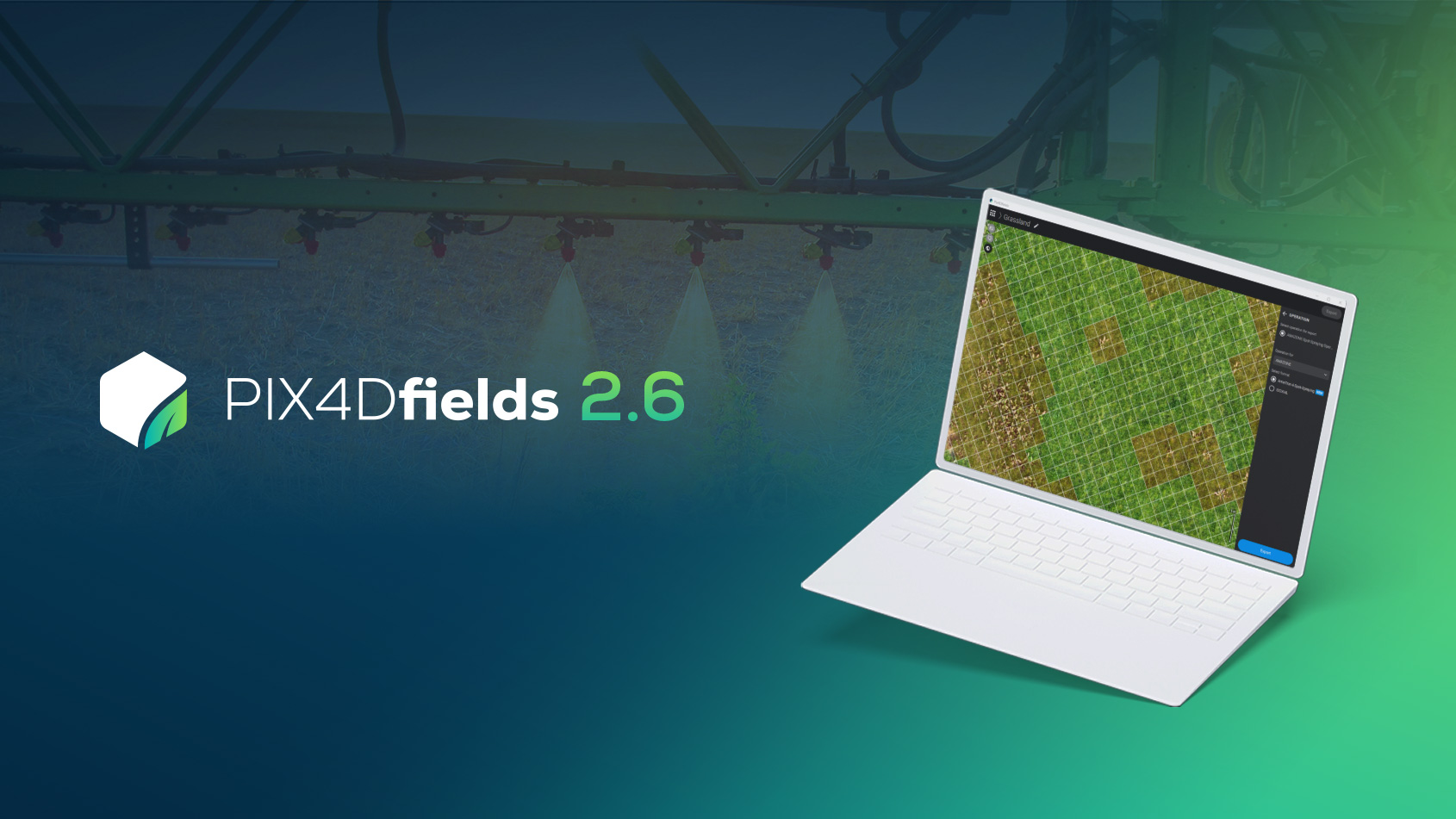
Compare different agriculture insights with Pix4Dfields
Whether you’re scouting and understanding your fields, validating an insurance claim or managing irrigation, a precision ag comparison tool can make the job easier.
The industry experts we spoke to wanted to compare different things – from orthomosaics and plant features to index maps and damage hotspots – the need was the same: a tool that could compare different layers of agriculture information, side by side.
Two different viewing options
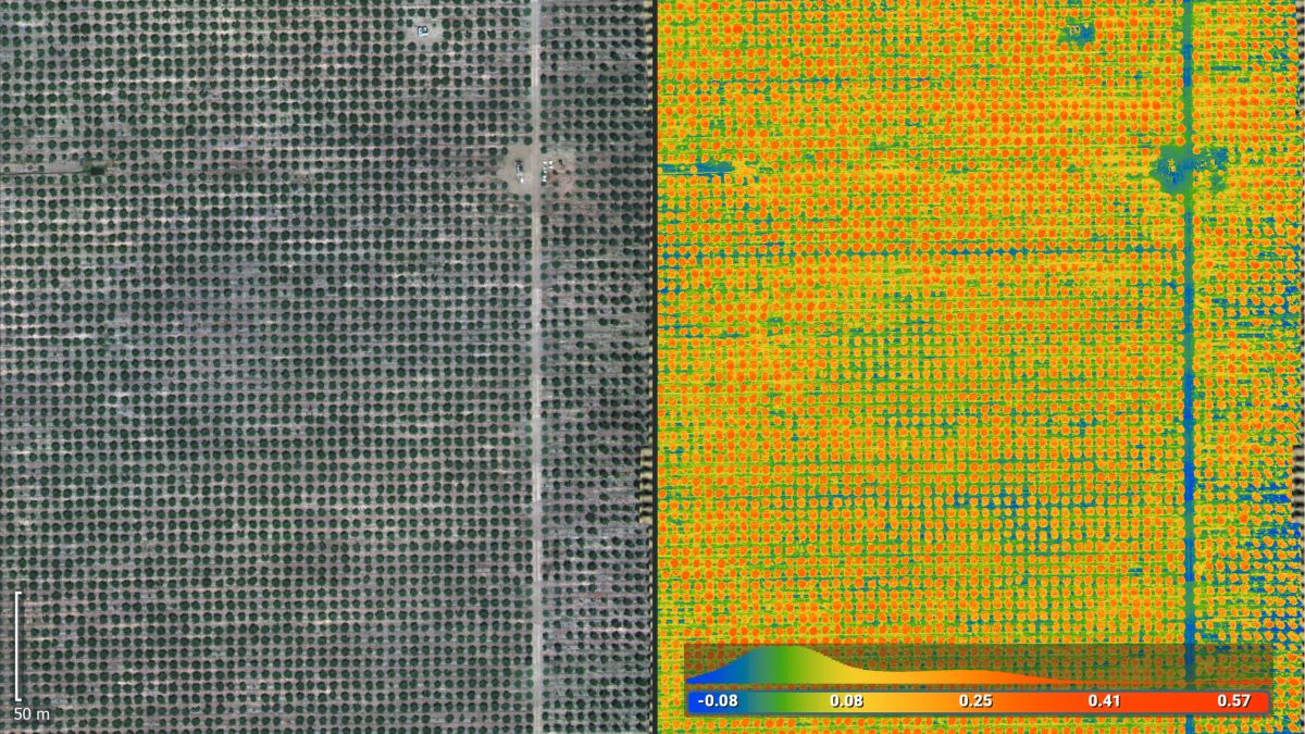
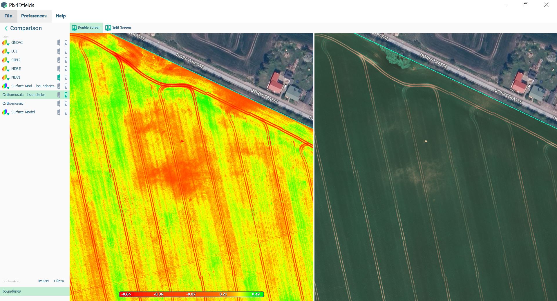
Pix4Dfield’s comparison tool has two different viewing options: double screen or split screen. If you are comparing an index map (for example a NDVI) and an orthomosaic, the double screen allows you to see both visuals displayed simultaneously. In this example, we can see where the damage hotspots on an index map correspond to an orthomosaic.
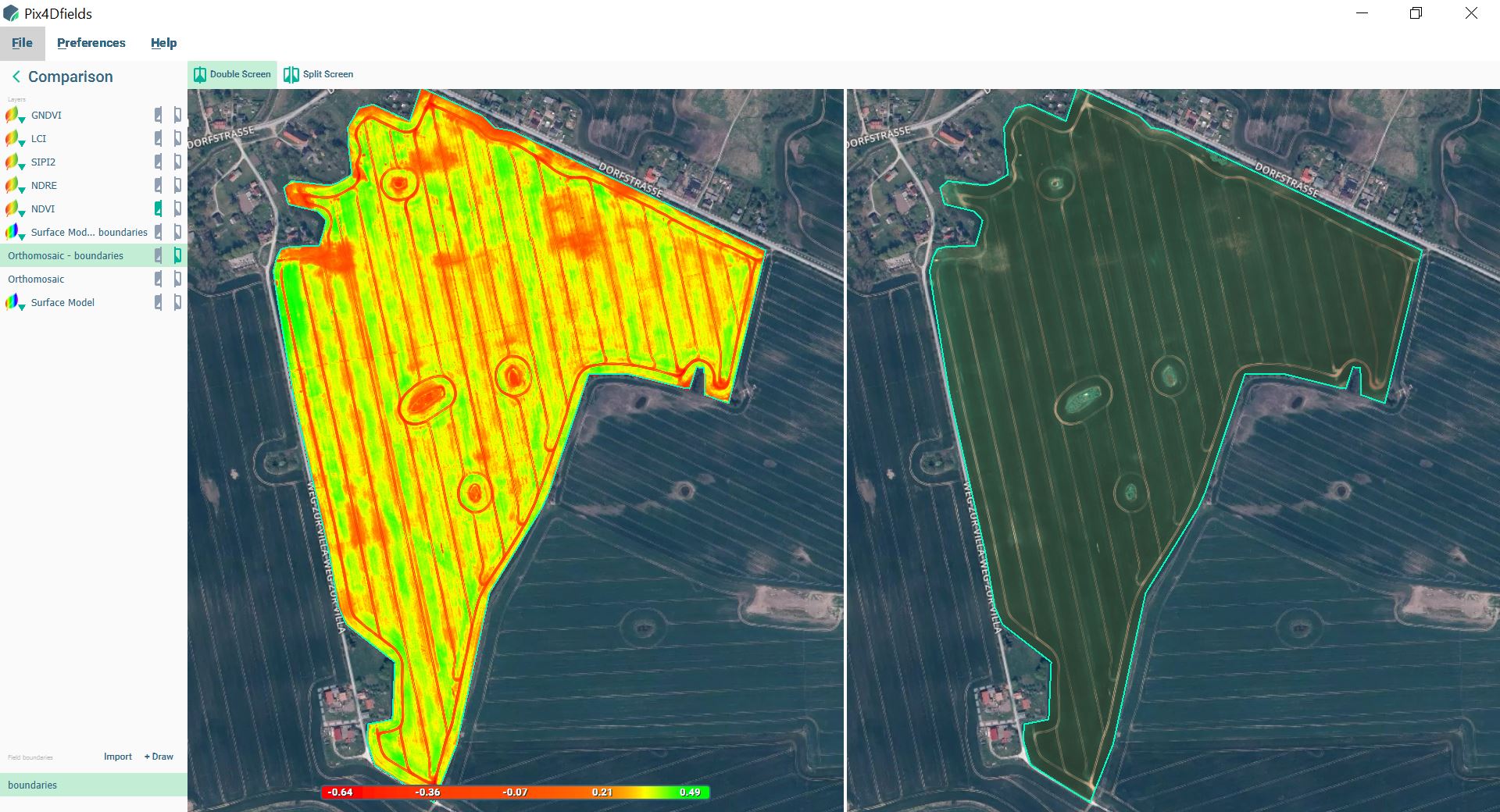
Especially if we zoom in further, the hot spots become even more apparent.
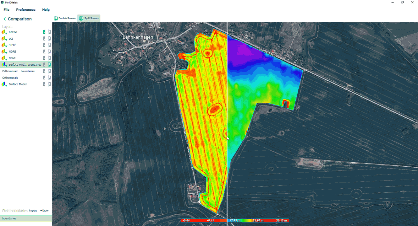
If you need to see more detail within the same visual, then a split screen might be a better option. For example, if you are planning your irrigation management decisions and need to know how the height of your fields (represented in a Digital Surface Model) correspond to an orthomosaic.
Precision agriculture technology is all about the best use of data, allowing you to make decisions faster when it matters the most.
By presenting data in an intuitive and easy-to-use way, the Pix4Dfields comparison tool gives you a deeper understanding of your information.