
The online photogrammetry software for 2D and 3D models
Simplify communication and boost collaboration!
Try now
What do you get with PIX4Dcloud?

Analysis made easy
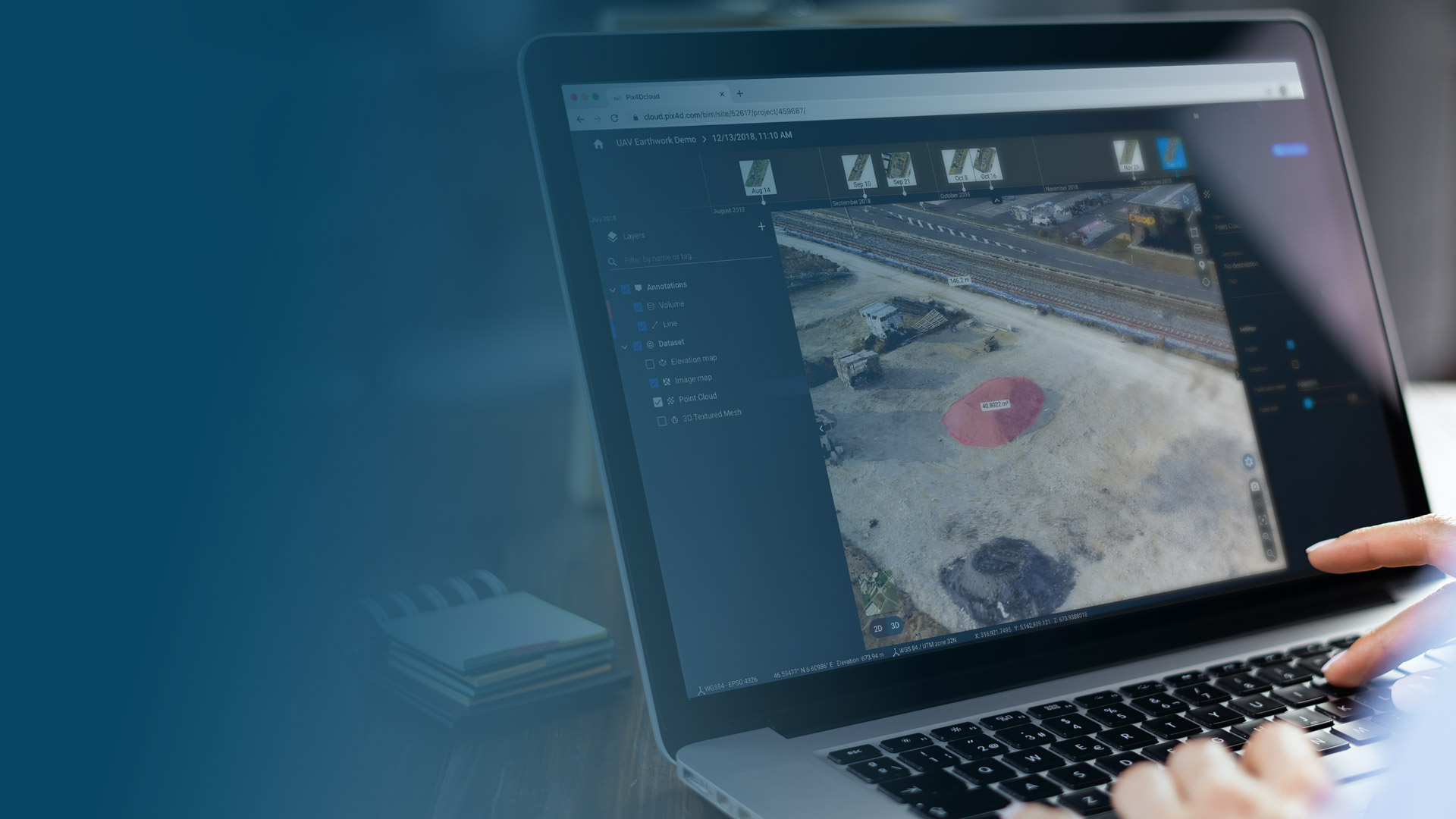
Get an instant view of any jobsite from anywhere, from your browser in 2D and 3D, with results you can measure, explore, compare, share, and collaborate on.

Straightforward communication
Share your results with anyone in the world immediately with just a link. Your team or clients can view and work on the same project, at the same time, from anywhere.

User-friendly interface
No need to spend hours or even days learning the software. PIX4Dcloud is user-friendly and doesn’t require any training. Start directly from day 1.

Workflow with PIX4Dmapper
Capture
Capture aerial data using a drone


Process
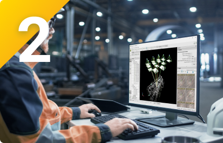
Process your data locally on PIX4Dmapper
Upload
Upload your outputs to PIX4Dcloud


Visualize & Analyze
Visualize your project online and analyze it by measuring distances, computing volume calculations and annotating site features.
Share
Share your findings and project status with all relevant stakeholders with a click of a button and keep everyone informed.

PIX4Dcloud at a glance
The online photogrammetry platform for 2D and 3D models
Work on the go
Visualize your project in 2D or 3D from any place in the world without the need for powerful hardware.
Quickly perform accurate measurements
Measure distances and areas for accurate planning. Save as annotations to make the measurements permanent.
Add annotations
Add different types of annotations, such as markers, inspections, lines, etc. to convey more valuable and actionable information.
Calculate volumes
Perform quick and precise volume calculations for accurate site surveys.
Share your project
Streamline communication by sharing projects effortlessly across teams and clients.

Billed monthly, excl. taxes/ month
/ month
- Flexible subscription - cancel at any time. Decide if you want to process online or not. No processing, no need to add extra credits.
- Processing credits - they are included in each subscription, so you can still process online if needed.
- Unlimited users & roles - fully control who has access to your projects.
- Measurements & Annotations - quickly and easily measure distances and highlight critical elements
- Personal support and updates - our dedicated support team is ready to assist you at any time.