The benefits of being Pix4D certified – Episode 4: UK
Read on for tips on improving your Pix4D projects, plus find out how other users are leveraging their Pix4D certification.
So far in this series, we have spoken to the first users to become Pix4D certified in
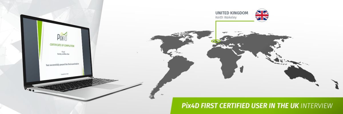
Canada, Mexico, and Sweden. Today we’re heading to Yorkshire to speak to the first Pix4D certified user in the UK.As the director of H&W Surveying and Consulting Keith Wakeley works across a wide range of projects – from aerial surveying through to building repairs. We spoke to Keith about the benefits of Pix4D certification.
1. How long have you been using the software, and UAV technology for remote sensing in general?
I’ve been using UAV technology since 2015 and Pix4Dmapper since early 2016. I’ve experimented with most of the other photogrammetry software solutions but settled on Pix4D early on as it provides the flexibility to work with the data to generate the results required. The quality reports are another feature we use as they allow for a detailed analysis of the accuracy obtained from the survey data.
2. What projects are you integrating the technology into?
We undertake a variety of projects from larger area topographical survey work captured with fixed wing assets to 3D building modelling with rotary UAV. Recently we have undertaken a number of detailed facade inspections where the orthoplane function of Pix4D has been particularly useful, giving clients a deliverable that can be imported straight into CAD to digitise features accurately.
We are currently privileged to be working on a project combining terrestrial scan data with UAV data to produce a detailed model of part of Great Ormond Street Hospital for Children in central London supporting the next phase of refurbishment works at the hospital. This project is not without its flying challenges, however data capture and processing via Pix4Dcapture and Pix4Dmapper has been successful.
3. What tips to get to improve the quality of their projects would you like to share with the other users?
Planning is fundamental to obtaining a quality data set. Understanding the client’s requirements and then planning the data capture is crucial to obtaining the required results. Of course accurate GCP should be taken as standard for any survey project to ensure both accuracy and a verifiable accuracy to report to clients.
An issue I have seen many times with other users are problems processing difficult terrain such as vegetation due to a lack of overlap. We’d advise that the extra time spent in the field ensuring sufficient overlap will be more than repaid back in the office when processing the data.
4. How would you describe the certification to other users?
The certification was a useful exercise to validate my knowledge of the software. I found the exercise an interesting one as there were several routes possible to achieve the required outcomes. Again, it came down to planning to optimise the workflow to achieve the best outcome with the fewest processing steps.
Flying a UAV and capturing the data is generally fairly straightforward. Using that data to deliver a useful output to your client is where we can add value. Gaining certification from the software developer enabled us to validate our workflow and provide confidence to our clients that the data they are receiving is accurate.
5. How did you prepare to pass the certification? Any tips for people that would like to get certified?
I found that the certification tutorials were helpful to refresh my knowledge of the software. For people who would like to get certified I’d strongly recommend the excellent tutorial videos on the Pix4D YouTube channel. The Pix4D Users Group on Facebook is also an excellent resource with many very knowledgeable users willing to offer assistance to others.
6. How do you plan to leverage your Pix4D certification?
We plan to ensure that our clients present and future are aware that we are certified users of the software we use. We work in partnership with The Drone Pilot Academy to deliver survey courses, teaching other operators the fundamentals of how to successfully undertake UAV surveys.
On the course we recommend Pix4D software for data processing, being Pix4D certified adds a degree of trust when we are instructing users on the use of the software for processing data.
7. How can the User Certification Program be improved for the future?
An advanced certificate would be a useful addition, dealing with resolving problem data and merging projects. The current certification program dealt with a good quality dataset captured over easy terrain with RTK positioning, making marking GCP and processing straightforward. Multiple flights, in difficult conditions over awkward terrain with shifts between geoid and ellipsoid make for a more challenging processing problem.
This is where I feel the depth and power of Pix4D really comes into its own over the simple cloud based solutions available. An advanced certification program dealing with these issues would allow Pix4D to demonstrate its full power together with allowing advanced users to certify their knowledge.
8. How do you see the future of the industry?
I think the industry will see an interesting few years. Growth in UAV data capture will inevitably continue to grow at a rapid rate as the advantages of UAV capture continue to be realised together with the speed and cost savings that can be made – in the correct circumstances.
There are many operators setting up offering “surveying” via UAV using cloud based software with no surveying background and no real knowledge of the accuracy of what they are delivering to clients thinking that flying a UAV is a ticket to a quick profit.Inevitably there will be push back from the professional surveying industry and clients in the near future as accuracy problems begin to emerge with poorly controlled data from non specialist operators using simple “upload and forget” web based solutions. This is where providers such as Pix4D who continue to undertake scientific research together with certified users of the system have the opportunity to distinguish themselves as professionals in their industry setting themselves apart from the non specialists.
Thank you, Keith!
Learn tips to successfully complete the certification program, improve your Pix4D projects, and benchmark how others are leveraging leveraging their Pix4D certification.


