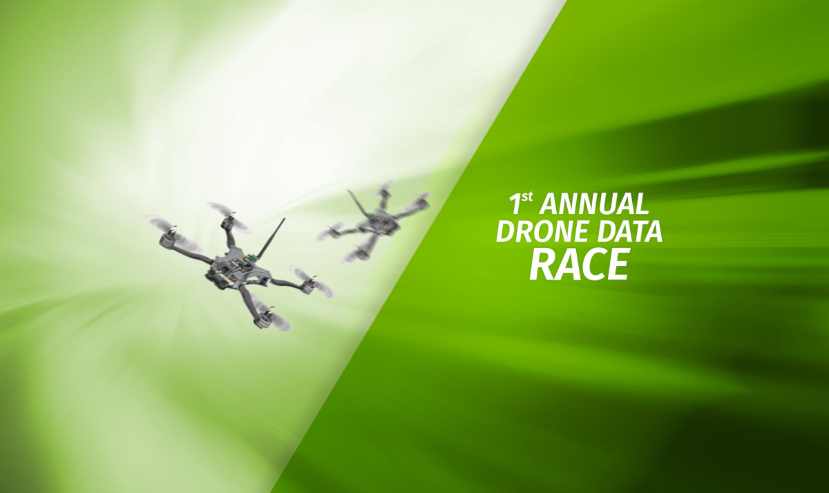
Environmental data collection and the need for speed
This year, Earth Day is race day!
On Saturday April 22, the Aerial and Aquatic Robot Research group (AARR) of the California State University Channel Islands is hosting the first Drone Data Race in Camarillo, CA.
The event is sponsored by Pix4D, the industry leader in professional drone mapping and photogrammetric software solutions.
Drone Data Race
In addition to the adrenaline spike of speeding around turns, and crossing the finish line, Drone Data Racers must complete the goal of collecting environmental data.
Pilots will face two challenges. At first one, the “Barrel Race”, they will race around a 1.3 km course, competing for the fastest time across the finish line while estimating the number of faux “oil” drums encountered along the course. Along the way racers will come across a mock oil spill consisting in part of a series of potentially “leaking” barrels.
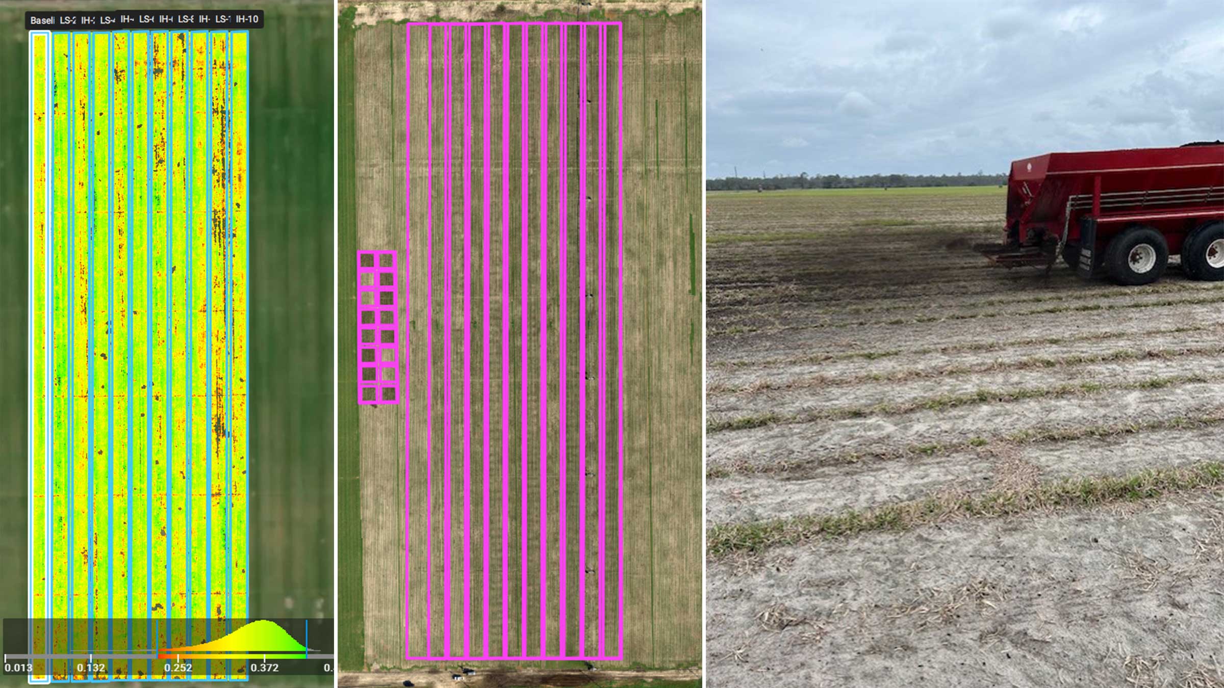
The second challenge, the “Spill Interpretation”, calls on pilots to focus on mapping and producing a geospatial output, analyzing the faux spill.
Pix4D software will be used for the “Spill Interpretation” challenge.
The winners will receive cash prizes and Pix4D licenses.
Need for Speed
Fast and accurate data is critical to plan emergency response actions.
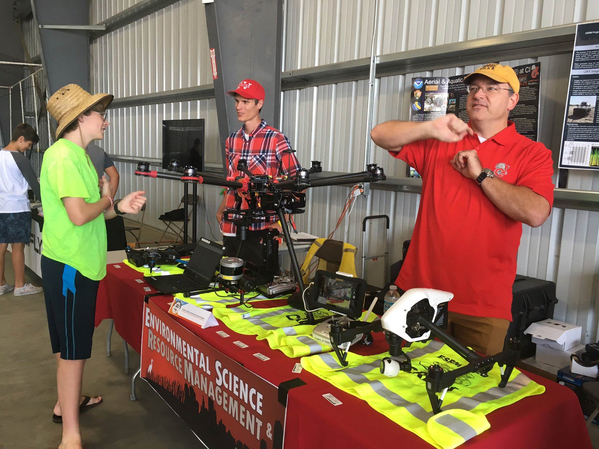
When it comes to initial response to environmental disasters, there is no need for powerful, research-grade drones. Consumer drones can quickly collect valuable information and help first responders swiftly visualize the environment and assess the situation.
The goal of the event is to build awareness of the potential benefits of drone technology to ever-wider sectors of society and encourage drone hobbyists to become more proficient environmental data collectors.