Slice it & dice it! Pix4D's new elevation profile tool
Elevation profiles or cross-sectional views are a useful tool whether you are planning earthworks or designing roadways, outlining utility and telecommunication infrastructure projects or mapping natural hazards, or even measuring crop height.
One-stop platform
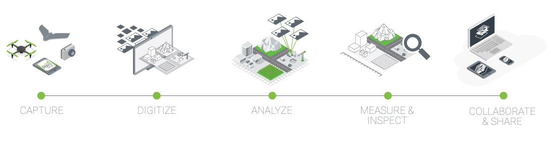
Pix4D offers you flexible software solutions from drone flight and desktop and cloud photogrammetric digitization platforms to spatial and volumetric analyses, along with virtual inspection and collaboration tools.
Now that elevation profiles are offered within Pix4D Cloud, there is no longer need to take an additional step to extract elevation profile data with other software.
Pix4D Cloud, the one stop platform from images to results
Creating an elevation profile in Pix4D Cloud
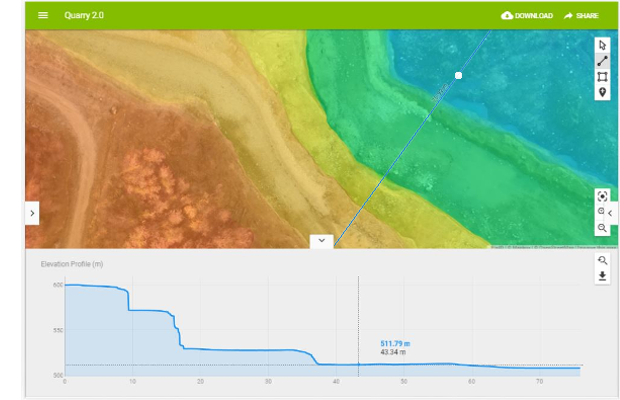
Creating an elevation profile in Pix4D Cloud is simple. Process your project on Pix4D Cloud or upload a georeferenced digital surface model (DSM) processed on your desktop device.
In the map or in the 3D view, draw a line perpendicular to the target area you want to analyze. Based on the digital surface model, Pix4D Cloud will extract and display the elevation information of each point.
Interactive visualization and easy export
Once you generate an elevation profile, the cross-sectional view appears in the panel at the bottom of the screen. Hover over the elevation-line path to visualize the elevation of each point.
The position of your cursor over the elevation profile line is simultaneously displayed and highlighted on the line you drew in the map or 3D view. This allows you to easily identify a concrete point of interest.
Export the elevation profile data just with one click. You can export the georeferenced elevation data as a .csv file for further analysis of visualization on industry-standard third-party software (such as CloudCompare or ArcGIS).
Try it now!
This tool is available for Pix4Dmapper, Pix4Dbim, and Pix4Dfields users. Learn more about elevation profiles.