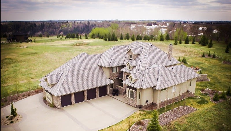
Selling high-end property with drone mapping
BlackHawk Aeronautical Solutions wanted to better represent a large property in in Edmonton, Canada, in 3D. They came to Pix4D for the solution.
Project Details
| Organization | BlackHawk Aeronautical Solutions Inc. |
| Country | Canada |
| Industry | Real Estate |
| Project date | Spring 2015 |
| Project size | 1.05 Acres |
| Equipment | DJI Phantom 2 Vision Plus |
| Software | Pix4Dmapper photogrammetry software |
| Number of images | 517 |
| Average GSD | 3 cm |
How to catch a buyer's eye
In real estate, capturing a potential buyer’s eye within the first few seconds is a critical part in selling a property. One way of doing this is to show future clients an impressive, up-to-date 3D reconstruction of those properties and their surroundings.
For this project, we recreated a large piece of property for a client in 3D, by using Pix4Dmapper photogrammetry software to process the images taken from consumer drones DJI Phantom 2 Vision Plus.
Mapping the property
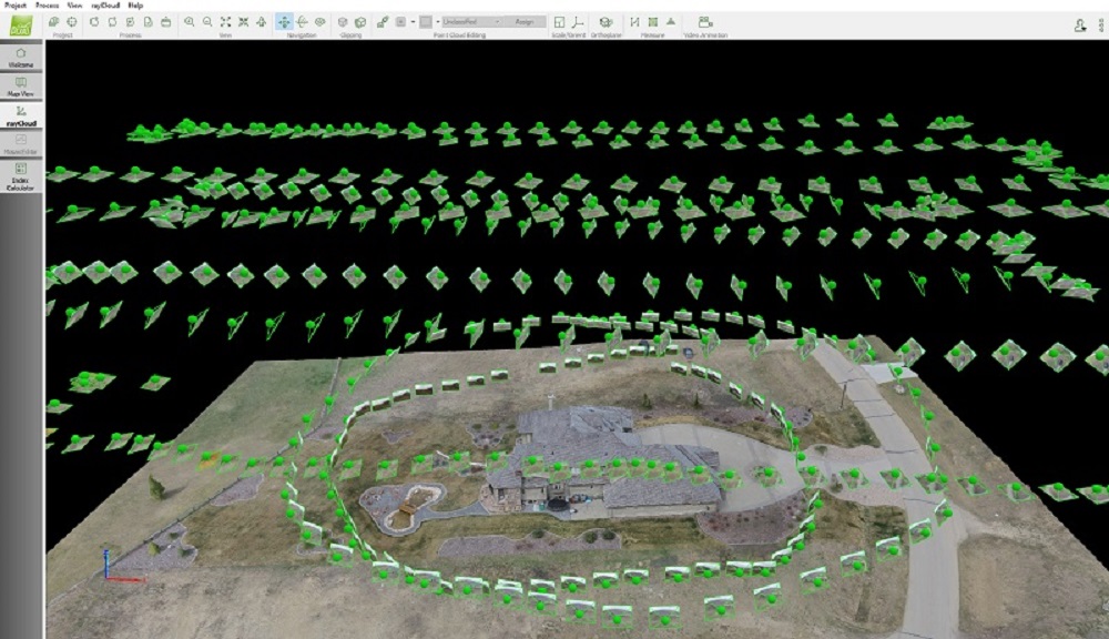
To capture images for the project, 5 flights were designed to cover the top and side of the building: 3 grid flights and 2 circular flights.
The grid flights were planned using the Pix4Dcapture drone flight planning app, with a DJI Phantom 2 Vision Plus flying and acquiring the overlapping images at 3 different height levels for overall reconstruction: nadir images from 100 and 200 feet above ground level (AGL), and oblique images from 150 feet AGL.
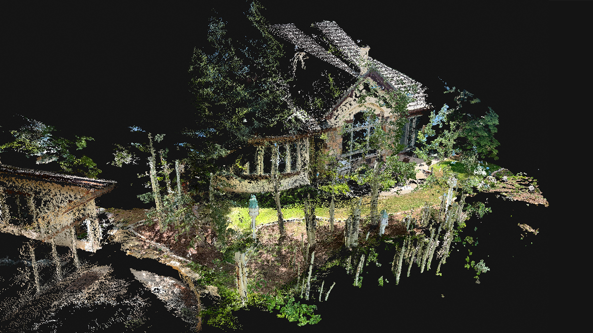
The circular flights were made around the building at 10 and 20 feet AGL in order to capture detailed information and close-up view of the facades.
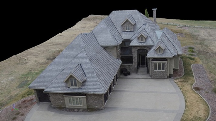
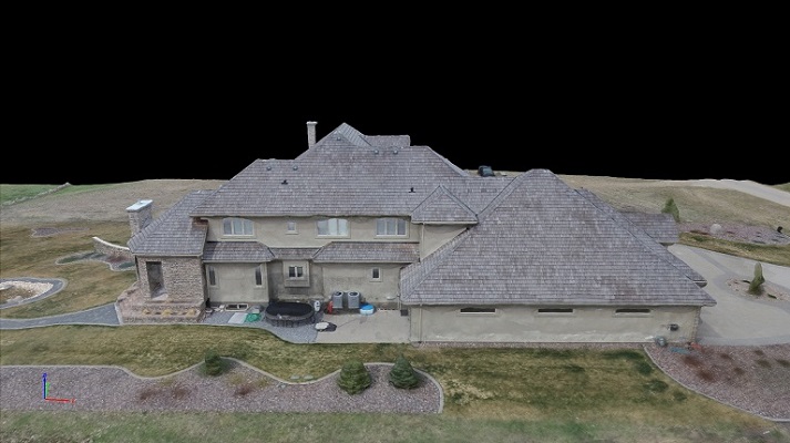
A drone's eye view
Pix4Dmapper was able to process all images from all flights (grid and circular) at one time and creates a nearly-perfect 3D recreation of my client’s property.
The only difference from the real world was just that there was some expected “melting” on the south and east side of the property where the images do not provide enough content or the area was covered by some other objects, such as the roof.
Advantage of the New Technology
With this new technology, using drones and the automated image processing software Pix4Dmapper, we have a 3D model that can showcase to potential buyers not only an overview of the property from all view angles, but also how close the property is to rivers, lakes, parks or other amenities that may be appealing to them.
Moreover, the full process was very quick. It took less than hour in total to obtain all the imagery and within one day we had processed the data as well as produced a video of the final rendering. In other words, we can always provide full 3D views and the most updated conditions of the properties to the buyers.